 Batum
Munich
Clio
Saint Bernard
Avery County
Aurora
Cito
Wallace County
Linville
Corso
Sierra County
Helm
Eureka
Coffee County
Columbine
Achi
Sorento
Point Hope
Althea
Batum
Munich
Clio
Saint Bernard
Avery County
Aurora
Cito
Wallace County
Linville
Corso
Sierra County
Helm
Eureka
Coffee County
Columbine
Achi
Sorento
Point Hope
Althea
El Mirage on the map, United States
Where is located El Mirage
Exact location — El Mirage, Maricopa County, Arizona, United States, marked on the map with a red marker.
Coordinates
El Mirage, United States coordinates in decimal format: latitude — 33.6130942, longitude — -112.3246042. When converted to degrees, minutes, seconds El Mirage has the following coordinates: 33°36′47.14 north latitude and -112°19′28.58 east longitude.
Exact time
Time zone for this location El Mirage — UTC -7 America/Phoenix. Exact time — friday, 4 april 2024 year, 03 h. 11 minutes.
Sunrise and sunset
El Mirage, sunrise and sunset data for a date — friday 19.04.2024.
| Sunrise | Sunset | Day (duration) |
|---|---|---|
| 05:55 -1 minute | 19:00 -0 minutes | 13 h. 6 minutes. +1 minute |
You can control the scale of the map using the auxiliary tools to find out exactly where it is located El Mirage. When you change the scale of the map, the width of the ruler also changes (in kilometers and miles).
Nearby cities
The largest cities that are located nearby:
- Peoria — 9 km
- Glendale — 15 km
- Phoenix — 29 km
- Scottsdale — 39 km
- Tempe — 41 km
- Mesa — 51 km
- Chandler — 56 km
- Gilbert — 57 km
- Tucson — 202 km
- San Luis Río Colorado
 (Mexico) — 262 km
 - Nogales — 284 km
- Mexicali (Mexico) — 311 km
- Henderson — 358 km
- Las Vegas — 378 km
- North Las Vegas — 379 km
- Spring Valley — 380 km
- Escondido — 444 km
- Ensenada (Mexico) — 446 km
- Moreno Valley — 451 km
Distance to neighboring capitals:
- Mexico City (Mexico) — 2048 km
- Belmopan
 (Belize) — 2972 km
 - Guatemala City
 (Guatemala) — 3046 km
 - Ottawa
 (Canada) — 3370 km
 - Nuuk
 (Greenland) — 5276 km
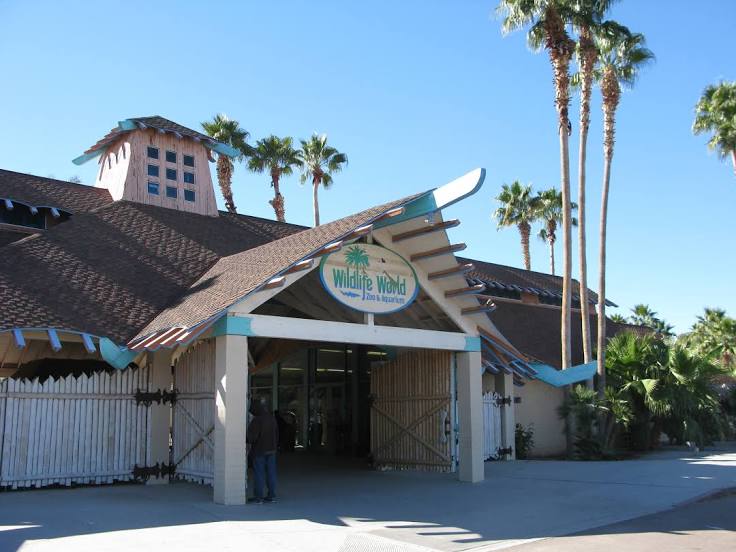
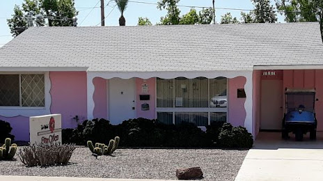
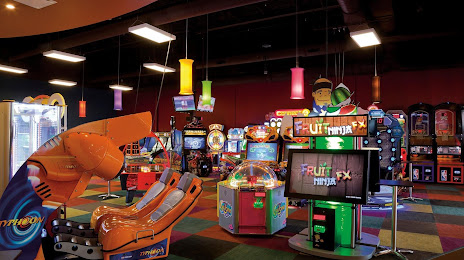
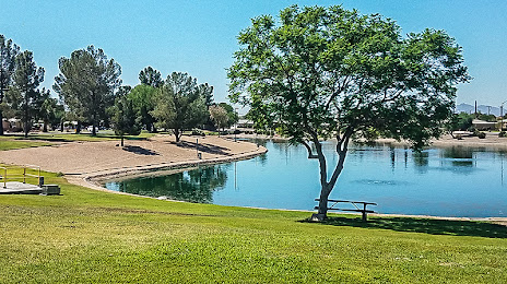
Attractions


Distance to the capital
Distance to the capital (Washington) is about — 3199 km.