 Hardeman County
Zante
Bassett
Obregon
Valley County
Astor
Tortuga
Maize
Moose
Akron
Polonia
La Paz County
Darwin
Big Lake
Grieve Field
Transfer
Lithium
Berkeley County
Signature Flight Support BOS - Boston Logan Int'l Airport
Hardeman County
Zante
Bassett
Obregon
Valley County
Astor
Tortuga
Maize
Moose
Akron
Polonia
La Paz County
Darwin
Big Lake
Grieve Field
Transfer
Lithium
Berkeley County
Signature Flight Support BOS - Boston Logan Int'l Airport
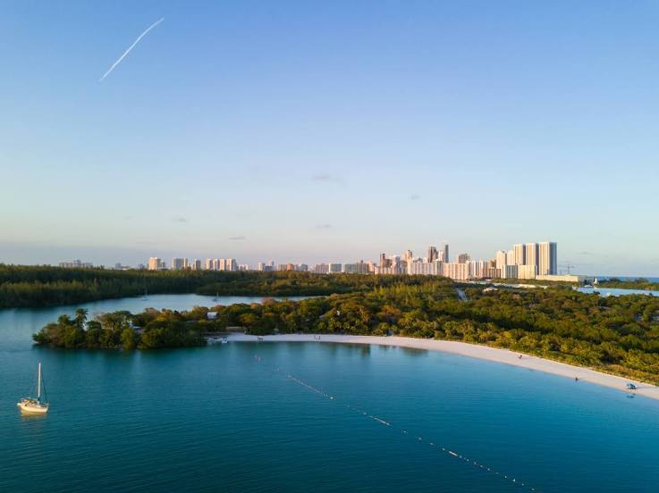
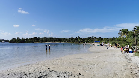
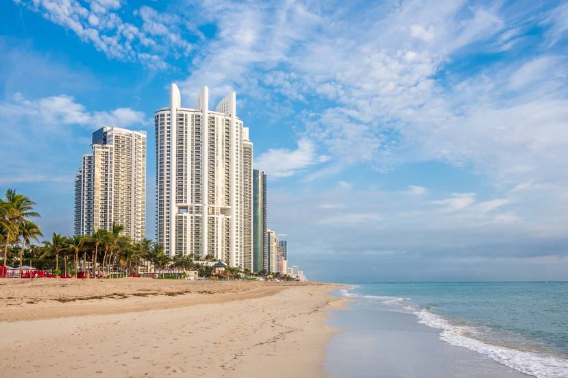
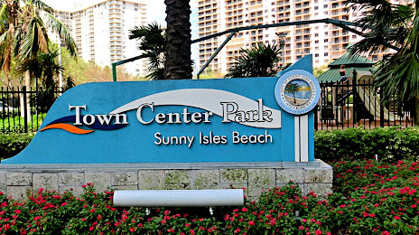
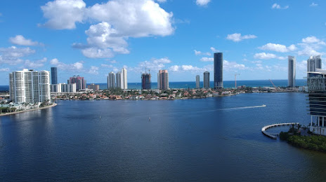
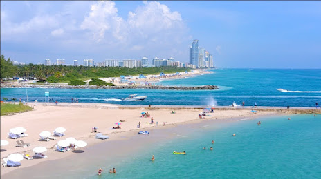
Sunny Isles Beach on the map, United States
Where is located Sunny Isles Beach
Exact location — Sunny Isles Beach, Miami-Dade County, Florida, United States, marked on the map with a red marker.
Coordinates
Sunny Isles Beach, United States coordinates in decimal format: latitude — 25.9428707, longitude — -80.1233802. When converted to degrees, minutes, seconds Sunny Isles Beach has the following coordinates: 25°56′34.33 north latitude and -80°7′24.17 east longitude.
Exact time
Time zone for this location Sunny Isles Beach — UTC -4 America/New_York. Exact time — friday, 4 april 2024 year, 00 h. 00 minutes.
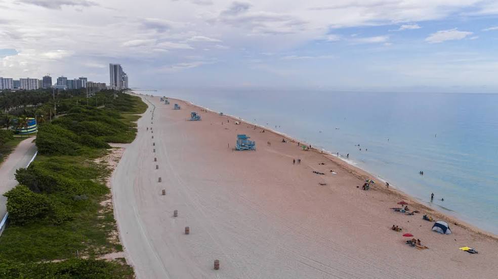
Sunrise and sunset
Sunny Isles Beach, sunrise and sunset data for a date — friday 19.04.2024.
| Sunrise | Sunset | Day (duration) |
|---|---|---|
| 06:55 -1 minute | 19:43 +1 minute | 12 h. 48 minutes. +2 minutes |
You can control the scale of the map using the auxiliary tools to find out exactly where it is located Sunny Isles Beach. When you change the scale of the map, the width of the ruler also changes (in kilometers and miles).
Nearby cities
The largest cities that are located nearby:
- Hollywood — 8 km
- Hialeah — 18 km
- Miramar — 19 km
- Pembroke Pines — 19 km
- Fort Lauderdale — 20 km
- Miami — 21 km
- Coral Springs — 39 km
- Port Saint Lucie — 149 km
- Cape Coral — 193 km
- Nassau
 (The Bahamas) — 295 km
 - Brandon — 305 km
- Orlando — 312 km
- Tampa — 318 km
- Saint Petersburg — 319 km
- Clearwater — 344 km
- Matanzas
 (Cuba) — 352 km
 - Havana (Cuba) — 377 km
- Santa Clara (Cuba) — 389 km
- Gainesville — 461 km
Distance to neighboring capitals:
- Belmopan
 (Belize) — 1316 km
 - Guatemala City
 (Guatemala) — 1662 km
 - Mexico City
 (Mexico) — 2078 km
 - Ottawa
 (Canada) — 2202 km
 - Nuuk
 (Greenland) — 4716 km
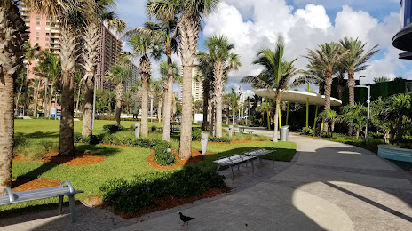
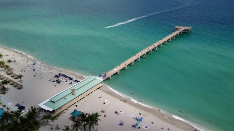
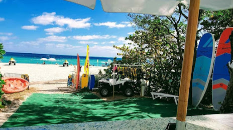
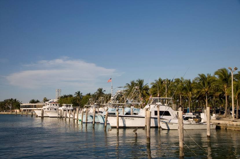
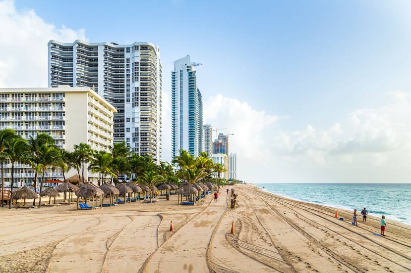
Attractions


Distance to the capital
Distance to the capital (Washington) is about — 1471 km.