 Verdes
Acapulco
Salamanca
Toluca
Tuxtla Gutiérrez
Villahermosa
Xalapa
Coatzacoalcos
Cuernavaca
Colima
San Luis Potosi
Tlaxcala
Campeche
Durango
Puebla
Oaxaca
Mexico City
Ciudad Madero
Saltillo
Verdes
Acapulco
Salamanca
Toluca
Tuxtla Gutiérrez
Villahermosa
Xalapa
Coatzacoalcos
Cuernavaca
Colima
San Luis Potosi
Tlaxcala
Campeche
Durango
Puebla
Oaxaca
Mexico City
Ciudad Madero
Saltillo
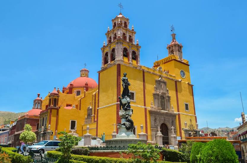
Guanajuato on the map, Mexico
Where is located Guanajuato
Exact location — Guanajuato, Guanajuato, Guanajuato, Mexico, marked on the map with a red marker.
Coordinates
Guanajuato, Mexico coordinates in decimal format: latitude — 21.0190145, longitude — -101.2573586. When converted to degrees, minutes, seconds Guanajuato has the following coordinates: 21°1′8.45 north latitude and -101°15′26.49 east longitude.
Population
Guanajuato, Guanajuato, Guanajuato, Mexico, according to our data the population is — 78,368 residents, which is about 0.1% of the total population of the country (Mexico).
Comparison of the population on the graph:
Exact time
Time zone for this location Guanajuato — UTC -6 America/Mexico_City. Exact time — wednesday, 4 april 2024 year, 04 h. 32 minutes.
Sunrise and sunset
Guanajuato, sunrise and sunset data for a date — wednesday 24.04.2024.
| Sunrise | Sunset | Day (duration) |
|---|---|---|
| 06:21 -0 minutes | 19:04 -0 minutes | 12 h. 42 minutes. -0 minutes |
You can control the scale of the map using the auxiliary tools to find out exactly where it is located Guanajuato. When you change the scale of the map, the width of the ruler also changes (in kilometers and miles).
Nearby cities
The largest cities that are located nearby:
- Irapuato — 39 km
- León — 46 km
- Salamanca — 50 km
- Celaya — 71 km
- Santiago de Querétaro — 102 km
- San Luis Potosi — 129 km
- Soledad de Graciano Sánchez — 133 km
- Aguascalientes — 143 km
- Morelia — 145 km
- San Juan del Río — 150 km
- Zamora — 156 km
- Uruapan — 196 km
- Tonalá — 210 km
- Tlaquepaque — 217 km
- Guadalajara — 220 km
- Zapopan — 227 km
- Zacatecas — 236 km
- Toluca — 255 km
- Cuautitlán Izcalli — 258 km
Distance to neighboring capitals:
- Guatemala City
 (Guatemala) — 1340 km
 - Belmopan
 (Belize) — 1377 km
 - Tegucigalpa
 (Honduras) — 1676 km
 - Washington
 (United States) — 3049 km
 - Ottawa
 (Canada) — 3577 km
 - Saint John
 (Puerto Rico) — 3684 km
 - Belgrade
 (Serbia) — 10620 km
 - Podgorica
 (Montenegro) — 10699 km
 - Hagåtña
 (Guam) — 11856 km
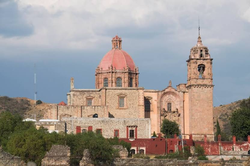
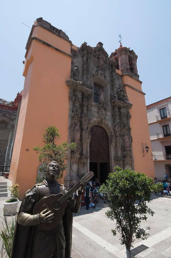
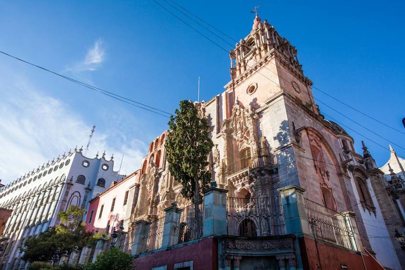
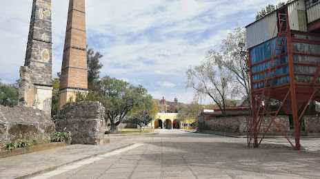
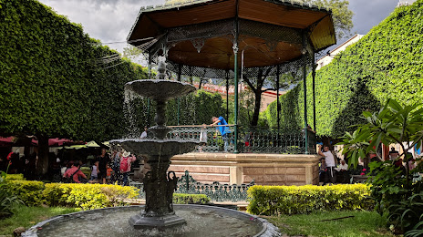
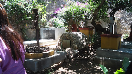
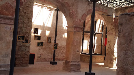
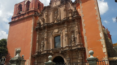
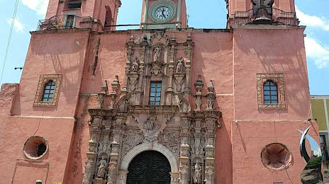
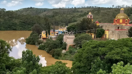
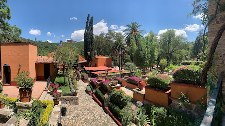
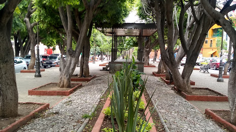
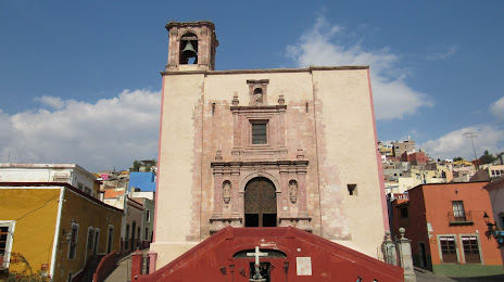
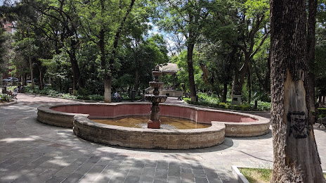
Attractions


Distance to the capital
Distance to the capital (Mexico City) is about — 283 km.