 Hershey
Miramar
Alum Rock
Brink
Citrus
Springfield
Virgin
Gas
Silesia
Zana
Ginger
Blaine
Purves
Bloomington
Cerro Grande
Albertville
Montpelier
Alcona
Anchorage
Hershey
Miramar
Alum Rock
Brink
Citrus
Springfield
Virgin
Gas
Silesia
Zana
Ginger
Blaine
Purves
Bloomington
Cerro Grande
Albertville
Montpelier
Alcona
Anchorage
Orinda on the map, United States
Where is located Orinda
Exact location — Orinda, Contra Costa County, California, United States, marked on the map with a red marker.
Coordinates
Orinda, United States coordinates in decimal format: latitude — 37.8771476, longitude — -122.1796888. When converted to degrees, minutes, seconds Orinda has the following coordinates: 37°52′37.73 north latitude and -122°10′46.88 east longitude.
Population
Orinda, Contra Costa County, California, United States, according to our data the population is — 17,643 residents, which is about 0% of the total population of the country (United States).
Comparison of the population on the graph:
Exact time
Time zone for this location Orinda — UTC -7 America/Los_Angeles. Exact time — friday, 4 april 2024 year, 19 h. 45 minutes.
Sunrise and sunset
Orinda, sunrise and sunset data for a date — friday 19.04.2024.
| Sunrise | Sunset | Day (duration) |
|---|---|---|
| 06:29 -1 minute | 19:45 +1 minute | 13 h. 18 minutes. +2 minutes |
You can control the scale of the map using the auxiliary tools to find out exactly where it is located Orinda. When you change the scale of the map, the width of the ruler also changes (in kilometers and miles).
Nearby cities
The largest cities that are located nearby:
- Berkeley — 8 km
- Oakland — 11 km
- Richmond — 16 km
- Concord — 17 km
- San Francisco — 24 km
- Hayward — 25 km
- Vallejo — 26 km
- Fremont — 40 km
- Fairfield — 43 km
- Sunnyvale — 58 km
- Santa Clara — 61 km
- San Jose — 65 km
- Santa Rosa — 78 km
- Stockton — 78 km
- Sacramento — 98 km
- Modesto — 107 km
- Roseville — 124 km
- Salinas — 141 km
- Fresno — 247 km
Distance to neighboring capitals:
- Mexico City
 (Mexico) — 3028 km
 - Ottawa
 (Canada) — 3897 km
 - Belmopan
 (Belize) — 3979 km
 - Guatemala City
 (Guatemala) — 4046 km
 - Nuuk
 (Greenland) — 5351 km
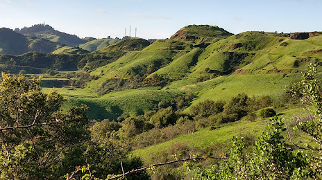
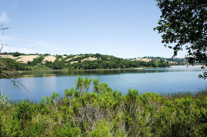
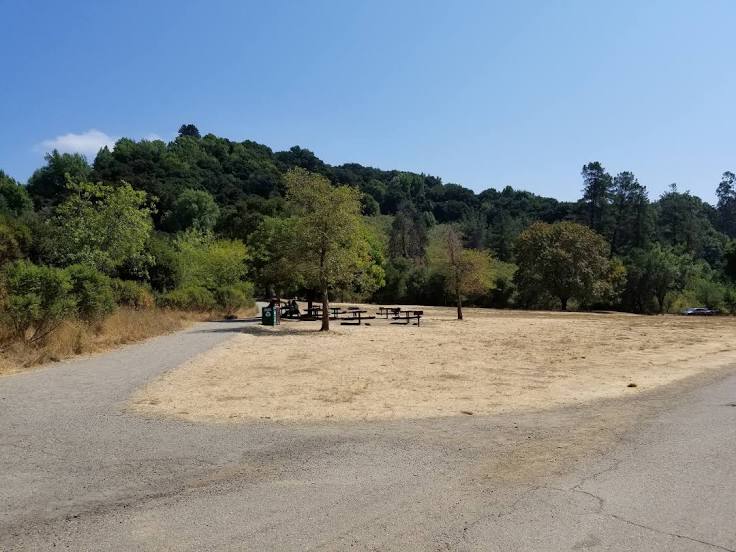
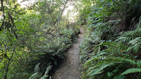
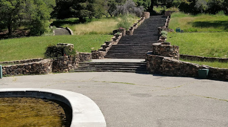
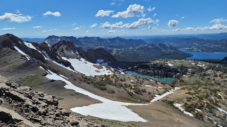
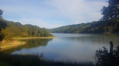
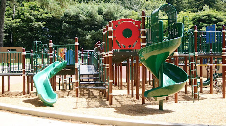
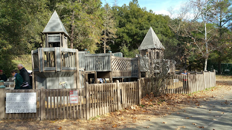
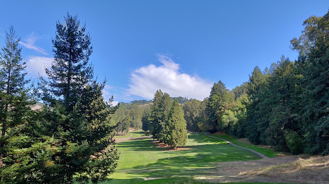
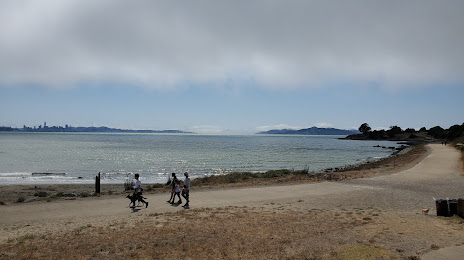
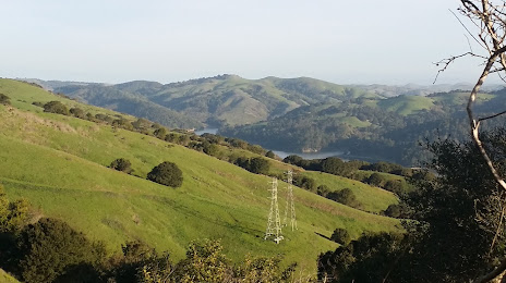
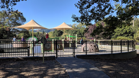
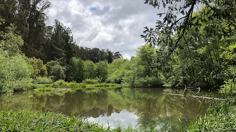
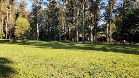
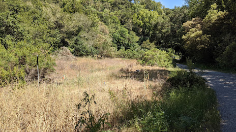
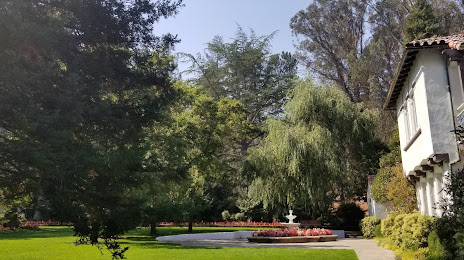
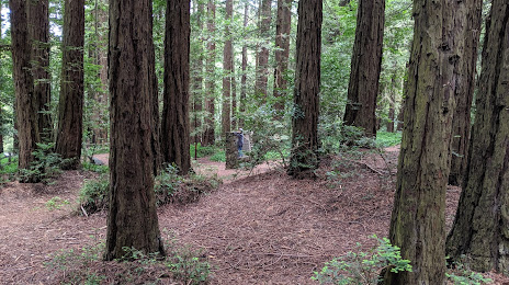
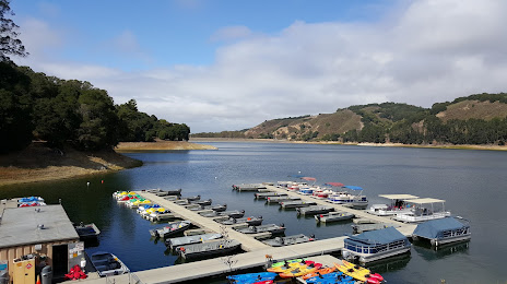
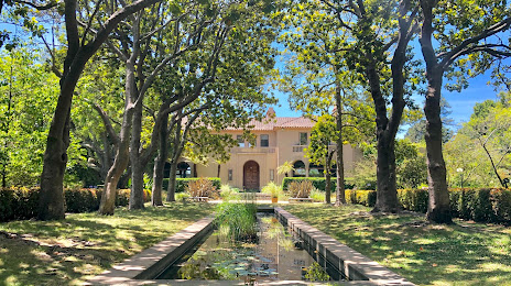
Attractions


Distance to the capital
Distance to the capital (Washington) is about — 3896 km.