 Springfield
Virgin
Gas
Silesia
Parma
Gypsum
Tampa International Airport
Lancaster
Anderson
Williams
Koro
Dixon
Highwood
Swanzy
Zana
Ginger
Blaine
Purves
Bloomington
Springfield
Virgin
Gas
Silesia
Parma
Gypsum
Tampa International Airport
Lancaster
Anderson
Williams
Koro
Dixon
Highwood
Swanzy
Zana
Ginger
Blaine
Purves
Bloomington
Citrus Heights on the map, United States
Where is located Citrus Heights
Exact location — Citrus Heights, Sacramento County, California, United States, marked on the map with a red marker.
Coordinates
Citrus Heights, United States coordinates in decimal format: latitude — 38.7071247, longitude — -121.2810611. When converted to degrees, minutes, seconds Citrus Heights has the following coordinates: 38°42′25.65 north latitude and -121°16′51.82 east longitude.
Population
Citrus Heights, Sacramento County, California, United States, according to our data the population is — 83,301 residents, which is about 0% of the total population of the country (United States).
Comparison of the population on the graph:
Exact time
Time zone for this location Citrus Heights — UTC -7 America/Los_Angeles. Exact time — wednesday, 4 april 2024 year, 09 h. 46 minutes.
Sunrise and sunset
Citrus Heights, sunrise and sunset data for a date — wednesday 24.04.2024.
| Sunrise | Sunset | Day (duration) |
|---|---|---|
| 06:18 -1 minute | 19:47 -0 minutes | 13 h. 30 minutes. +1 minute |
You can control the scale of the map using the auxiliary tools to find out exactly where it is located Citrus Heights. When you change the scale of the map, the width of the ruler also changes (in kilometers and miles).
Nearby cities
The largest cities that are located nearby:
- Roseville — 5 km
- Sacramento — 23 km
- Stockton — 83 km
- Fairfield — 83 km
- Concord — 104 km
- Vallejo — 108 km
- Modesto — 121 km
- Berkeley — 127 km
- Santa Rosa — 128 km
- Richmond — 128 km
- Oakland — 132 km
- Hayward — 134 km
- Fremont — 142 km
- San Francisco — 143 km
- Reno — 155 km
- San Jose — 160 km
- Santa Clara — 161 km
- Sunnyvale — 162 km
- Salinas — 227 km
Distance to neighboring capitals:
- Mexico City
 (Mexico) — 3022 km
 - Ottawa
 (Canada) — 3785 km
 - Belmopan
 (Belize) — 3951 km
 - Guatemala City
 (Guatemala) — 4029 km
 - Nuuk
 (Greenland) — 5230 km
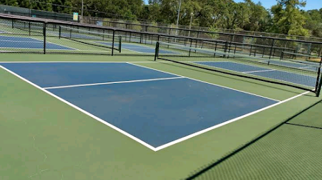
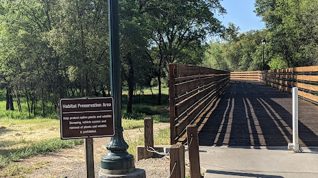
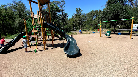
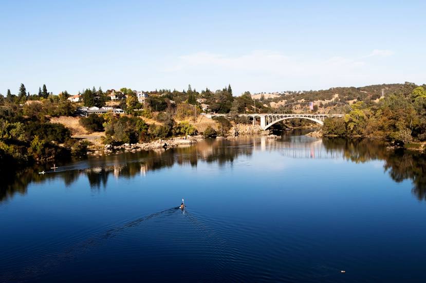
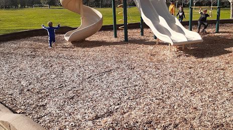
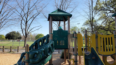
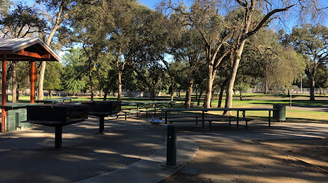
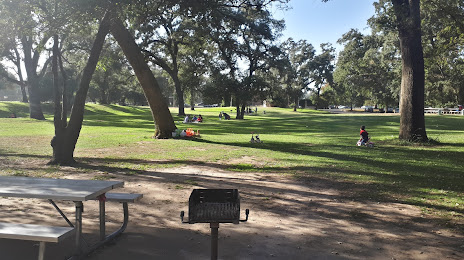
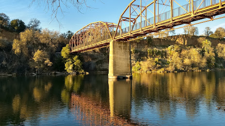
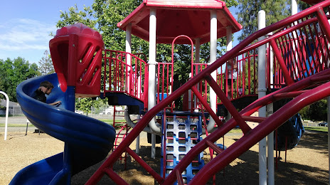
Attractions


Distance to the capital
Distance to the capital (Washington) is about — 3796 km.