 Anderson
Marion
Bristol
Dayton
Gainesboro
Torpedo
Fairplay
Waynesboro
Manhattan
Clayton
Hercules
Orinda
Albany
San Lorenzo
Newark
Ama
Moraga
Williams
Koro
Anderson
Marion
Bristol
Dayton
Gainesboro
Torpedo
Fairplay
Waynesboro
Manhattan
Clayton
Hercules
Orinda
Albany
San Lorenzo
Newark
Ama
Moraga
Williams
Koro
Miramar on the map, United States
Where is located Miramar
Exact location — Miramar, Broward County, Florida, United States, marked on the map with a red marker.
Coordinates
Miramar, United States coordinates in decimal format: latitude — 25.9860762, longitude — -80.3035602. When converted to degrees, minutes, seconds Miramar has the following coordinates: 25°59′9.87 north latitude and -80°18′12.82 east longitude.
Population
Miramar, Broward County, Florida, United States, according to our data the population is — 122,041 residents, which is about 0% of the total population of the country (United States).
Comparison of the population on the graph:
Exact time
Time zone for this location Miramar — UTC -4 America/New_York. Exact time — friday, 4 april 2024 year, 12 h. 01 minute.
Sunrise and sunset
Miramar, sunrise and sunset data for a date — friday 19.04.2024.
| Sunrise | Sunset | Day (duration) |
|---|---|---|
| 06:56 -1 minute | 19:44 +1 minute | 12 h. 48 minutes. +2 minutes |
You can control the scale of the map using the auxiliary tools to find out exactly where it is located Miramar. When you change the scale of the map, the width of the ruler also changes (in kilometers and miles).
Nearby cities
The largest cities that are located nearby:
- Pembroke Pines — 3 km
- Hialeah — 14 km
- Hollywood — 16 km
- Fort Lauderdale — 22 km
- Miami — 27 km
- Coral Springs — 32 km
- Port Saint Lucie — 142 km
- Cape Coral — 175 km
- Brandon — 290 km
- Orlando — 301 km
- Saint Petersburg — 302 km
- Tampa — 302 km
- Nassau
 (The Bahamas) — 314 km
 - Clearwater — 328 km
- Matanzas
 (Cuba) — 350 km
 - Havana (Cuba) — 371 km
- Santa Clara (Cuba) — 396 km
- Gainesville — 449 km
- Ciego De Avila (Cuba) — 485 km
Distance to neighboring capitals:
- Belmopan
 (Belize) — 1307 km
 - Guatemala City
 (Guatemala) — 1653 km
 - Mexico City
 (Mexico) — 2062 km
 - Ottawa
 (Canada) — 2200 km
 - Nuuk
 (Greenland) — 4717 km
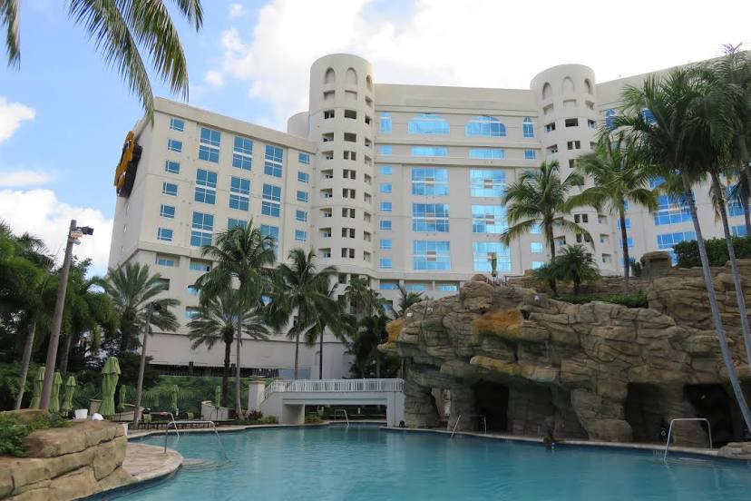
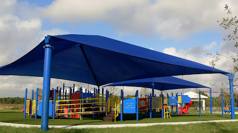
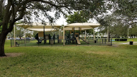
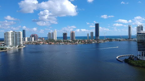
Attractions


Distance to the capital
Distance to the capital (Washington) is about — 1469 km.