 Marion
Bristol
Dayton
Gainesboro
Torpedo
Fairplay
Waynesboro
Manhattan
Wayne County
Fort Bragg
Clayton
Hercules
Orinda
Albany
San Lorenzo
Newark
Ama
Moraga
Williams
Marion
Bristol
Dayton
Gainesboro
Torpedo
Fairplay
Waynesboro
Manhattan
Wayne County
Fort Bragg
Clayton
Hercules
Orinda
Albany
San Lorenzo
Newark
Ama
Moraga
Williams
Alum Rock on the map, United States
Where is located Alum Rock
Exact location — Alum Rock, Santa Clara County, California, United States, marked on the map with a red marker.
Coordinates
Alum Rock, United States coordinates in decimal format: latitude — 37.370829, longitude — -121.8206743. When converted to degrees, minutes, seconds Alum Rock has the following coordinates: 37°22′14.98 north latitude and -121°49′14.43 east longitude.
Population
Alum Rock, Santa Clara County, California, United States, according to our data the population is — 15,536 residents, which is about 0% of the total population of the country (United States).
Comparison of the population on the graph:
Exact time
Time zone for this location Alum Rock — UTC -7 America/Los_Angeles. Exact time — thursday, 4 april 2024 year, 07 h. 59 minutes.
Sunrise and sunset
Alum Rock, sunrise and sunset data for a date — thursday 25.04.2024.
| Sunrise | Sunset | Day (duration) |
|---|---|---|
| 06:21 -1 minute | 19:48 -0 minutes | 13 h. 30 minutes. +1 minute |
You can control the scale of the map using the auxiliary tools to find out exactly where it is located Alum Rock. When you change the scale of the map, the width of the ruler also changes (in kilometers and miles).
Nearby cities
The largest cities that are located nearby:
- San Jose — 7 km
- Santa Clara — 12 km
- Sunnyvale — 19 km
- Fremont — 25 km
- Hayward — 40 km
- Oakland — 62 km
- Berkeley — 68 km
- San Francisco — 69 km
- Concord — 70 km
- Richmond — 76 km
- Modesto — 78 km
- Salinas — 78 km
- Stockton — 80 km
- Vallejo — 89 km
- Fairfield — 99 km
- Sacramento — 137 km
- Santa Rosa — 141 km
- Roseville — 159 km
- Fresno — 194 km
Distance to neighboring capitals:
- Mexico City
 (Mexico) — 2969 km
 - Ottawa
 (Canada) — 3895 km
 - Belmopan
 (Belize) — 3926 km
 - Guatemala City
 (Guatemala) — 3990 km
 - Nuuk
 (Greenland) — 5380 km
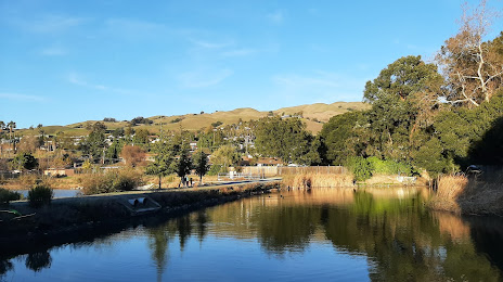
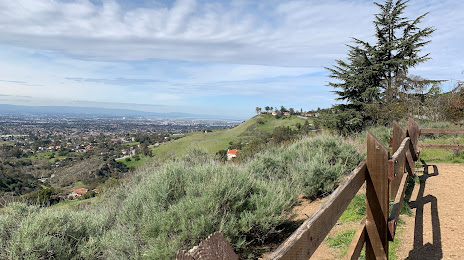
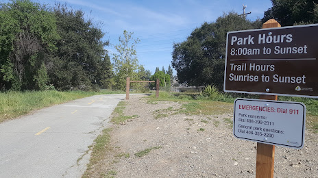
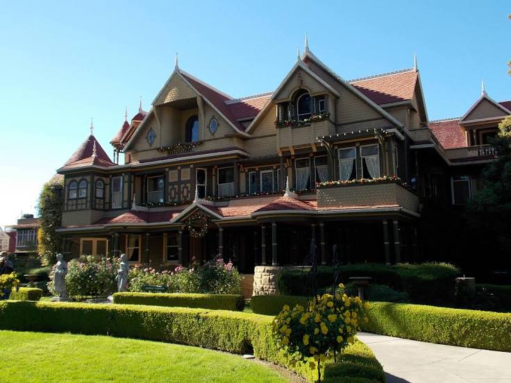
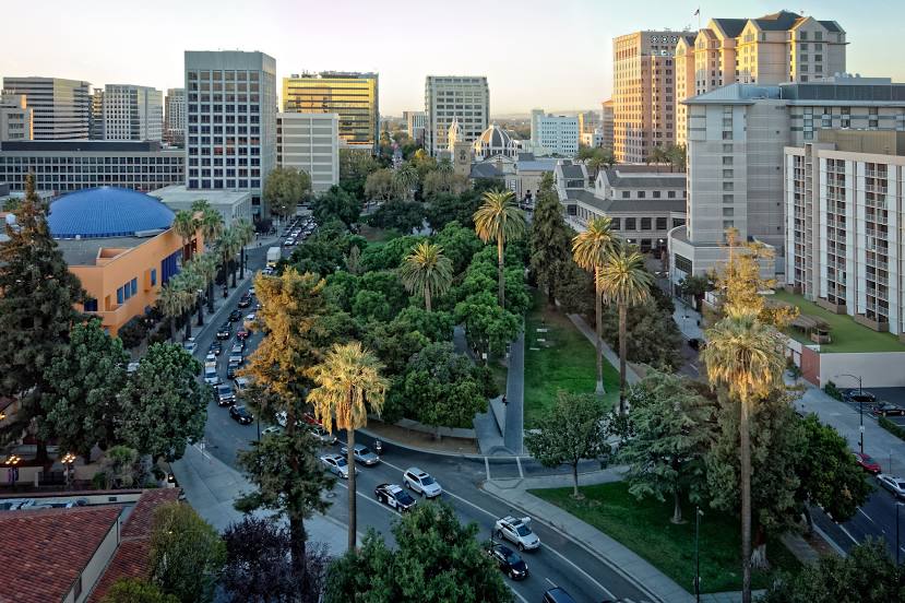
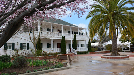
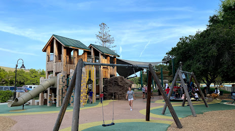
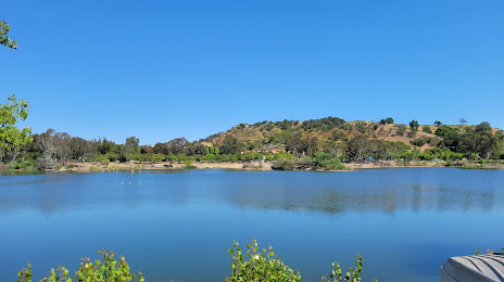
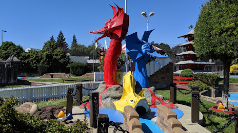
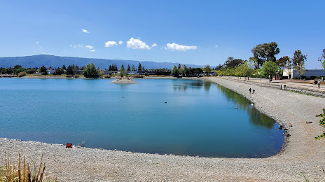
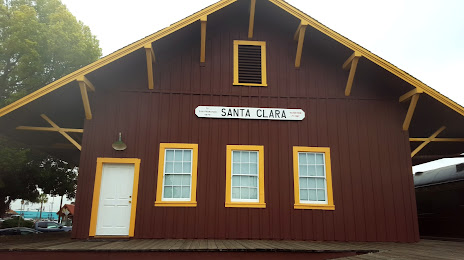
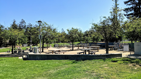
Attractions


Distance to the capital
Distance to the capital (Washington) is about — 3882 km.