 Findlay
Zane
Amba
Arh
Lodi
Bennett County
Elbe
San Cristobal
Palomas
Miami International Airport
Bucks County
Castor
Calamine
Gonzales
Laurie
Groton
Wessington Springs
Ernst
Caldera
Findlay
Zane
Amba
Arh
Lodi
Bennett County
Elbe
San Cristobal
Palomas
Miami International Airport
Bucks County
Castor
Calamine
Gonzales
Laurie
Groton
Wessington Springs
Ernst
Caldera
Sandy Springs on the map, United States
Where is located Sandy Springs
Exact location — Sandy Springs, Fulton County, Georgia, United States, marked on the map with a red marker.
Coordinates
Sandy Springs, United States coordinates in decimal format: latitude — 33.9304352, longitude — -84.3733147. When converted to degrees, minutes, seconds Sandy Springs has the following coordinates: 33°55′49.57 north latitude and -84°22′23.93 east longitude.
Population
Sandy Springs, Fulton County, Georgia, United States, according to our data the population is — 93,853 residents, which is about 0% of the total population of the country (United States).
Comparison of the population on the graph:
Exact time
Time zone for this location Sandy Springs — UTC -4 America/New_York. Exact time — wednesday, 4 april 2024 year, 18 h. 29 minutes.
Sunrise and sunset
Sandy Springs, sunrise and sunset data for a date — wednesday 24.04.2024.
| Sunrise | Sunset | Day (duration) |
|---|---|---|
| 06:57 -1 minute | 20:13 +1 minute | 13 h. 18 minutes. +2 minutes |
You can control the scale of the map using the auxiliary tools to find out exactly where it is located Sandy Springs. When you change the scale of the map, the width of the ruler also changes (in kilometers and miles).
Nearby cities
The largest cities that are located nearby:
- Atlanta — 20 km
- Chattanooga — 150 km
- Huntsville — 220 km
- Knoxville — 228 km
- Birmingham — 228 km
- Montgomery — 250 km
- Columbia — 306 km
- Nashville — 327 km
- Charlotte — 350 km
- Savannah — 368 km
- Tallahassee — 386 km
- Clarksville — 391 km
- Charleston — 432 km
- Winston-Salem — 440 km
- Greensboro — 473 km
- Jacksonville — 475 km
- Louisville — 493 km
- Mobile — 499 km
- Gainesville — 512 km
Distance to neighboring capitals:
- Ottawa
 (Canada) — 1476 km
 - Belmopan
 (Belize) — 1906 km
 - Mexico City
 (Mexico) — 2175 km
 - Guatemala City
 (Guatemala) — 2236 km
 - Nuuk
 (Greenland) — 4028 km
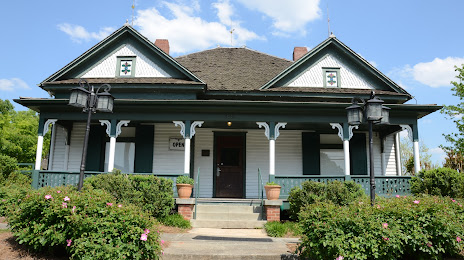
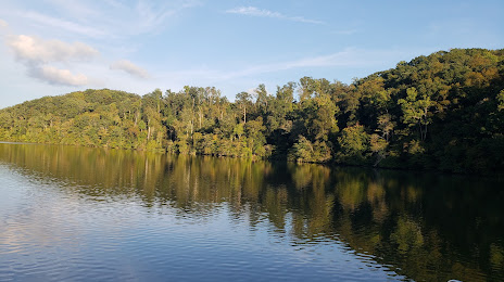
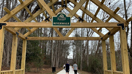
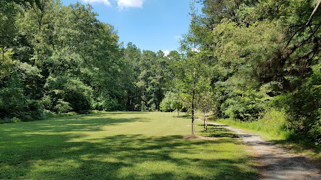
Attractions


Distance to the capital
Distance to the capital (Washington) is about — 858 km.