 Chase County
Florence
Bois D'Arc
Midwest
Mills County
George
Bullock
Allen County
Delta
Grano
Murphy
Birmingham
Glacier
Vandenberg Air Force Base
Greenland
Barnegat Township
Middlebury
Cuba
Mouton
Chase County
Florence
Bois D'Arc
Midwest
Mills County
George
Bullock
Allen County
Delta
Grano
Murphy
Birmingham
Glacier
Vandenberg Air Force Base
Greenland
Barnegat Township
Middlebury
Cuba
Mouton
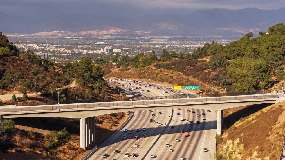
San Fernando on the map, United States
Where is located San Fernando
Exact location — San Fernando, Los Angeles County, California, United States, marked on the map with a red marker.
Coordinates
San Fernando, United States coordinates in decimal format: latitude — 34.2819461, longitude — -118.4389719. When converted to degrees, minutes, seconds San Fernando has the following coordinates: 34°16′55.01 north latitude and -118°26′20.3 east longitude.
Population
San Fernando, Los Angeles County, California, United States, according to our data the population is — 23,645 residents, which is about 0% of the total population of the country (United States).
Comparison of the population on the graph:
Exact time
Time zone for this location San Fernando — UTC -7 America/Los_Angeles. Exact time — thursday, 4 april 2024 year, 08 h. 43 minutes.
Sunrise and sunset
San Fernando, sunrise and sunset data for a date — thursday 25.04.2024.
| Sunrise | Sunset | Day (duration) |
|---|---|---|
| 06:12 -1 minute | 19:30 +1 minute | 13 h. 18 minutes. +2 minutes |
You can control the scale of the map using the auxiliary tools to find out exactly where it is located San Fernando. When you change the scale of the map, the width of the ruler also changes (in kilometers and miles).
Nearby cities
The largest cities that are located nearby:
- Santa Clarita — 15 km
- Burbank — 16 km
- Universal City — 18 km
- Santa Clarita — 21 km
- Glendale — 23 km
- Pasadena — 31 km
- Los Angeles — 31 km
- Simi Valley — 31 km
- Inglewood — 36 km
- East Los Angeles — 38 km
- Thousand Oaks — 38 km
- Palmdale — 44 km
- El Monte — 44 km
- Downey — 47 km
- Torrance — 50 km
- West Covina — 52 km
- Lancaster — 52 km
- Norwalk — 53 km
- Long Beach — 61 km
Distance to neighboring capitals:
- Mexico City
 (Mexico) — 2521 km
 - Belmopan
 (Belize) — 3503 km
 - Guatemala City
 (Guatemala) — 3551 km
 - Ottawa
 (Canada) — 3803 km
 - Nuuk
 (Greenland) — 5506 km
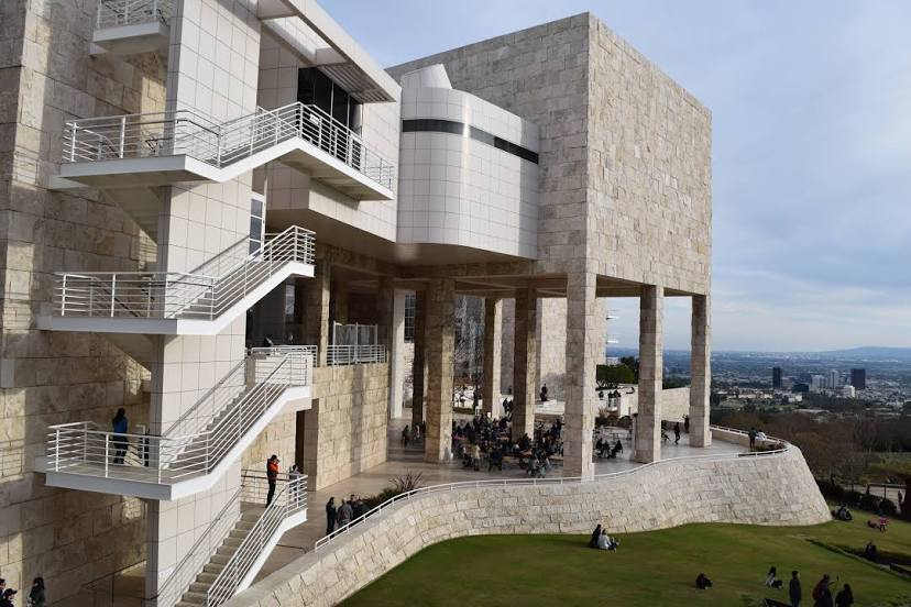
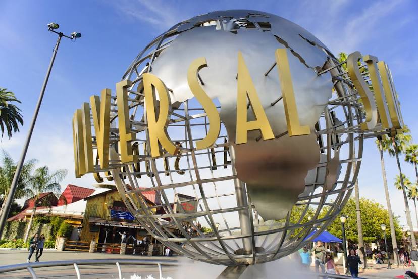
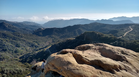
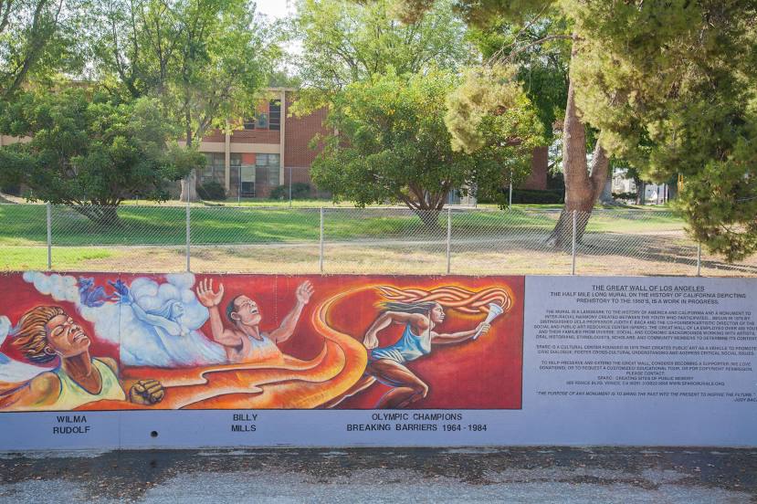
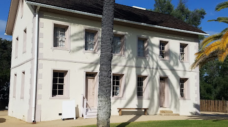
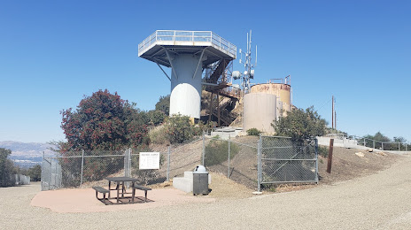
Attractions


Distance to the capital
Distance to the capital (Washington) is about — 3701 km.