 Isla Mujeres
Xpu Ha
Punta Mita
Mulegé Municipality
Rosarito
Bahía de los Ángeles
San Felipe
Tequisquiapan
Juriquilla
San Pedro Amuzgos
Nuevo Orizaba
General Escobedo
Arroyo Lirio
Tultepec
Casitas
Cuautlancingo
San Martín Texmelucan de Labastida
Puebla
Finisterre
Isla Mujeres
Xpu Ha
Punta Mita
Mulegé Municipality
Rosarito
Bahía de los Ángeles
San Felipe
Tequisquiapan
Juriquilla
San Pedro Amuzgos
Nuevo Orizaba
General Escobedo
Arroyo Lirio
Tultepec
Casitas
Cuautlancingo
San Martín Texmelucan de Labastida
Puebla
Finisterre
Tapachula on the map, Mexico
Where is located Tapachula
Exact location — Tapachula, Chiapas, Mexico, marked on the map with a red marker.
Coordinates
Tapachula, Mexico coordinates in decimal format: latitude — 14.9055599, longitude — -92.2634206. When converted to degrees, minutes, seconds Tapachula has the following coordinates: 14°54′20.02 north latitude and -92°15′48.31 east longitude.
Population
Tapachula, Chiapas, Mexico, according to our data the population is — 197,961 residents, which is about 0.2% of the total population of the country (Mexico).
Comparison of the population on the graph:
Exact time
Time zone for this location Tapachula — UTC -6 America/Mexico_City. Exact time — wednesday, 4 april 2024 year, 17 h. 16 minutes.
Sunrise and sunset
Tapachula, sunrise and sunset data for a date — wednesday 24.04.2024.
| Sunrise | Sunset | Day (duration) |
|---|---|---|
| 05:51 -1 minute | 18:22 -0 minutes | 12 h. 30 minutes. +1 minute |
You can control the scale of the map using the auxiliary tools to find out exactly where it is located Tapachula. When you change the scale of the map, the width of the ruler also changes (in kilometers and miles).
Nearby cities
The largest cities that are located nearby:
- Quetzaltenango
 (Guatemala) — 80 km
 - Escuintla (Guatemala) — 172 km
- San Juan Sacatepéquez (Guatemala) — 174 km
- Villa Nueva (Guatemala) — 184 km
- Guatemala City (Guatemala) — 188 km
- Villa Canales (Guatemala) — 193 km
- San Cristóbal de las Casas — 206 km
- Tuxtla Gutiérrez — 223 km
- Santa Ana
 (El Salvador) — 307 km
 - Santa Tecla (El Salvador) — 347 km
- Villahermosa — 348 km
- Mejicanos (El Salvador) — 352 km
- Apopa (El Salvador) — 353 km
- San Salvador (El Salvador) — 354 km
- Soyapango (El Salvador) — 361 km
- Minatitlán — 417 km
- Ciudad del Carmen — 417 km
- Coatzacoalcos — 425 km
- San Pedro Sula
 (Honduras) — 455 km
Distance to neighboring capitals:
- Guatemala City (Guatemala) — 189 km
- Belmopan
 (Belize) — 456 km
 - Tegucigalpa (Honduras) — 551 km
- Saint John
 (Puerto Rico) — 2812 km
 - Washington
 (United States) — 3057 km
 - Ottawa
 (Canada) — 3732 km
 - Belgrade
 (Serbia) — 10544 km
 - Podgorica
 (Montenegro) — 10572 km
 - Hagåtña
 (Guam) — 12997 km
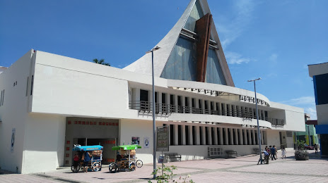
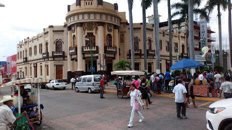
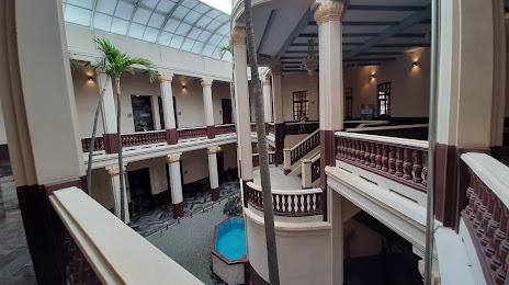
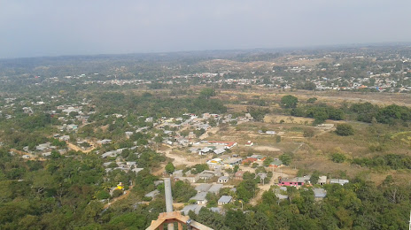
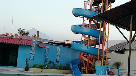
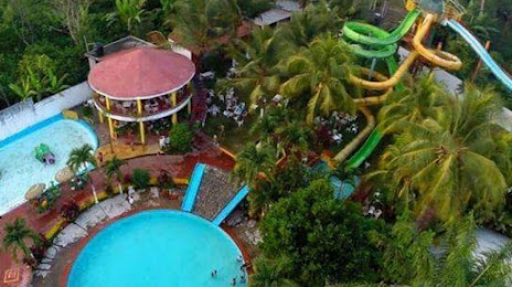
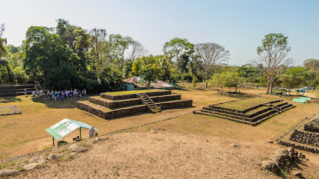
Attractions
Distance to the capital
Distance to the capital (Mexico City) is about — 887 km.