 Kohunlich
Huatulco International Airport HUX
Progreso
Jalcomulco
Cuyoaco
Martínez de la Torre
Almanza
Temextla
Estación San José
Cazones de Herrera
Mariano Escobedo
Ixtaczoquitlán
Atoyac
Oteapan
Hueyapan de Ocampo
Dos Ríos
Nanchital de Lázaro Cárdenas del Río
Carlos A. Carrillo
Tantoyuca
Kohunlich
Huatulco International Airport HUX
Progreso
Jalcomulco
Cuyoaco
Martínez de la Torre
Almanza
Temextla
Estación San José
Cazones de Herrera
Mariano Escobedo
Ixtaczoquitlán
Atoyac
Oteapan
Hueyapan de Ocampo
Dos Ríos
Nanchital de Lázaro Cárdenas del Río
Carlos A. Carrillo
Tantoyuca
Tonalá on the map, Mexico
Where is located Tonalá
Exact location — Tonalá, Jalisco, Mexico, marked on the map with a red marker.
Coordinates
Tonalá, Mexico coordinates in decimal format: latitude — 20.6237413, longitude — -103.2413723. When converted to degrees, minutes, seconds Tonalá has the following coordinates: 20°37′25.47 north latitude and -103°14′28.94 east longitude.
Population
Tonalá, Jalisco, Mexico, according to our data the population is — 401,509 residents, which is about 0.3% of the total population of the country (Mexico).
Comparison of the population on the graph:
Exact time
Time zone for this location Tonalá — UTC -6 America/Mexico_City. Exact time — saturday, 4 april 2024 year, 08 h. 29 minutes.
Sunrise and sunset
Tonalá, sunrise and sunset data for a date — saturday 20.04.2024.
| Sunrise | Sunset | Day (duration) |
|---|---|---|
| 06:32 -1 minute | 19:11 +1 minute | 12 h. 42 minutes. +2 minutes |
You can control the scale of the map using the auxiliary tools to find out exactly where it is located Tonalá. When you change the scale of the map, the width of the ruler also changes (in kilometers and miles).
Nearby cities
The largest cities that are located nearby:
- Tlaquepaque — 8 km
- Guadalajara — 12 km
- Zapopan — 19 km
- Zamora — 122 km
- Colima — 161 km
- León — 170 km
- Aguascalientes — 170 km
- Uruapan — 184 km
- Irapuato — 195 km
- Tepic — 196 km
- Manzanillo — 203 km
- Puerto Vallarta — 205 km
- Salamanca — 211 km
- Morelia — 236 km
- Zacatecas — 247 km
- Celaya — 252 km
- Fresnillo — 285 km
- San Luis Potosi — 286 km
- Soledad de Graciano Sánchez — 292 km
Distance to neighboring capitals:
- Guatemala City
 (Guatemala) — 1503 km
 - Belmopan
 (Belize) — 1568 km
 - Tegucigalpa
 (Honduras) — 1849 km
 - Washington
 (United States) — 3225 km
 - Ottawa
 (Canada) — 3732 km
 - Saint John
 (Puerto Rico) — 3892 km
 - Belgrade
 (Serbia) — 10779 km
 - Podgorica
 (Montenegro) — 10863 km
 - Hagåtña
 (Guam) — 11680 km
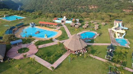
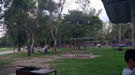
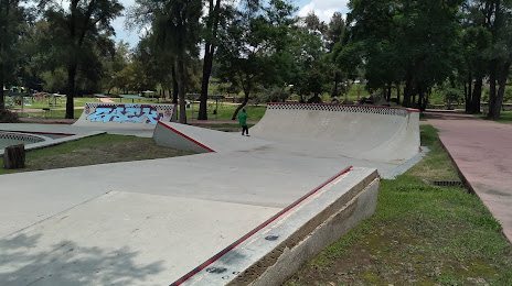
Attractions


Distance to the capital
Distance to the capital (Mexico City) is about — 449 km.