 Middletown
Moore County
Ballena
Magnolia
Hilton Head Island
Bejou
Charlottesville
Anthem
Clarksville
Romney
Grand Ledge
Belville
De Lisle
Reo
Wheeler Ridge
Wakefield
Kasaan
Clark County
Russellville
Middletown
Moore County
Ballena
Magnolia
Hilton Head Island
Bejou
Charlottesville
Anthem
Clarksville
Romney
Grand Ledge
Belville
De Lisle
Reo
Wheeler Ridge
Wakefield
Kasaan
Clark County
Russellville
Ellington on the map, United States
Where is located Ellington
Exact location — Ellington, Tolland County, Connecticut, United States, marked on the map with a red marker.
Coordinates
Ellington, United States coordinates in decimal format: latitude — 41.9172826, longitude — -72.458236. When converted to degrees, minutes, seconds Ellington has the following coordinates: 41°55′2.22 north latitude and -72°27′29.65 east longitude.
Population
Ellington, Tolland County, Connecticut, United States, according to our data the population is — 14,693 residents, which is about 0% of the total population of the country (United States).
Comparison of the population on the graph:
Exact time
Time zone for this location Ellington — UTC -4 America/New_York. Exact time — friday, 4 april 2024 year, 22 h. 05 minutes.
Sunrise and sunset
Ellington, sunrise and sunset data for a date — friday 19.04.2024.
| Sunrise | Sunset | Day (duration) |
|---|---|---|
| 06:05 -1 minute | 19:32 +1 minute | 13 h. 30 minutes. +2 minutes |
You can control the scale of the map using the auxiliary tools to find out exactly where it is located Ellington. When you change the scale of the map, the width of the ruler also changes (in kilometers and miles).
Nearby cities
The largest cities that are located nearby:
- Springfield — 23 km
- Hartford — 25 km
- Amherst — 47 km
- Waterbury — 63 km
- Worcester — 66 km
- New Haven — 78 km
- Providence — 87 km
- Bridgeport — 101 km
- Cambridge — 121 km
- Lowell — 122 km
- Boston — 124 km
- Stamford — 131 km
- Manchester — 144 km
- Yonkers — 162 km
- Paterson — 181 km
- New York — 186 km
- Brooklyn — 187 km
- Newark — 194 km
- Elizabeth — 202 km
Distance to neighboring capitals:
- Ottawa
 (Canada) — 469 km
 - Nuuk
 (Greenland) — 2807 km
 - Belmopan
 (Belize) — 3152 km
 - Guatemala City
 (Guatemala) — 3499 km
 - Mexico City
 (Mexico) — 3544 km
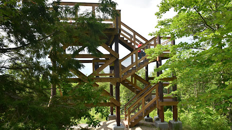
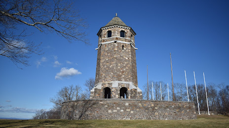
Attractions


Distance to the capital
Distance to the capital (Washington) is about — 512 km.