
 Oldenburg
Schwerte
Dresden
Hamm
Ingolstadt
Leer
Hanover
Neustadt am Kulm
Planegg
Lindlar
Deidesheim
Erding
Weil am Rhein
Pfaffenhofen an der Ilm
Nuremberg
Heidelberg
Beverstedt
Potsdam
Wuppertal
Oldenburg
Schwerte
Dresden
Hamm
Ingolstadt
Leer
Hanover
Neustadt am Kulm
Planegg
Lindlar
Deidesheim
Erding
Weil am Rhein
Pfaffenhofen an der Ilm
Nuremberg
Heidelberg
Beverstedt
Potsdam
Wuppertal
Unterschleißheim on the map, Germany
Where is located Unterschleißheim
Exact location — Unterschleißheim, Upper Bavaria, Bavaria, Germany, marked on the map with a red marker.
Coordinates
Unterschleißheim, Germany coordinates in decimal format: latitude — 48.28412, longitude — 11.5672. When converted to degrees, minutes, seconds Unterschleißheim has the following coordinates: 48°17′2.83 north latitude and 11°34′1.92 east longitude.
Population
Unterschleißheim, Upper Bavaria, Bavaria, Germany, according to our data the population is — 25,567 residents, which is about 0% of the total population of the country (Germany).
Comparison of the population on the graph:
Exact time
Time zone for this location Unterschleißheim — UTC +2 Europe/Berlin. Exact time — saturday, 4 april 2024 year, 12 h. 28 minutes.
Sunrise and sunset
Unterschleißheim, sunrise and sunset data for a date — saturday 20.04.2024.
| Sunrise | Sunset | Day (duration) |
|---|---|---|
| 06:16 -2 minutes | 20:08 +2 minutes | 13 h. 54 minutes. +4 minutes |
You can control the scale of the map using the auxiliary tools to find out exactly where it is located Unterschleißheim. When you change the scale of the map, the width of the ruler also changes (in kilometers and miles).
Nearby cities
The largest cities that are located nearby:
- Munich — 17 km
- Augsburg — 50 km
- Ingolstadt — 54 km
- Regensburg — 89 km
- Innsbruck
 (Austria) — 113 km
 - Ulm — 117 km
- Salzburg (Austria) — 122 km
- Nuremberg — 134 km
- Fürth — 138 km
- Erlangen — 150 km
- Reutlingen — 175 km
- Stuttgart — 182 km
- Heilbronn — 195 km
- Linz (Austria) — 200 km
- Würzburg — 203 km
- Pilsen
 (Czech Republic) — 206 km
 - Pforzheim — 219 km
- Heidelberg — 242 km
- Karlsruhe — 243 km
Distance to neighboring capitals:
- Vaduz
 (Liechtenstein) — 199 km
 - Prague (Czech Republic) — 289 km
- Ljubljana
 (Slovenia) — 333 km
 - Bern
 (Switzerland) — 343 km
 - Vienna (Austria) — 356 km
- Brussels
 (Belgium) — 593 km
 - Amsterdam
 (Netherlands) — 656 km
 - Paris
 (France) — 681 km
 - Paris (France) — 681 km
- Rome
 (Italy) — 713 km
 - Warsaw
 (Poland) — 801 km
 - Copenhagen
 (Denmark) — 825 km
 - Minsk
 (Belarus) — 1276 km
 - Stockholm
 (Sweden) — 1294 km
 - Oslo
 (Norway) — 1295 km
 - Kyiv
 (Ukraine) — 1390 km
 - Helsinki
 (Finland) — 1576 km
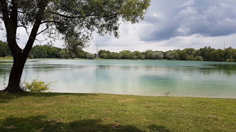
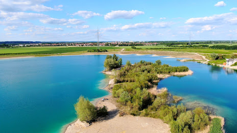
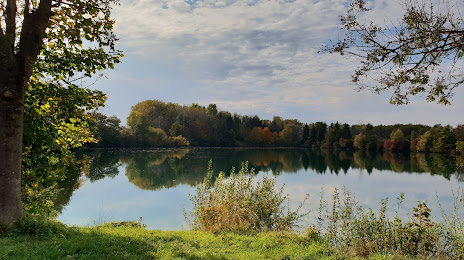
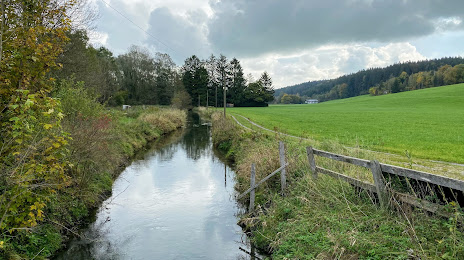
Attractions


Distance to the capital
Distance to the capital (Berlin) is about — 489 km.