 La Paz
Celaya
Mazatlán
Culiacán Rosales
Mexicali
Jiutepec
Tampico
Topolobampo
Tuxpan
Guanajuato
Zapopan
Chapultepec
Naucalpan
Cuautitlán Izcalli
Tabasco
San Jerónimo
Mexico City
Aguascalientes
Mina
La Paz
Celaya
Mazatlán
Culiacán Rosales
Mexicali
Jiutepec
Tampico
Topolobampo
Tuxpan
Guanajuato
Zapopan
Chapultepec
Naucalpan
Cuautitlán Izcalli
Tabasco
San Jerónimo
Mexico City
Aguascalientes
Mina
Reynosa on the map, Mexico
Where is located Reynosa
Exact location — Reynosa, Reynosa, Tamaulipas, Mexico, marked on the map with a red marker.
Coordinates
Reynosa, Mexico coordinates in decimal format: latitude — 26.092222, longitude — -98.277778. When converted to degrees, minutes, seconds Reynosa has the following coordinates: 26°5′32 north latitude and -98°16′40 east longitude.
Population
Reynosa, Reynosa, Tamaulipas, Mexico, according to our data the population is — 498,670 residents, which is about 0.4% of the total population of the country (Mexico).
Comparison of the population on the graph:
Exact time
Time zone for this location Reynosa — UTC -5 America/Chicago. Exact time — tuesday, 4 april 2024 year, 12 h. 14 minutes.
Sunrise and sunset
Reynosa, sunrise and sunset data for a date — tuesday 23.04.2024.
| Sunrise | Sunset | Day (duration) |
|---|---|---|
| 07:04 -1 minute | 19:58 +1 minute | 12 h. 54 minutes. +2 minutes |
You can control the scale of the map using the auxiliary tools to find out exactly where it is located Reynosa. When you change the scale of the map, the width of the ruler also changes (in kilometers and miles).
Nearby cities
The largest cities that are located nearby:
- McAllen
 (United States) — 13 km
 - Brownsville (United States) — 80 km
- Matamoros — 81 km
- Apodaca — 193 km
- Nuevo Laredo — 198 km
- Laredo (United States) — 198 km
- Guadalupe — 203 km
- San Nicolas de los Garza — 204 km
- General Escobedo — 206 km
- Corpus Christi (United States) — 208 km
- Monterrey — 208 km
- San Pedro Garza García — 217 km
- Santa Catarina — 223 km
- Ciudad Victoria — 275 km
- Saltillo — 281 km
- Monclova — 323 km
- Piedras Negras — 361 km
- San Antonio (United States) — 369 km
- Ciudad Madero — 427 km
Distance to neighboring capitals:
- Belmopan
 (Belize) — 1389 km
 - Guatemala City
 (Guatemala) — 1510 km
 - Tegucigalpa
 (Honduras) — 1764 km
 - Washington (United States) — 2440 km
- Ottawa
 (Canada) — 2942 km
 - Saint John
 (Puerto Rico) — 3408 km
 - Belgrade
 (Serbia) — 9988 km
 - Podgorica
 (Montenegro) — 10072 km
 - Hagåtña
 (Guam) — 11910 km
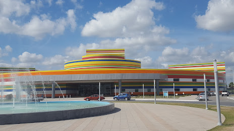
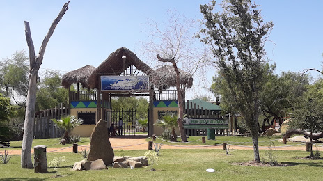
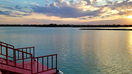
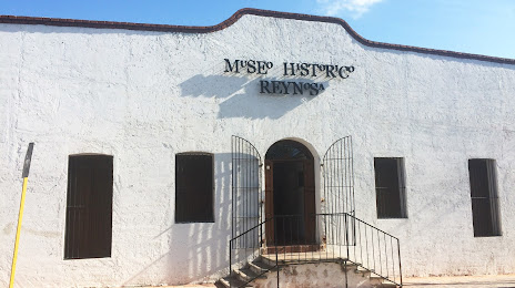
Attractions

Distance to the capital
Distance to the capital (Washington) is about — 2440 km.