 Tampico
Topolobampo
Tuxpan
Guadalupe
Puerto Vallarta
Potosí
Tepic
Jalpa
Santiago
Mexico City
Córdoba
Morelia
Allende
La Partida
Ocosingo
Guanajuato
Zapopan
Chapultepec
Naucalpan
Tampico
Topolobampo
Tuxpan
Guadalupe
Puerto Vallarta
Potosí
Tepic
Jalpa
Santiago
Mexico City
Córdoba
Morelia
Allende
La Partida
Ocosingo
Guanajuato
Zapopan
Chapultepec
Naucalpan
Villahermosa on the map, Mexico
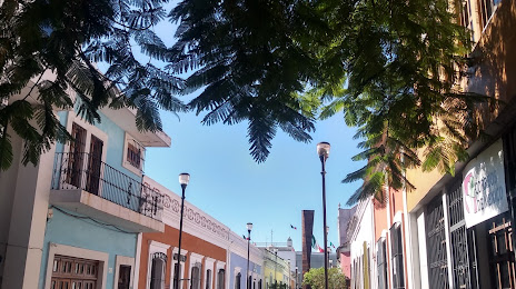
Where is located Villahermosa
Exact location — Villahermosa, Centro Municipality, Tabasco, Mexico, marked on the map with a red marker.
Coordinates
Villahermosa, Mexico coordinates in decimal format: latitude — 17.989456, longitude — -92.9475061. When converted to degrees, minutes, seconds Villahermosa has the following coordinates: 17°59′22.04 north latitude and -92°56′51.02 east longitude.
Population
Villahermosa, Centro Municipality, Tabasco, Mexico, according to our data the population is — 362,416 residents, which is about 0.3% of the total population of the country (Mexico).
Comparison of the population on the graph:
Exact time
Time zone for this location Villahermosa — UTC -6 America/Mexico_City. Exact time — thursday, 4 april 2024 year, 17 h. 25 minutes.
Sunrise and sunset
Villahermosa, sunrise and sunset data for a date — thursday 18.04.2024.
| Sunrise | Sunset | Day (duration) |
|---|---|---|
| 05:55 -0 minutes | 18:26 -0 minutes | 12 h. 30 minutes. -0 minutes |
You can control the scale of the map using the auxiliary tools to find out exactly where it is located Villahermosa. When you change the scale of the map, the width of the ruler also changes (in kilometers and miles).
Nearby cities
The largest cities that are located nearby:
- Tuxtla Gutiérrez — 138 km
- Ciudad del Carmen — 140 km
- San Cristóbal de las Casas — 142 km
- Coatzacoalcos — 160 km
- Minatitlán — 169 km
- Campeche — 323 km
- Tapachula — 349 km
- Quetzaltenango
 (Guatemala) — 381 km
 - Oaxaca — 412 km
- Córdoba — 428 km
- San Juan Sacatepéquez (Guatemala) — 438 km
- Orizaba — 445 km
- Xalapa — 447 km
- Guatemala City (Guatemala) — 454 km
- Villa Nueva (Guatemala) — 459 km
- Villa Canales (Guatemala) — 468 km
- Escuintla (Guatemala) — 469 km
- Tehuacán — 470 km
- Merida — 478 km
Distance to neighboring capitals:
- Belmopan
 (Belize) — 451 km
 - Guatemala City (Guatemala) — 455 km
- Tegucigalpa
 (Honduras) — 751 km
 - Washington
 (United States) — 2789 km
 - Saint John
 (Puerto Rico) — 2834 km
 - Ottawa
 (Canada) — 3444 km
 - Belgrade
 (Serbia) — 10332 km
 - Podgorica
 (Montenegro) — 10373 km
 - Hagåtña
 (Guam) — 12789 km
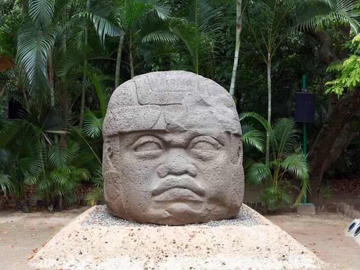
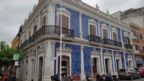
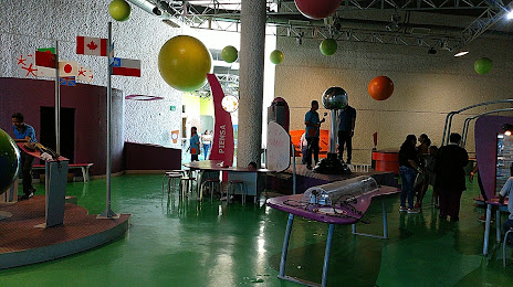
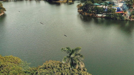
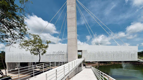
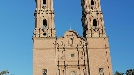
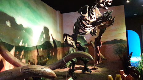
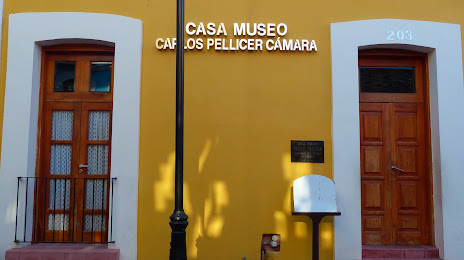
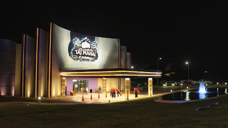
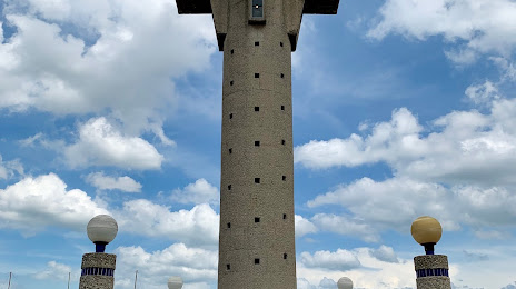
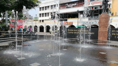
Attractions


Distance to the capital
Distance to the capital (Mexico City) is about — 671 km.