 Cuitzeo
Zimapan
Ramos Arizpe
Chapala
Atotonilco El Alto
Orizaba
Pachuca
Irapuato
Cuautitlan
Tuxtla Gutiérrez
Toluca
Salamanca
Acapulco
Verdes
Reynosa
San José del Cabo
Hermosillo
Huixquilucan de Degollado
Tlaquepaque
Cuitzeo
Zimapan
Ramos Arizpe
Chapala
Atotonilco El Alto
Orizaba
Pachuca
Irapuato
Cuautitlan
Tuxtla Gutiérrez
Toluca
Salamanca
Acapulco
Verdes
Reynosa
San José del Cabo
Hermosillo
Huixquilucan de Degollado
Tlaquepaque
Mexicali on the map, Mexico
Where is located Mexicali
Exact location — Mexicali, Mexicali, Baja California, Mexico, marked on the map with a red marker.
Coordinates
Mexicali, Mexico coordinates in decimal format: latitude — 32.6245389, longitude — -115.4522623. When converted to degrees, minutes, seconds Mexicali has the following coordinates: 32°37′28.34 north latitude and -115°27′8.14 east longitude.
Population
Mexicali, Mexicali, Baja California, Mexico, according to our data the population is — 597,124 residents, which is about 0.5% of the total population of the country (Mexico).
Comparison of the population on the graph:
Exact time
Time zone for this location Mexicali — UTC -7 America/Tijuana. Exact time — tuesday, 4 april 2024 year, 12 h. 36 minutes.
Sunrise and sunset
Mexicali, sunrise and sunset data for a date — tuesday 23.04.2024.
| Sunrise | Sunset | Day (duration) |
|---|---|---|
| 06:04 -2 minutes | 19:15 +1 minute | 13 h. 12 minutes. +3 minutes |
You can control the scale of the map using the auxiliary tools to find out exactly where it is located Mexicali. When you change the scale of the map, the width of the ruler also changes (in kilometers and miles).
Nearby cities
The largest cities that are located nearby:
- San Luis Río Colorado — 66 km
- Ensenada — 138 km
- Tijuana — 148 km
- Chula Vista
 (United States) — 152 km
 - San Diego (United States) — 159 km
- Escondido (United States) — 161 km
- Oceanside (United States) — 189 km
- Moreno Valley (United States) — 219 km
- Riverside (United States) — 231 km
- San Bernardino (United States) — 235 km
- Corona (United States) — 238 km
- Rialto (United States) — 240 km
- Fontana (United States) — 244 km
- Irvine (United States) — 245 km
- Costa Mesa (United States) — 253 km
- Santa Ana (United States) — 254 km
- Orange (United States) — 255 km
- Rancho Cucamonga (United States) — 255 km
- Ontario (United States) — 257 km
Distance to neighboring capitals:
- Belmopan
 (Belize) — 3174 km
 - Guatemala City
 (Guatemala) — 3219 km
 - Washington (United States) — 3510 km
- Tegucigalpa
 (Honduras) — 3525 km
 - Ottawa
 (Canada) — 3673 km
 - Saint John
 (Puerto Rico) — 5147 km
 - Hagåtña
 (Guam) — 10098 km
 - Belgrade
 (Serbia) — 10326 km
 - Podgorica
 (Montenegro) — 10479 km
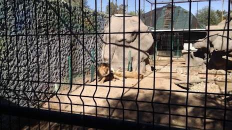
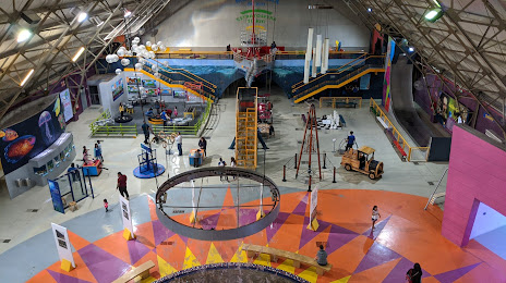
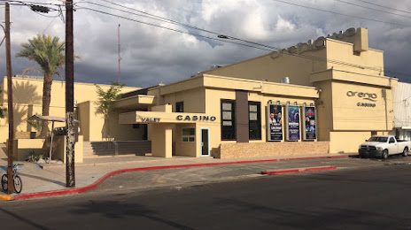
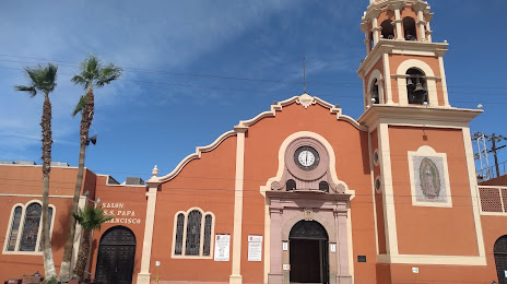
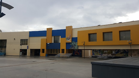
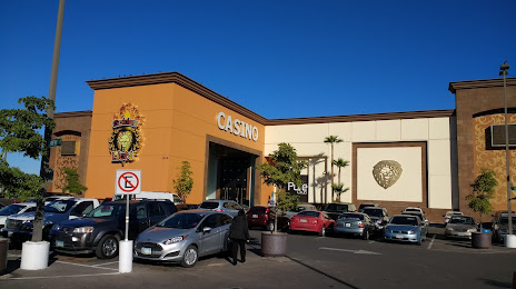
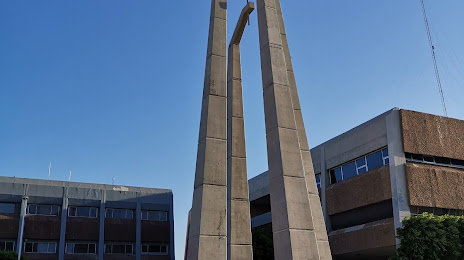
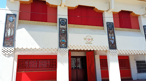
Attractions


Distance to the capital
Distance to the capital (Mexico City) is about — 2188 km.