 Chalk
Sunbury
DeKalb County
Ardon
Troy
Orlando International Airport
Red Lake
Agua Dulce
Zenobia
Riverdale
Tierra Buena
Story
Sierra Blanca
Yava
Santa Anna
Delta
Halifax
Humboldt
Edwards County
Chalk
Sunbury
DeKalb County
Ardon
Troy
Orlando International Airport
Red Lake
Agua Dulce
Zenobia
Riverdale
Tierra Buena
Story
Sierra Blanca
Yava
Santa Anna
Delta
Halifax
Humboldt
Edwards County
The Woodlands on the map, United States
Where is located The Woodlands
Exact location — The Woodlands, Montgomery County, Texas, United States, marked on the map with a red marker.
Coordinates
The Woodlands, United States coordinates in decimal format: latitude — 30.1602025, longitude — -95.4726613. When converted to degrees, minutes, seconds The Woodlands has the following coordinates: 30°9′36.73 north latitude and -95°28′21.58 east longitude.
Population
The Woodlands, Montgomery County, Texas, United States, according to our data the population is — 93,847 residents, which is about 0% of the total population of the country (United States).
Comparison of the population on the graph:
Exact time
Time zone for this location The Woodlands — UTC -5 America/Chicago. Exact time — tuesday, 4 april 2024 year, 15 h. 18 minutes.
Sunrise and sunset
The Woodlands, sunrise and sunset data for a date — tuesday 16.04.2024.
| Sunrise | Sunset | Day (duration) |
|---|---|---|
| 06:55 -1 minute | 19:47 +1 minute | 12 h. 54 minutes. +2 minutes |
You can control the scale of the map using the auxiliary tools to find out exactly where it is located The Woodlands. When you change the scale of the map, the width of the ruler also changes (in kilometers and miles).
Nearby cities
The largest cities that are located nearby:
- Houston — 45 km
- Beaumont — 129 km
- Austin — 217 km
- Waco — 220 km
- Killeen — 238 km
- San Antonio — 302 km
- Mesquite — 307 km
- Shreveport — 307 km
- Dallas — 314 km
- Grand Prairie — 319 km
- Corpus Christi — 322 km
- Arlington — 323 km
- Garland — 323 km
- Irving — 324 km
- Richardson — 330 km
- Lafayette — 330 km
- Fort Worth — 335 km
- Plano — 336 km
- Carrollton — 338 km
Distance to neighboring capitals:
- Mexico City
 (Mexico) — 1249 km
 - Belmopan
 (Belize) — 1589 km
 - Guatemala City
 (Guatemala) — 1802 km
 - Ottawa
 (Canada) — 2417 km
 - Nuuk
 (Greenland) — 4847 km
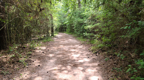
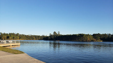
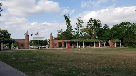
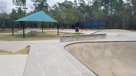
Attractions


Distance to the capital
Distance to the capital (Washington) is about — 1944 km.