 Pachuca
Irapuato
Cuautitlan
Ameca
Boca del Río
Tehuacán
Metepec
Ecatepec
Ciudad Obregón
Matamoros
Torreón
Cuernavaca
Coatzacoalcos
Xalapa
Villahermosa
Tuxtla Gutiérrez
Toluca
Salamanca
Acapulco
Pachuca
Irapuato
Cuautitlan
Ameca
Boca del Río
Tehuacán
Metepec
Ecatepec
Ciudad Obregón
Matamoros
Torreón
Cuernavaca
Coatzacoalcos
Xalapa
Villahermosa
Tuxtla Gutiérrez
Toluca
Salamanca
Acapulco
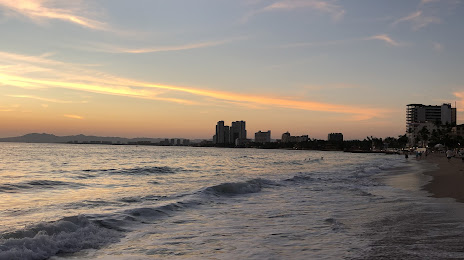
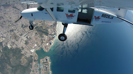
Puerto Vallarta on the map, Mexico
Where is located Puerto Vallarta
Exact location — Puerto Vallarta, Puerto Vallarta, Jalisco, Mexico, marked on the map with a red marker.
Coordinates
Puerto Vallarta, Mexico coordinates in decimal format: latitude — 20.653407, longitude — -105.2253316. When converted to degrees, minutes, seconds Puerto Vallarta has the following coordinates: 20°39′12.27 north latitude and -105°13′31.19 east longitude.
Population
Puerto Vallarta, Puerto Vallarta, Jalisco, Mexico, according to our data the population is — 187,143 residents, which is about 0.1% of the total population of the country (Mexico).
Comparison of the population on the graph:
Exact time
Time zone for this location Puerto Vallarta — UTC -6 America/Mexico_City. Exact time — thursday, 4 april 2024 year, 15 h. 29 minutes.
Sunrise and sunset
Puerto Vallarta, sunrise and sunset data for a date — thursday 18.04.2024.
| Sunrise | Sunset | Day (duration) |
|---|---|---|
| 06:41 -1 minute | 19:18 -0 minutes | 12 h. 36 minutes. +1 minute |
You can control the scale of the map using the auxiliary tools to find out exactly where it is located Puerto Vallarta. When you change the scale of the map, the width of the ruler also changes (in kilometers and miles).
Nearby cities
The largest cities that are located nearby:
- Tepic — 100 km
- Zapopan — 187 km
- Manzanillo — 194 km
- Guadalajara — 194 km
- Tlaquepaque — 198 km
- Tonalá — 205 km
- Colima — 221 km
- Mazatlán — 311 km
- Zamora — 314 km
- Aguascalientes — 330 km
- Zacatecas — 357 km
- Uruapan — 359 km
- Fresnillo — 368 km
- León — 369 km
- Durango — 378 km
- Irapuato — 400 km
- Salamanca — 417 km
- Morelia — 432 km
- Celaya — 457 km
Distance to neighboring capitals:
- Guatemala City
 (Guatemala) — 1695 km
 - Belmopan
 (Belize) — 1771 km
 - Tegucigalpa
 (Honduras) — 2045 km
 - Washington
 (United States) — 3371 km
 - Ottawa
 (Canada) — 3853 km
 - Saint John
 (Puerto Rico) — 4098 km
 - Belgrade
 (Serbia) — 10898 km
 - Podgorica
 (Montenegro) — 10989 km
 - Hagåtña
 (Guam) — 11486 km
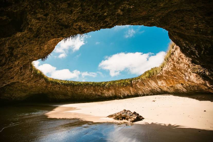
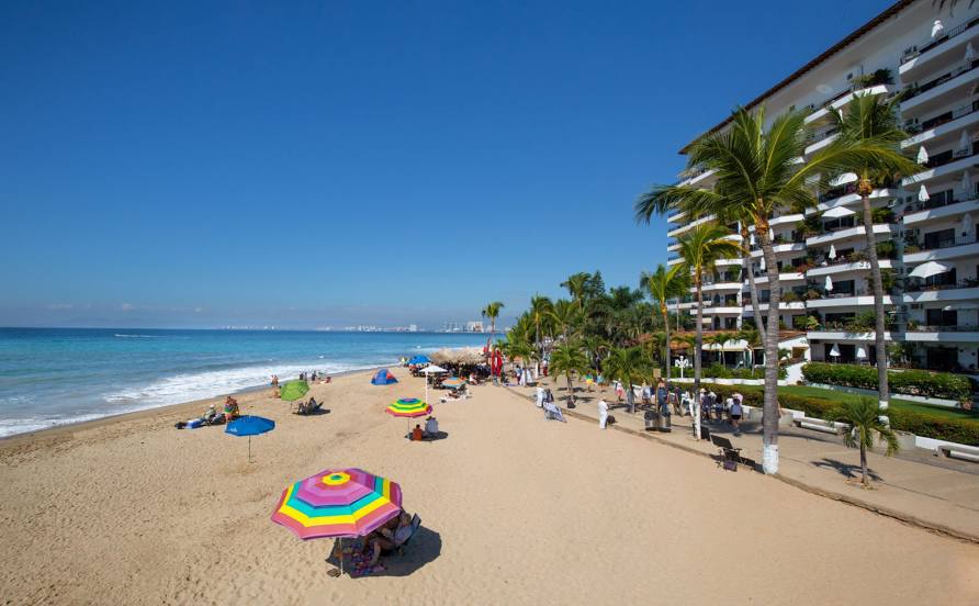
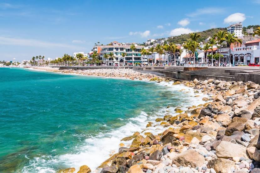
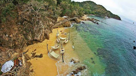
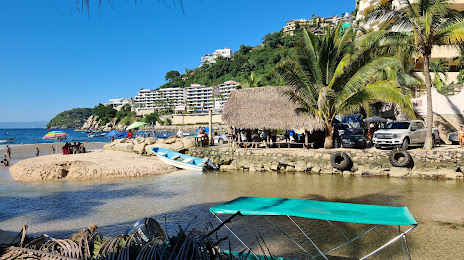
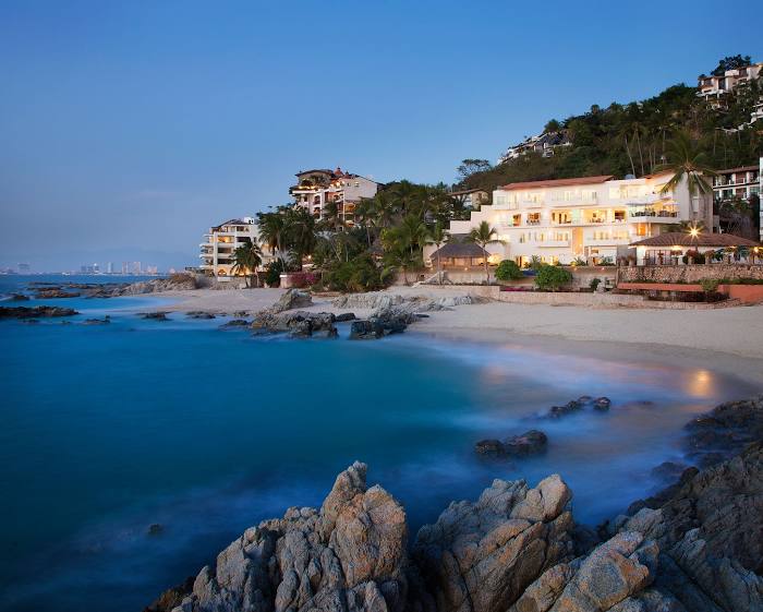
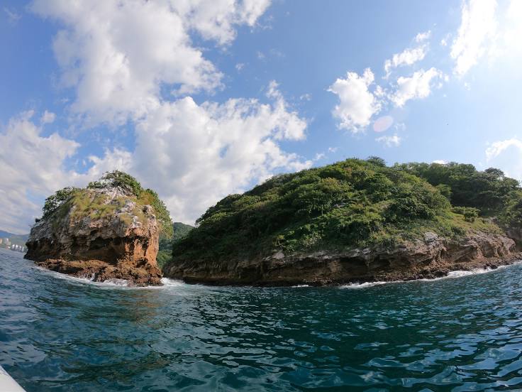
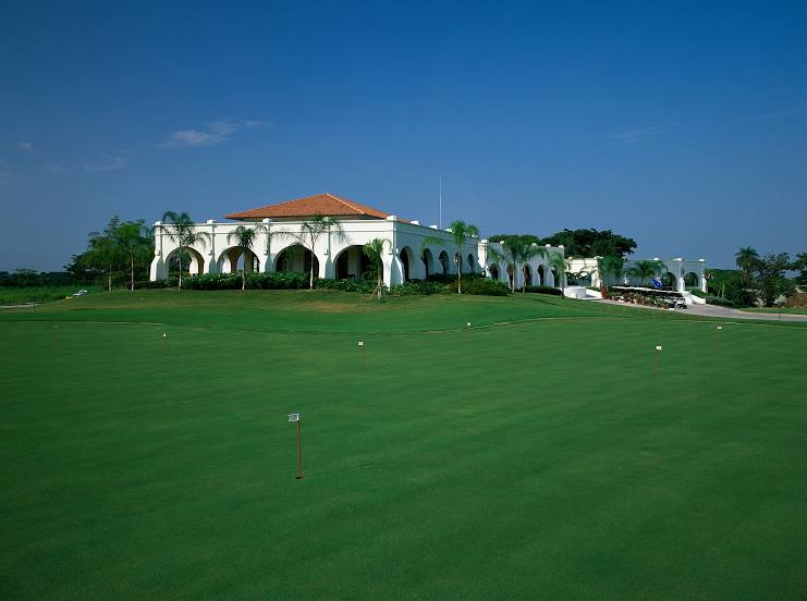
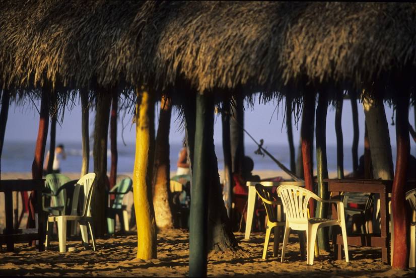
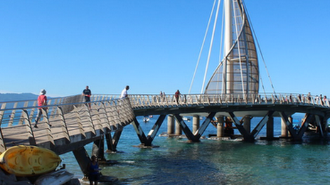
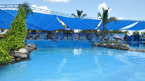
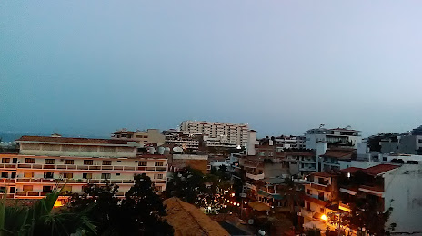
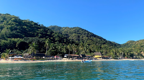
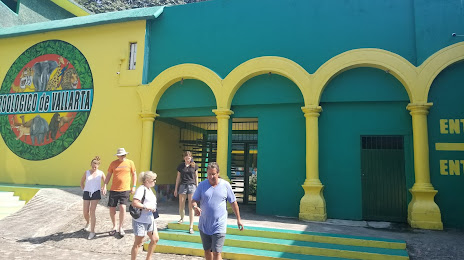
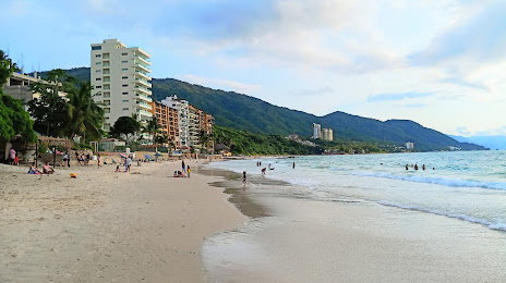
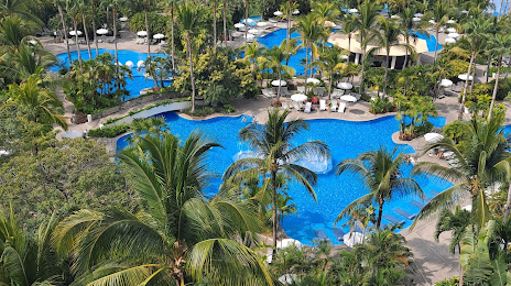
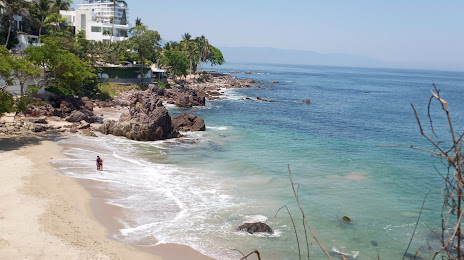
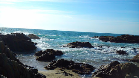
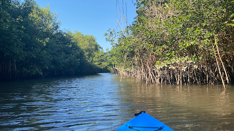
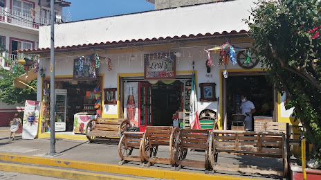
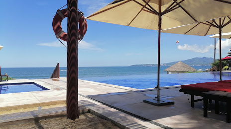
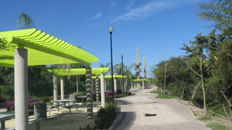
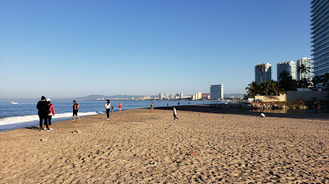
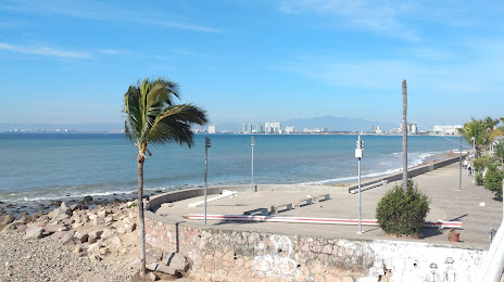
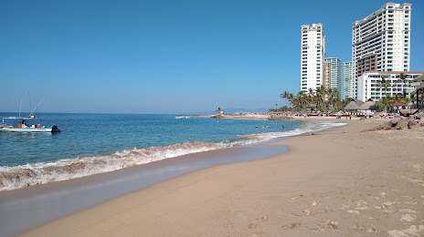
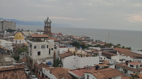
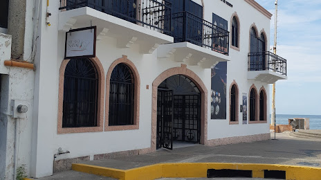
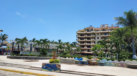
Attractions


Distance to the capital
Distance to the capital (Mexico City) is about — 651 km.