 Chalco de Díaz Covarrubias
Santa Catarina
Lerdo
Campos
Puente de Ixtla
Teziutlán
Merida
Naranjos
Salvatierra
Tuxpan
Topolobampo
Tampico
Jiutepec
Mexicali
Culiacán Rosales
Mazatlán
Celaya
La Paz
Matamoros
Chalco de Díaz Covarrubias
Santa Catarina
Lerdo
Campos
Puente de Ixtla
Teziutlán
Merida
Naranjos
Salvatierra
Tuxpan
Topolobampo
Tampico
Jiutepec
Mexicali
Culiacán Rosales
Mazatlán
Celaya
La Paz
Matamoros
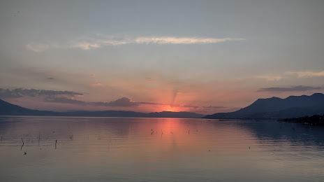
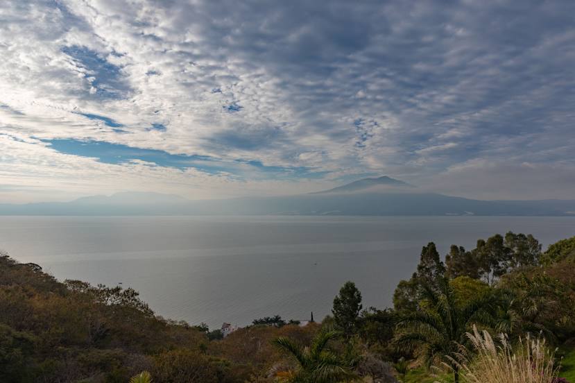
Chapala on the map, Mexico
Where is located Chapala
Exact location — Chapala, Chapala, Jalisco, Mexico, marked on the map with a red marker.
Coordinates
Chapala, Mexico coordinates in decimal format: latitude — 20.3051576, longitude — -103.1846016. When converted to degrees, minutes, seconds Chapala has the following coordinates: 20°18′18.57 north latitude and -103°11′4.57 east longitude.
Population
Chapala, Chapala, Jalisco, Mexico, according to our data the population is — 20,323 residents, which is about 0% of the total population of the country (Mexico).
Comparison of the population on the graph:
Exact time
Time zone for this location Chapala — UTC -6 America/Mexico_City. Exact time — thursday, 4 april 2024 year, 20 h. 09 minutes.
Sunrise and sunset
Chapala, sunrise and sunset data for a date — thursday 18.04.2024.
| Sunrise | Sunset | Day (duration) |
|---|---|---|
| 06:33 -1 minute | 19:09 -0 minutes | 12 h. 36 minutes. +1 minute |
You can control the scale of the map using the auxiliary tools to find out exactly where it is located Chapala. When you change the scale of the map, the width of the ruler also changes (in kilometers and miles).
Nearby cities
The largest cities that are located nearby:
- Tonalá — 36 km
- Tlaquepaque — 39 km
- Guadalajara — 43 km
- Zapopan — 47 km
- Zamora — 100 km
- Colima — 130 km
- Uruapan — 155 km
- Manzanillo — 179 km
- León — 179 km
- Irapuato — 194 km
- Aguascalientes — 197 km
- Salamanca — 208 km
- Puerto Vallarta — 215 km
- Morelia — 217 km
- Tepic — 220 km
- Celaya — 247 km
- Zacatecas — 279 km
- Santiago de Querétaro — 291 km
- San Luis Potosi — 304 km
Distance to neighboring capitals:
- Guatemala City
 (Guatemala) — 1483 km
 - Belmopan
 (Belize) — 1555 km
 - Tegucigalpa
 (Honduras) — 1831 km
 - Washington
 (United States) — 3246 km
 - Ottawa
 (Canada) — 3758 km
 - Saint John
 (Puerto Rico) — 3888 km
 - Belgrade
 (Serbia) — 10804 km
 - Podgorica
 (Montenegro) — 10887 km
 - Hagåtña
 (Guam) — 11698 km
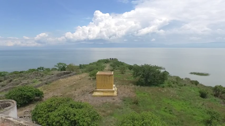
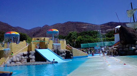
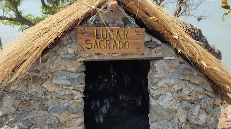
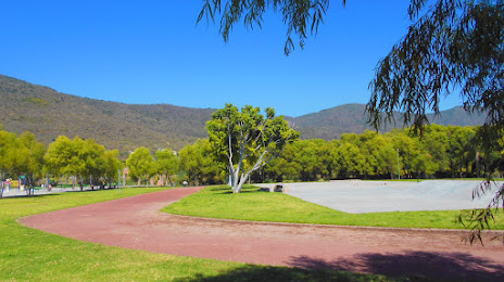
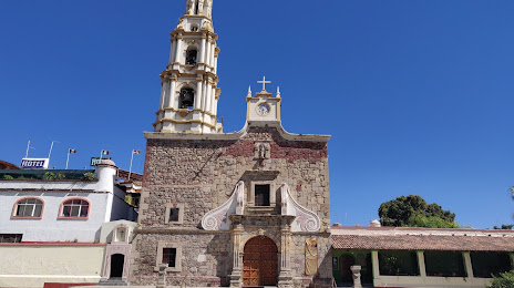
Attractions

Distance to the capital
Distance to the capital (Mexico City) is about — 435 km.