 Tula
Ciudad del Carmen
Montemorelos
Santa Ana
Ciudad Nezahualcóyotl
Ocoyoacac
Cuautla
San Luis Potosi
San Cristóbal
Atotonilco El Alto
Chapala
Ramos Arizpe
Zimapan
Cuitzeo
Apodaca
Santiago
Jalpa
Tepic
Potosí
Tula
Ciudad del Carmen
Montemorelos
Santa Ana
Ciudad Nezahualcóyotl
Ocoyoacac
Cuautla
San Luis Potosi
San Cristóbal
Atotonilco El Alto
Chapala
Ramos Arizpe
Zimapan
Cuitzeo
Apodaca
Santiago
Jalpa
Tepic
Potosí
Chalco de Díaz Covarrubias on the map, Mexico
Where is located Chalco de Díaz Covarrubias
Exact location — Chalco de Díaz Covarrubias, Chalco, State of Mexico, Mexico, marked on the map with a red marker.
Coordinates
Chalco de Díaz Covarrubias, Mexico coordinates in decimal format: latitude — 19.264722, longitude — -98.8975. When converted to degrees, minutes, seconds Chalco de Díaz Covarrubias has the following coordinates: 19°15′53 north latitude and -98°53′51 east longitude.
Population
Chalco de Díaz Covarrubias, Chalco, State of Mexico, Mexico, according to our data the population is — 163,996 residents, which is about 0.1% of the total population of the country (Mexico).
Comparison of the population on the graph:
Exact time
Time zone for this location Chalco de Díaz Covarrubias — UTC -6 America/Mexico_City. Exact time — wednesday, 4 april 2024 year, 17 h. 49 minutes.
Sunrise and sunset
Chalco de Díaz Covarrubias, sunrise and sunset data for a date — wednesday 24.04.2024.
| Sunrise | Sunset | Day (duration) |
|---|---|---|
| 06:13 -1 minute | 18:53 -0 minutes | 12 h. 42 minutes. +1 minute |
You can control the scale of the map using the auxiliary tools to find out exactly where it is located Chalco de Díaz Covarrubias. When you change the scale of the map, the width of the ruler also changes (in kilometers and miles).
Nearby cities
The largest cities that are located nearby:
- Ixtapaluca — 5 km
- Ciudad Nezahualcóyotl — 18 km
- Chimalhuacan — 19 km
- Texcoco — 27 km
- Ecatepec — 41 km
- Naucalpan — 43 km
- Tlalnepantla — 43 km
- Coacalco — 46 km
- Buenavista — 47 km
- Ojo de Agua — 48 km
- Ciudad López Mateos — 50 km
- Cuautla — 50 km
- Cuernavaca — 51 km
- Jiutepec — 52 km
- Cuautitlán Izcalli — 56 km
- Metepec — 73 km
- Puebla — 76 km
- Toluca — 79 km
- Pachuca — 94 km
Distance to neighboring capitals:
- Guatemala City
 (Guatemala) — 1029 km
 - Belmopan
 (Belize) — 1093 km
 - Tegucigalpa
 (Honduras) — 1371 km
 - Washington
 (United States) — 3031 km
 - Saint John
 (Puerto Rico) — 3447 km
 - Ottawa
 (Canada) — 3608 km
 - Belgrade
 (Serbia) — 10623 km
 - Podgorica
 (Montenegro) — 10688 km
 - Hagåtña
 (Guam) — 12158 km
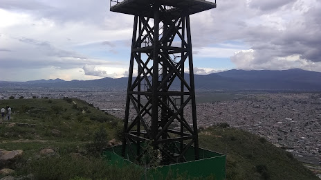
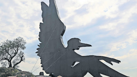
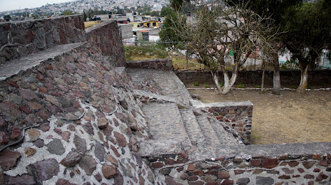
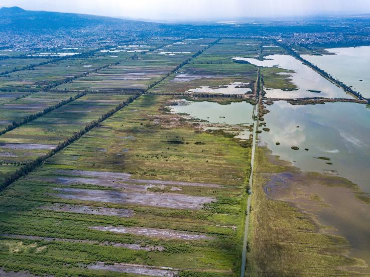
Attractions
Distance to the capital
Distance to the capital (Mexico City) is about — 31 km.