
 Santa Marta
Armenia
Chia
Mosquera
Fusagasuga
Pamplona
Sincelejo
Soledad
Facatativá
Pereira
Cartagena
San Francisco
Bogota
Santa Marta
Armenia
Chia
Mosquera
Fusagasuga
Pamplona
Sincelejo
Soledad
Facatativá
Pereira
Cartagena
San Francisco
Bogota
Manizales on the map, Colombia
Where is located Manizales
Exact location — Manizales, Caldas, Colombia, marked on the map with a red marker.
Coordinates
Manizales, Colombia coordinates in decimal format: latitude — 5.067132, longitude — -75.518288. When converted to degrees, minutes, seconds Manizales has the following coordinates: 5°4′1.68 north latitude and -75°31′5.84 east longitude.
Population
Manizales, Caldas, Colombia, according to our data the population is — 357,819 residents, which is about 0.7% of the total population of the country (Colombia).
Comparison of the population on the graph:
Exact time
Time zone for this location Manizales — UTC -5 America/Bogota. Exact time — thursday, 4 april 2024 year, 19 h. 23 minutes.
Sunrise and sunset
Manizales, sunrise and sunset data for a date — thursday 18.04.2024.
| Sunrise | Sunset | Day (duration) |
|---|---|---|
| 05:56 -0 minutes | 18:06 -0 minutes | 12 h. 12 minutes. -0 minutes |
You can control the scale of the map using the auxiliary tools to find out exactly where it is located Manizales. When you change the scale of the map, the width of the ruler also changes (in kilometers and miles).
Nearby cities
The largest cities that are located nearby:
- Dos Quebradas — 30 km
- Pereira — 34 km
- Cartago — 56 km
- Armenia — 62 km
- Ibagué — 76 km
- Girardot — 116 km
- Itagüi — 122 km
- Envigado — 123 km
- Tuluá — 132 km
- Medellín — 133 km
- Bello — 140 km
- Soacha — 153 km
- Buga — 155 km
- Palmira — 190 km
- Cali — 211 km
- Buenaventura — 216 km
- Villavicencio — 232 km
- Neiva — 238 km
- Tunja — 245 km
Distance to neighboring capitals:
- Panama
 (Panama) — 620 km
 - Quito
 (Ecuador) — 669 km
 - San Jose
 (Costa Rica) — 1089 km
 - Caracas
 (Venezuela) — 1123 km
 - Georgetown
 (Guyana) — 1929 km
 - Nuestra Señora de La Paz
 (Bolivia) — 2532 km
 - Asuncion
 (Paraguay) — 3891 km
 - Santiago
 (Chile) — 4313 km
 - Buenos Aires
 (Argentina) — 4764 km
 - Montevideo
 (Uruguay) — 4886 km
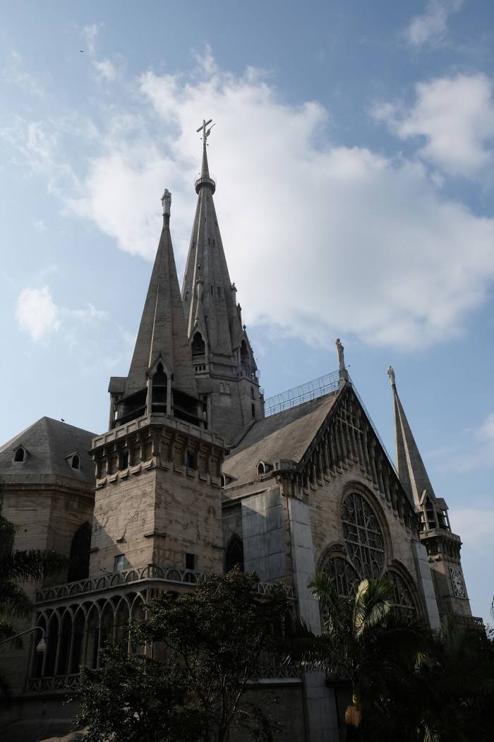
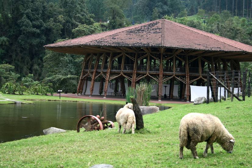
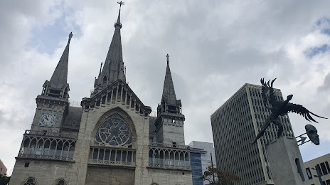
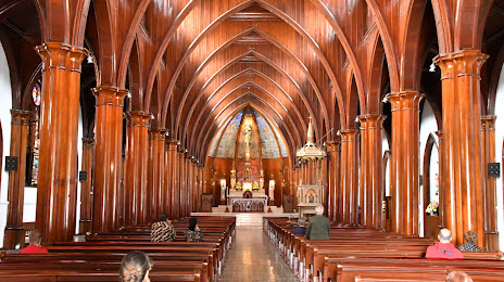
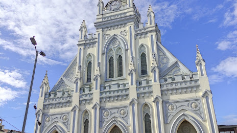
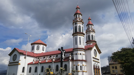
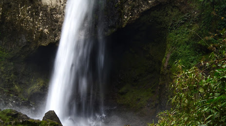
Attractions


Distance to the capital
Distance to the capital (Bogota) is about — 168 km.