 Manhasset
Fort Leonard Wood
Harrah
Luling
Yorkshire
Yoakum
High Rolls
Duce
Oak Park
Plaisance
Spence
Marineland
Dickinson
Louin
Downing
Unus
Albuquerque
Prairie City
Long Lake
Manhasset
Fort Leonard Wood
Harrah
Luling
Yorkshire
Yoakum
High Rolls
Duce
Oak Park
Plaisance
Spence
Marineland
Dickinson
Louin
Downing
Unus
Albuquerque
Prairie City
Long Lake
Dania Beach on the map, United States
Where is located Dania Beach
Exact location — Dania Beach, Broward County, Florida, United States, marked on the map with a red marker.
Coordinates
Dania Beach, United States coordinates in decimal format: latitude — 26.052311, longitude — -80.1439343. When converted to degrees, minutes, seconds Dania Beach has the following coordinates: 26°3′8.32 north latitude and -80°8′38.16 east longitude.
Population
Dania Beach, Broward County, Florida, United States, according to our data the population is — 29,639 residents, which is about 0% of the total population of the country (United States).
Comparison of the population on the graph:
Exact time
Time zone for this location Dania Beach — UTC -4 America/New_York. Exact time — friday, 4 april 2024 year, 18 h. 08 minutes.
Sunrise and sunset
Dania Beach, sunrise and sunset data for a date — friday 19.04.2024.
| Sunrise | Sunset | Day (duration) |
|---|---|---|
| 06:55 -1 minute | 19:43 -0 minutes | 12 h. 48 minutes. +1 minute |
You can control the scale of the map using the auxiliary tools to find out exactly where it is located Dania Beach. When you change the scale of the map, the width of the ruler also changes (in kilometers and miles).
Nearby cities
The largest cities that are located nearby:
- Hollywood — 5 km
- Fort Lauderdale — 8 km
- Pembroke Pines — 16 km
- Miramar — 17 km
- Hialeah — 25 km
- Coral Springs — 27 km
- Miami — 32 km
- Port Saint Lucie — 137 km
- Cape Coral — 187 km
- Brandon — 295 km
- Orlando — 300 km
- Nassau
 (The Bahamas) — 301 km
 - Tampa — 308 km
- Saint Petersburg — 310 km
- Clearwater — 335 km
- Matanzas
 (Cuba) — 363 km
 - Havana (Cuba) — 386 km
- Santa Clara (Cuba) — 402 km
- Gainesville — 450 km
Distance to neighboring capitals:
- Belmopan
 (Belize) — 1323 km
 - Guatemala City
 (Guatemala) — 1670 km
 - Mexico City
 (Mexico) — 2080 km
 - Ottawa
 (Canada) — 2191 km
 - Nuuk
 (Greenland) — 4705 km
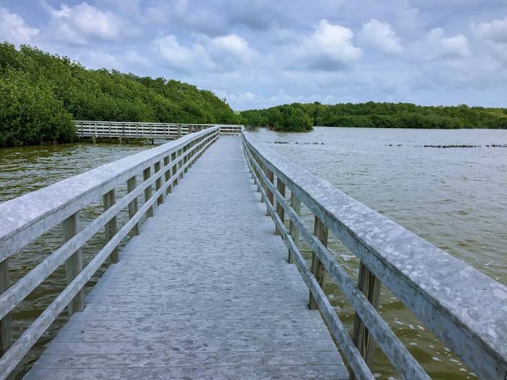
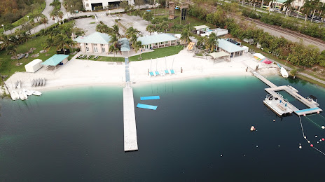
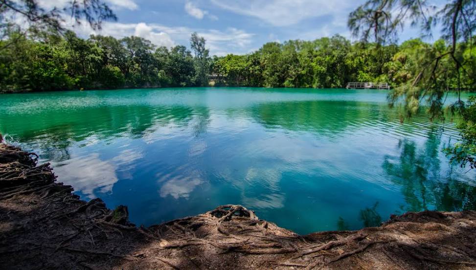
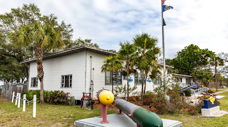
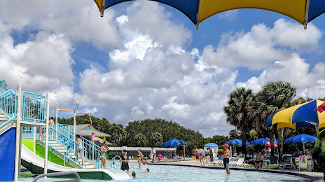
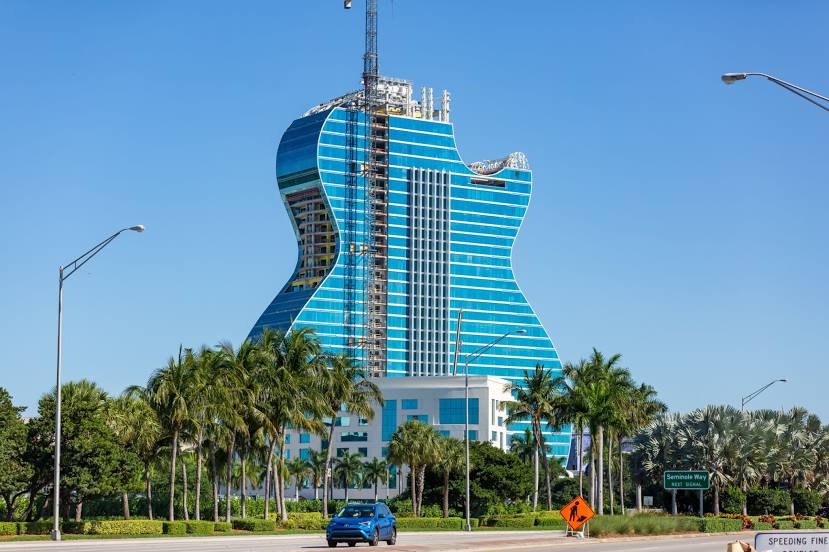
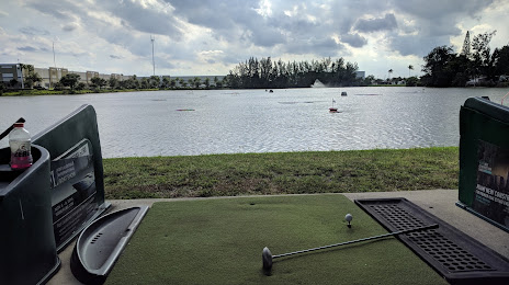
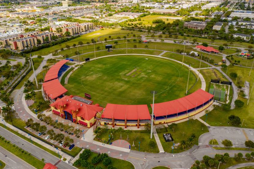
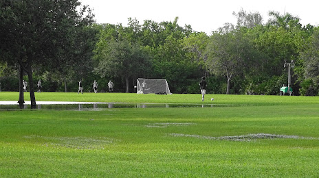
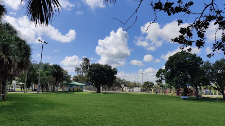
Attractions


Distance to the capital
Distance to the capital (Washington) is about — 1459 km.