 Seven Oaks
Giles County
Minneapolis
Albatross
Suval
Fall River
Ano
Catalina
Jasper
Luling
Harrah
Fort Leonard Wood
Manhasset
Loy Airport
Gay
Decatur
Williamsville
Elbow
Soso
Seven Oaks
Giles County
Minneapolis
Albatross
Suval
Fall River
Ano
Catalina
Jasper
Luling
Harrah
Fort Leonard Wood
Manhasset
Loy Airport
Gay
Decatur
Williamsville
Elbow
Soso
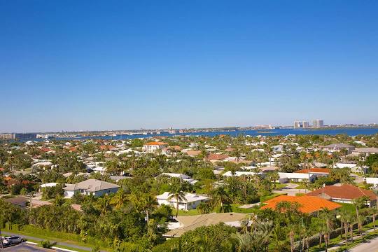
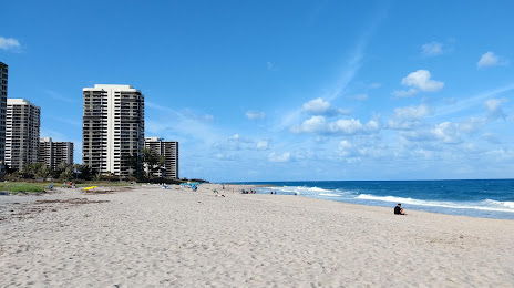
Riviera Beach on the map, United States
Where is located Riviera Beach
Exact location — Riviera Beach, Palm Beach County, Florida, United States, marked on the map with a red marker.
Coordinates
Riviera Beach, United States coordinates in decimal format: latitude — 26.7753405, longitude — -80.0580969. When converted to degrees, minutes, seconds Riviera Beach has the following coordinates: 26°46′31.23 north latitude and -80°3′29.15 east longitude.
Population
Riviera Beach, Palm Beach County, Florida, United States, according to our data the population is — 32,488 residents, which is about 0% of the total population of the country (United States).
Comparison of the population on the graph:
Exact time
Time zone for this location Riviera Beach — UTC -4 America/New_York. Exact time — saturday, 4 april 2024 year, 08 h. 48 minutes.
Sunrise and sunset
Riviera Beach, sunrise and sunset data for a date — saturday 20.04.2024.
| Sunrise | Sunset | Day (duration) |
|---|---|---|
| 06:53 -1 minute | 19:44 -0 minutes | 12 h. 54 minutes. +1 minute |
You can control the scale of the map using the auxiliary tools to find out exactly where it is located Riviera Beach. When you change the scale of the map, the width of the ruler also changes (in kilometers and miles).
Nearby cities
The largest cities that are located nearby:
- Coral Springs — 60 km
- Port Saint Lucie — 62 km
- Fort Lauderdale — 73 km
- Hollywood — 85 km
- Pembroke Pines — 88 km
- Miramar — 91 km
- Hialeah — 104 km
- Miami — 113 km
- Cape Coral — 189 km
- Orlando — 233 km
- Brandon — 253 km
- Tampa — 268 km
- Saint Petersburg — 276 km
- Clearwater — 298 km
- Nassau
 (The Bahamas) — 331 km
 - Gainesville — 385 km
- Jacksonville — 422 km
- Matanzas
 (Cuba) — 440 km
 - Havana (Cuba) — 459 km
Distance to neighboring capitals:
- Belmopan
 (Belize) — 1388 km
 - Guatemala City
 (Guatemala) — 1735 km
 - Ottawa
 (Canada) — 2110 km
 - Mexico City
 (Mexico) — 2112 km
 - Nuuk
 (Greenland) — 4626 km
Attractions
Distance to the capital
Distance to the capital (Washington) is about — 1378 km.