 San Lucas Sacatepéquez
San Carlos Alzatate
Chimaltenango
Cantel
Caserío Xetzitzí
San Sebastián
El Hawaii
Aldea Jumaytepeque
Santa Cruz Balanyá
Olopa
San Jacinto
Livingston
Cabanas
Cayuga
Telemán
Puerto Barrios Airport
Santa Eulalia
Quiché Department
San Martín Sacatepéquez
San Lucas Sacatepéquez
San Carlos Alzatate
Chimaltenango
Cantel
Caserío Xetzitzí
San Sebastián
El Hawaii
Aldea Jumaytepeque
Santa Cruz Balanyá
Olopa
San Jacinto
Livingston
Cabanas
Cayuga
Telemán
Puerto Barrios Airport
Santa Eulalia
Quiché Department
San Martín Sacatepéquez
Almolonga on the map, Guatemala
Where is located Almolonga
Exact location — Almolonga, Quetzaltenango Department, Guatemala, marked on the map with a red marker.
Coordinates
Almolonga, Guatemala coordinates in decimal format: latitude — 14.8143789, longitude — -91.4942426. When converted to degrees, minutes, seconds Almolonga has the following coordinates: 14°48′51.76 north latitude and -91°29′39.27 east longitude.
Population
Almolonga, Quetzaltenango Department, Guatemala, according to our data the population is — 11,913 residents, which is about 0.1% of the total population of the country (Guatemala).
Comparison of the population on the graph:
Exact time
Time zone for this location Almolonga — UTC -6 America/Guatemala. Exact time — thursday, 4 april 2024 year, 14 h. 17 minutes.
Sunrise and sunset
Almolonga, sunrise and sunset data for a date — thursday 25.04.2024.
| Sunrise | Sunset | Day (duration) |
|---|---|---|
| 05:48 -0 minutes | 18:19 -0 minutes | 12 h. 30 minutes. -0 minutes |
You can control the scale of the map using the auxiliary tools to find out exactly where it is located Almolonga. When you change the scale of the map, the width of the ruler also changes (in kilometers and miles).
Nearby cities
The largest cities that are located nearby:
- Quetzaltenango — 3 km
- Tapachula
 (Mexico) — 83 km
 - San Juan Sacatepéquez — 92 km
- Escuintla — 95 km
- Villa Nueva — 102 km
- Villa Canales — 112 km
- Santa Ana
 (El Salvador) — 227 km
 - San Cristóbal de las Casas (Mexico) — 245 km
- Santa Tecla (El Salvador) — 268 km
- Apopa (El Salvador) — 272 km
- Mejicanos (El Salvador) — 273 km
- Tuxtla Gutiérrez (Mexico) — 274 km
- San Salvador (El Salvador) — 274 km
- Soyapango (El Salvador) — 281 km
- San Pedro Sula
 (Honduras) — 376 km
 - Villahermosa (Mexico) — 383 km
- San Miguel (El Salvador) — 386 km
- Choloma (Honduras) — 388 km
- El Progreso (Honduras) — 399 km
Distance to neighboring capitals:
- San Salvador (El Salvador) — 275 km
- Belmopan
 (Belize) — 398 km
 - Tegucigalpa (Honduras) — 468 km
- Managua
 (Nicaragua) — 640 km
 - Mexico City (Mexico) — 961 km
- Washington
 (United States) — 3030 km
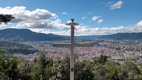
Attractions
Distance to the capital
Distance to the capital (Guatemala City) is about — 106 km.