 Cost
Bay City
Pella
Esther
Antelope
Bloomington
Bear Creek 3 Airport
Garfield
Numa
Boden
Ephraim
Washington
Shenandoah
Forest Park
Tri-Cities Airport
Canon
Chicago
Lyons
Queen Anne's County
Cost
Bay City
Pella
Esther
Antelope
Bloomington
Bear Creek 3 Airport
Garfield
Numa
Boden
Ephraim
Washington
Shenandoah
Forest Park
Tri-Cities Airport
Canon
Chicago
Lyons
Queen Anne's County
River Edge on the map, United States
Where is located River Edge
Exact location — River Edge, Bergen County, New Jersey, United States, marked on the map with a red marker.
Coordinates
River Edge, United States coordinates in decimal format: latitude — 40.9287098, longitude — -74.0398622. When converted to degrees, minutes, seconds River Edge has the following coordinates: 40°55′43.36 north latitude and -74°2′23.5 east longitude.
Exact time
Time zone for this location River Edge — UTC -4 America/New_York. Exact time — thursday, 4 april 2024 year, 01 h. 03 minutes.
Sunrise and sunset
River Edge, sunrise and sunset data for a date — thursday 25.04.2024.
| Sunrise | Sunset | Day (duration) |
|---|---|---|
| 06:04 -1 minute | 19:43 +1 minute | 13 h. 42 minutes. +2 minutes |
You can control the scale of the map using the auxiliary tools to find out exactly where it is located River Edge. When you change the scale of the map, the width of the ruler also changes (in kilometers and miles).
Nearby cities
The largest cities that are located nearby:
- Paterson — 11 km
- Yonkers — 12 km
- New York — 24 km
- Newark — 24 km
- Brooklyn — 26 km
- Elizabeth — 33 km
- Stamford — 44 km
- Edison — 55 km
- Bridgeport — 76 km
- New Haven — 101 km
- Waterbury — 107 km
- Toms River — 109 km
- Allentown — 127 km
- Philadelphia — 144 km
- Hartford — 145 km
- Springfield — 176 km
- Amherst — 201 km
- Worcester — 235 km
- Providence — 238 km
Distance to neighboring capitals:
- Ottawa
 (Canada) — 517 km
 - Nuuk
 (Greenland) — 2958 km
 - Belmopan
 (Belize) — 2987 km
 - Guatemala City
 (Guatemala) — 3334 km
 - Mexico City
 (Mexico) — 3373 km
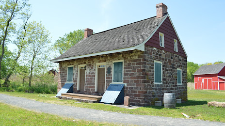
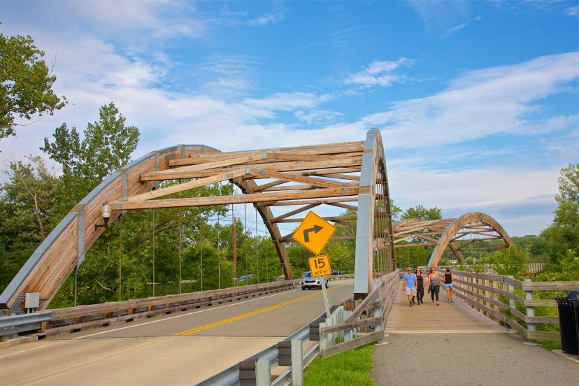
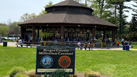
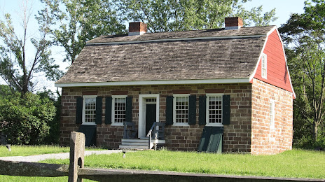
Attractions

Distance to the capital
Distance to the capital (Washington) is about — 340 km.