 Antelope
Bloomington
Bear Creek 3 Airport
Garfield
Numa
Ackley
Memmi Airport
Ute
Pratt
Huntertown
Diablo
Geyser
Olivia
Boden
Ephraim
Washington
Shenandoah
Forest Park
Tri-Cities Airport
Antelope
Bloomington
Bear Creek 3 Airport
Garfield
Numa
Ackley
Memmi Airport
Ute
Pratt
Huntertown
Diablo
Geyser
Olivia
Boden
Ephraim
Washington
Shenandoah
Forest Park
Tri-Cities Airport
Coconut Creek on the map, United States
Where is located Coconut Creek
Exact location — Coconut Creek, Broward County, Florida, United States, marked on the map with a red marker.
Coordinates
Coconut Creek, United States coordinates in decimal format: latitude — 26.2517482, longitude — -80.1789351. When converted to degrees, minutes, seconds Coconut Creek has the following coordinates: 26°15′6.29 north latitude and -80°10′44.17 east longitude.
Exact time
Time zone for this location Coconut Creek — UTC -4 America/New_York. Exact time — tuesday, 4 april 2024 year, 07 h. 02 minutes.
Sunrise and sunset
Coconut Creek, sunrise and sunset data for a date — tuesday 23.04.2024.
| Sunrise | Sunset | Day (duration) |
|---|---|---|
| 06:51 -1 minute | 19:46 +1 minute | 12 h. 54 minutes. +2 minutes |
You can control the scale of the map using the auxiliary tools to find out exactly where it is located Coconut Creek. When you change the scale of the map, the width of the ruler also changes (in kilometers and miles).
Nearby cities
The largest cities that are located nearby:
- Coral Springs — 9 km
- Fort Lauderdale — 15 km
- Hollywood — 27 km
- Pembroke Pines — 29 km
- Miramar — 32 km
- Hialeah — 45 km
- Miami — 54 km
- Port Saint Lucie — 114 km
- Cape Coral — 178 km
- Brandon — 278 km
- Orlando — 278 km
- Tampa — 291 km
- Saint Petersburg — 294 km
- Nassau
 (The Bahamas) — 313 km
 - Clearwater — 318 km
- Matanzas
 (Cuba) — 382 km
 - Havana (Cuba) — 403 km
- Santa Clara (Cuba) — 424 km
- Gainesville — 429 km
Distance to neighboring capitals:
- Belmopan
 (Belize) — 1337 km
 - Guatemala City
 (Guatemala) — 1684 km
 - Mexico City
 (Mexico) — 2083 km
 - Ottawa
 (Canada) — 2169 km
 - Nuuk
 (Greenland) — 4685 km
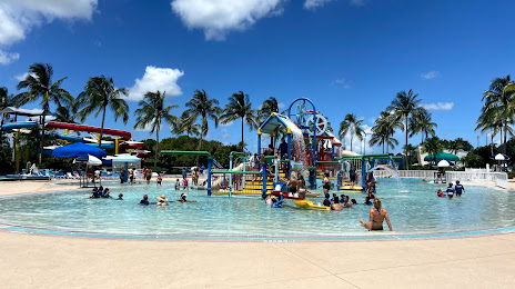
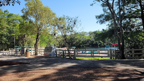
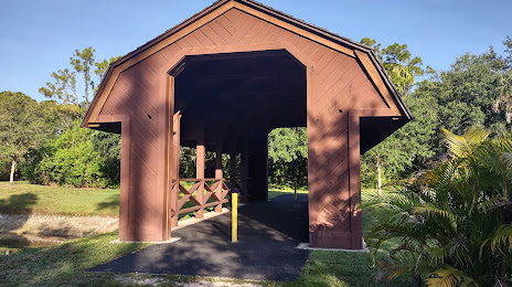
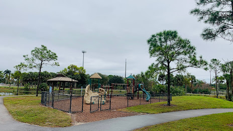
Attractions


Distance to the capital
Distance to the capital (Washington) is about — 1438 km.