Leopoldina — Juatuba
Leopoldina — Marco
Leopoldina — Balsa Nova
Leopoldina — Terra Roxa
Leopoldina — Jaboticatubas
Leopoldina — Santo Antônio da Patrulha
Leopoldina — Barra da Estiva
Leopoldina — Nova Timboteua
Leopoldina — Guará
Leopoldina — Itaguatins
Leopoldina — Jales
Leopoldina — Palmeira das Missões
Leopoldina — Santo Antônio de Jesus
Leopoldina — Olinda
Leopoldina — Miranorte
Leopoldina — Tumiritinga
Leopoldina — Boa Esperança do Sul
Leopoldina — Alto Bela Vista
Leopoldina — Quintão
Teresópolis
Guapimirim
Magé
Coriolano
Brazil
Queimados
Japeri
Seropédica
Mangaratiba
Conceicao de Jacareí
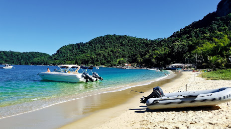
Leopoldina — Angra dos Reis distance, route on the map
Distance by car
Distance between Leopoldina, Minas Gerais, Brazil and Angra dos Reis, State of Rio de Janeiro, Brazil by car is — km, or miles. To travel this distance by car, you need minute, or h.
Route on the map, driving directions
Car route Leopoldina — Angra dos Reis was created automatically. The road on the map is shown as a blue line. By moving the markers, you can create a new route through the points you need.
Passing cities through which the car route passes: Além Paraíba, Teresópolis, Guapimirim, Magé, Coriolano, Brazil, Queimados, Japeri, Seropédica, Mangaratiba, Conceicao de Jacareí.
Distance by plane
If you decide to take a trip Leopoldina Angra dos Reis by plane, then you have to fly the distance — 238 km or 148 miles. It is marked on the map with a gray line (between two points in a straight line).
Flight time
Estimated flight time Leopoldina Angra dos Reis by plane at cruising speed 750 km / h will be — 19 min.
Direction of movement
Brazil, Leopoldina — right-hand traffic. Brazil, Angra dos Reis — right-hand traffic.
Difference in time
Leopoldina and Angra dos Reis are in the same time zone. Between them there is no time difference (UTC -3 America/Sao_Paulo).
Interesting Facts
Information on alternative ways to get to your destination.
The length of this distance is about 0.6% of the total length of the equator.
The percentage of the population is clearly shown in the graph:
Leopoldina — 46,743 (less by 106,894), Angra dos Reis — 153,637 residents.
The cost of travel
Calculate the cost of the trip yourself using the fuel consumption calculator, changing the data in the table.