 Stratton
Quality
Clicks
Dane County
New Kingston
Brooklyn
Chestertown
Nebo
Hickory Creek
Princeton
Dallas
Summerfield
Summerfield
Red Dog Mine
Sheridan
Dayton
Butts
Schloredt Airport
Lyden
Stratton
Quality
Clicks
Dane County
New Kingston
Brooklyn
Chestertown
Nebo
Hickory Creek
Princeton
Dallas
Summerfield
Summerfield
Red Dog Mine
Sheridan
Dayton
Butts
Schloredt Airport
Lyden
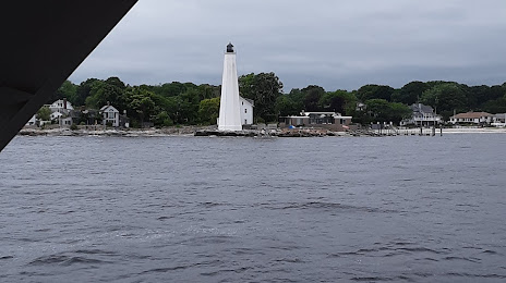
New London on the map, United States
Where is located New London
Exact location — New London, New London County, Connecticut, United States, marked on the map with a red marker.
Coordinates
New London, United States coordinates in decimal format: latitude — 41.3556539, longitude — -72.0995209. When converted to degrees, minutes, seconds New London has the following coordinates: 41°21′20.35 north latitude and -72°5′58.28 east longitude.
Exact time
Time zone for this location New London — UTC -4 America/New_York. Exact time — wednesday, 4 april 2024 year, 17 h. 32 minutes.
Sunrise and sunset
New London, sunrise and sunset data for a date — wednesday 17.04.2024.
| Sunrise | Sunset | Day (duration) |
|---|---|---|
| 06:07 -2 minutes | 19:28 +2 minutes | 13 h. 24 minutes. +4 minutes |
You can control the scale of the map using the auxiliary tools to find out exactly where it is located New London. When you change the scale of the map, the width of the ruler also changes (in kilometers and miles).
Nearby cities
The largest cities that are located nearby:
- Hartford — 66 km
- New Haven — 69 km
- Providence — 77 km
- Waterbury — 82 km
- Springfield — 92 km
- Bridgeport — 93 km
- Worcester — 103 km
- Amherst — 114 km
- Stamford — 125 km
- Cambridge — 139 km
- Boston — 140 km
- Lowell — 155 km
- Yonkers — 157 km
- Brooklyn — 175 km
- New York — 175 km
- Paterson — 180 km
- Newark — 187 km
- Manchester — 189 km
- Elizabeth — 193 km
Distance to neighboring capitals:
- Ottawa
 (Canada) — 538 km
 - Nuuk
 (Greenland) — 2855 km
 - Belmopan
 (Belize) — 3118 km
 - Guatemala City
 (Guatemala) — 3465 km
 - Mexico City
 (Mexico) — 3532 km
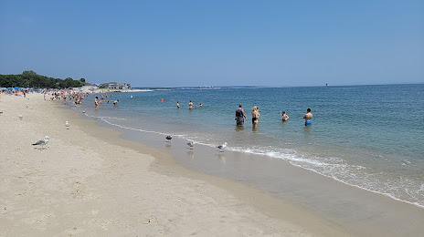
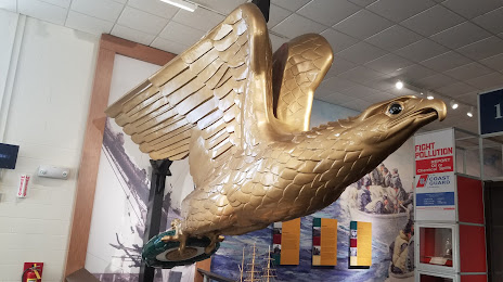
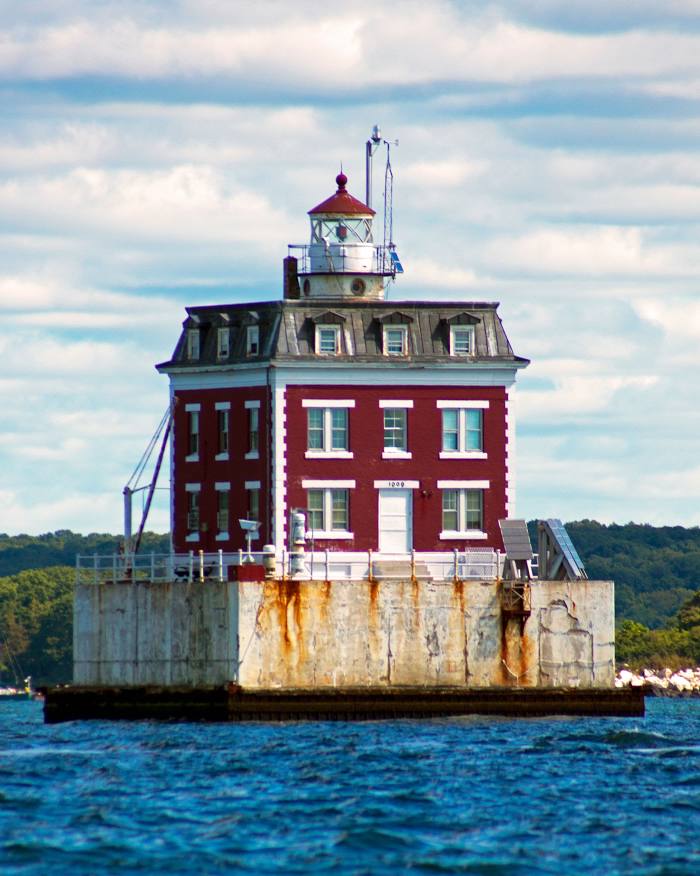
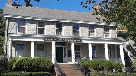
Attractions


Distance to the capital
Distance to the capital (Washington) is about — 500 km.