 Camp Hill
Vulcan
Bedford
Jerusalem
Foley
Door County
Oakville
Baroda
Kalgary
Halifax
High Point
Columbia
La Salle
Salt Rock
Dalbo
New London
Lexington
Southampton
David City
Camp Hill
Vulcan
Bedford
Jerusalem
Foley
Door County
Oakville
Baroda
Kalgary
Halifax
High Point
Columbia
La Salle
Salt Rock
Dalbo
New London
Lexington
Southampton
David City
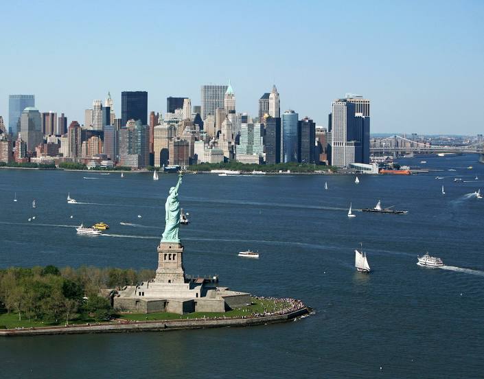
Brooklyn on the map, United States
Where is located Brooklyn
Exact location — Kings County, New York, United States, marked on the map with a red marker.
Coordinates
Brooklyn, United States coordinates in decimal format: latitude — 40.694385, longitude — -73.99368. When converted to degrees, minutes, seconds Brooklyn has the following coordinates: 40°41′39.79 north latitude and -73°59′37.25 east longitude.
Population
Kings County, New York, United States, according to our data the population is — 2,300,664 residents, which is about 0.7% of the total population of the country (United States).
Comparison of the population on the graph:
Exact time
Time zone for this location Brooklyn — UTC -4 America/New_York. Exact time — wednesday, 4 april 2024 year, 22 h. 26 minutes.
Sunrise and sunset
Brooklyn, sunrise and sunset data for a date — wednesday 24.04.2024.
| Sunrise | Sunset | Day (duration) |
|---|---|---|
| 06:06 -1 minute | 19:41 +1 minute | 13 h. 36 minutes. +2 minutes |
You can control the scale of the map using the auxiliary tools to find out exactly where it is located Brooklyn. When you change the scale of the map, the width of the ruler also changes (in kilometers and miles).
Nearby cities
The largest cities that are located nearby:
- New York — 2 km
- Newark — 16 km
- Elizabeth — 19 km
- Yonkers — 27 km
- Paterson — 29 km
- Edison — 40 km
- Stamford — 55 km
- Toms River — 84 km
- Bridgeport — 86 km
- New Haven — 112 km
- Waterbury — 123 km
- Allentown — 126 km
- Philadelphia — 129 km
- Hartford — 160 km
- Springfield — 194 km
- Amherst — 219 km
- Providence — 247 km
- Worcester — 249 km
- Baltimore — 273 km
Distance to neighboring capitals:
- Ottawa
 (Canada) — 544 km
 - Belmopan
 (Belize) — 2968 km
 - Nuuk
 (Greenland) — 2981 km
 - Guatemala City
 (Guatemala) — 3314 km
 - Mexico City
 (Mexico) — 3360 km
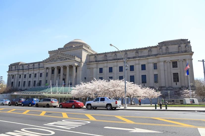
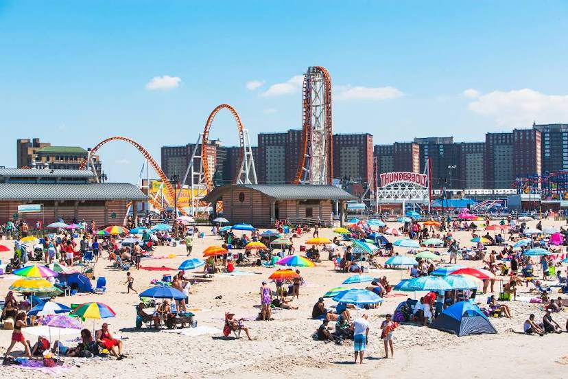
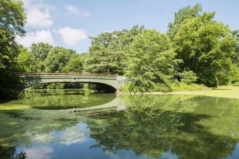
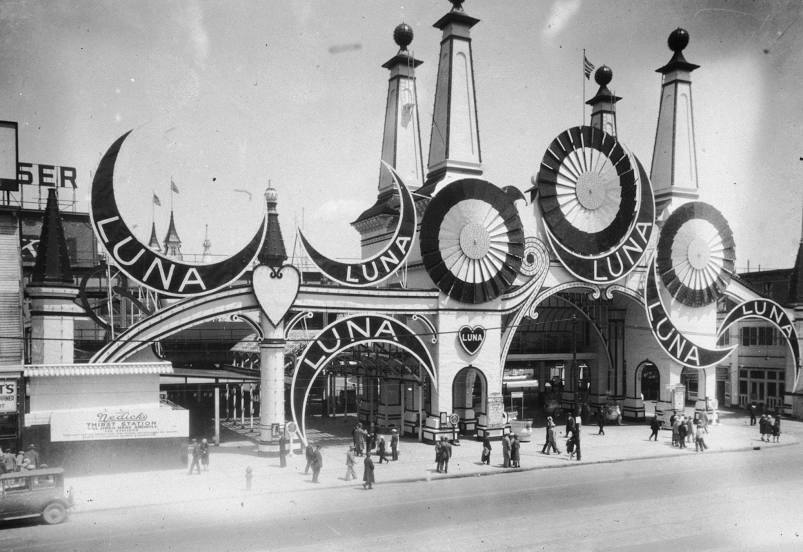
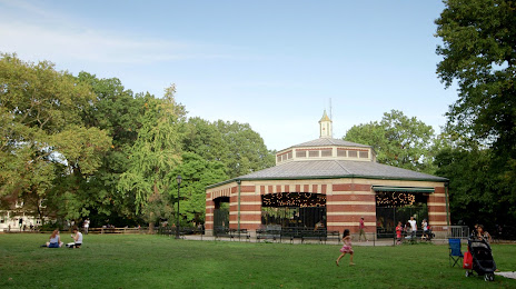
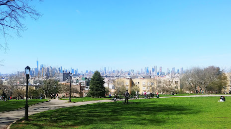
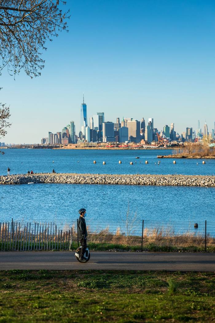
Attractions


Distance to the capital
Distance to the capital (Washington) is about — 327 km.