 Riverdale
Frankfort Municipal Airport
Douglas
Oxford
El Dorado
Joplin
Eastpointe
Juneau
Mount Vernon
Nevada
El Dorado Springs Memorial Airport
Moe
Groton
New Carlisle
Midwest City
Buena Vista County
Swiftcurrent
Bluffdale
Kalama
Riverdale
Frankfort Municipal Airport
Douglas
Oxford
El Dorado
Joplin
Eastpointe
Juneau
Mount Vernon
Nevada
El Dorado Springs Memorial Airport
Moe
Groton
New Carlisle
Midwest City
Buena Vista County
Swiftcurrent
Bluffdale
Kalama
Shoreline on the map, United States
Where is located Shoreline
Exact location — Shoreline, King County, Washington, United States, marked on the map with a red marker.
Coordinates
Shoreline, United States coordinates in decimal format: latitude — 47.7559659, longitude — -122.3456972. When converted to degrees, minutes, seconds Shoreline has the following coordinates: 47°45′21.48 north latitude and -122°20′44.51 east longitude.
Population
Shoreline, King County, Washington, United States, according to our data the population is — 53,007 residents, which is about 0% of the total population of the country (United States).
Comparison of the population on the graph:
Exact time
Time zone for this location Shoreline — UTC -7 America/Los_Angeles. Exact time — thursday, 4 april 2024 year, 15 h. 27 minutes.
Sunrise and sunset
Shoreline, sunrise and sunset data for a date — thursday 25.04.2024.
| Sunrise | Sunset | Day (duration) |
|---|---|---|
| 06:03 -2 minutes | 20:10 +1 minute | 14 h. 6 minutes. +3 minutes |
You can control the scale of the map using the auxiliary tools to find out exactly where it is located Shoreline. When you change the scale of the map, the width of the ruler also changes (in kilometers and miles).
Nearby cities
The largest cities that are located nearby:
- Seattle — 17 km
- Bellevue — 19 km
- Tacoma — 56 km
- Victoria
 (Canada) — 105 km
 - Abbotsford (Canada) — 144 km
- Delta (Canada) — 156 km
- Surrey (Canada) — 162 km
- Richmond (Canada) — 166 km
- Coquitlam (Canada) — 172 km
- Burnaby (Canada) — 173 km
- Anmore (Canada) — 176 km
- Vancouver (Canada) — 178 km
- Portland — 248 km
- Kelowna (Canada) — 311 km
- Salem — 316 km
- Spokane — 367 km
- Eugene — 414 km
- Boise — 671 km
- Calgary (Canada) — 681 km
Distance to neighboring capitals:
- Ottawa (Canada) — 3521 km
- Mexico City
 (Mexico) — 3783 km
 - Nuuk
 (Greenland) — 4473 km
 - Belmopan
 (Belize) — 4563 km
 - Guatemala City
 (Guatemala) — 4705 km
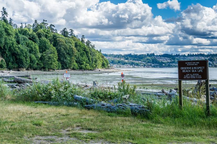
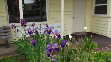
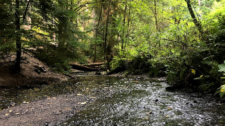
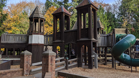
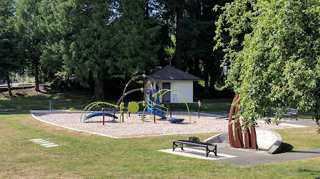
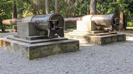
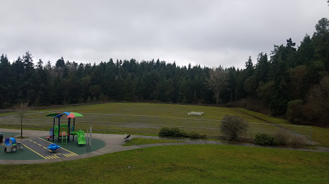
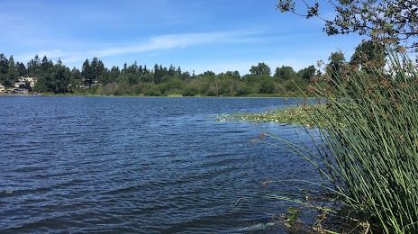
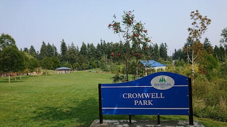
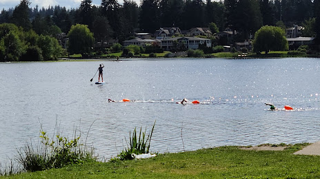
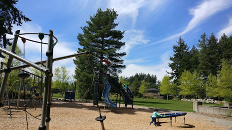
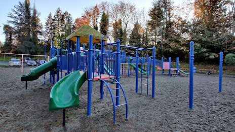
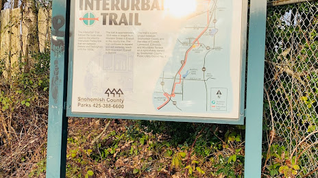
Attractions


Distance to the capital
Distance to the capital (Washington) is about — 3738 km.