 Freehold Township
Amherst
Montana
Lago Vista
Greater Northdale
Coweta
Western Springs
Palestine
Isabel
Wales
Tiburon
Dover
Columbus
Bath
Toledo Express Airport
Olathe
Cadogan
Terminal 3 Economy / Oversized Parking
Istanbul
Freehold Township
Amherst
Montana
Lago Vista
Greater Northdale
Coweta
Western Springs
Palestine
Isabel
Wales
Tiburon
Dover
Columbus
Bath
Toledo Express Airport
Olathe
Cadogan
Terminal 3 Economy / Oversized Parking
Istanbul
Bergenfield on the map, United States
Where is located Bergenfield
Exact location — Bergenfield, Bergen County, New Jersey, United States, marked on the map with a red marker.
Coordinates
Bergenfield, United States coordinates in decimal format: latitude — 40.9275987, longitude — -73.9973608. When converted to degrees, minutes, seconds Bergenfield has the following coordinates: 40°55′39.36 north latitude and -73°59′50.5 east longitude.
Population
Bergenfield, Bergen County, New Jersey, United States, according to our data the population is — 26,764 residents, which is about 0% of the total population of the country (United States).
Comparison of the population on the graph:
Exact time
Time zone for this location Bergenfield — UTC -4 America/New_York. Exact time — thursday, 4 april 2024 year, 16 h. 07 minutes.
Sunrise and sunset
Bergenfield, sunrise and sunset data for a date — thursday 25.04.2024.
| Sunrise | Sunset | Day (duration) |
|---|---|---|
| 06:04 -1 minute | 19:43 +1 minute | 13 h. 42 minutes. +2 minutes |
You can control the scale of the map using the auxiliary tools to find out exactly where it is located Bergenfield. When you change the scale of the map, the width of the ruler also changes (in kilometers and miles).
Nearby cities
The largest cities that are located nearby:
- Yonkers — 8 km
- Paterson — 15 km
- New York — 24 km
- Brooklyn — 26 km
- Newark — 26 km
- Elizabeth — 34 km
- Stamford — 41 km
- Edison — 57 km
- Bridgeport — 73 km
- New Haven — 98 km
- Waterbury — 105 km
- Toms River — 109 km
- Allentown — 130 km
- Hartford — 142 km
- Philadelphia — 146 km
- Springfield — 174 km
- Amherst — 199 km
- Worcester — 232 km
- Providence — 235 km
Distance to neighboring capitals:
- Ottawa
 (Canada) — 518 km
 - Nuuk
 (Greenland) — 2957 km
 - Belmopan
 (Belize) — 2989 km
 - Guatemala City
 (Guatemala) — 3335 km
 - Mexico City
 (Mexico) — 3375 km
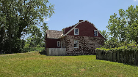
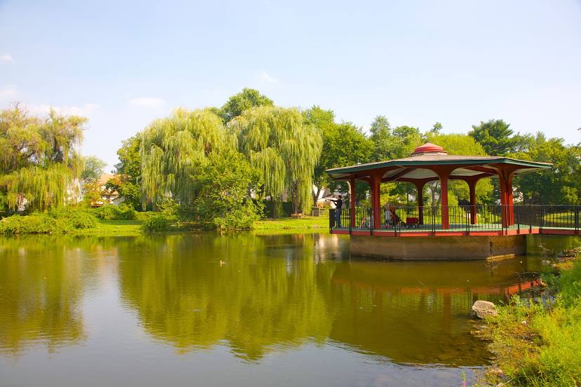
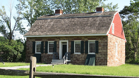
Attractions


Distance to the capital
Distance to the capital (Washington) is about — 343 km.