Santo Cristo
Tupandi
Horizontina
Encantado
Santa Clara do Sul
Tapera
Cerro Largo
Santo Augusto
Escada
Barbacena
Matias Barbosa
Bofete
Cachoeira
Mariana
São Joaquim
Itabirito
Santa Rita
Iranduba
Itacoatiara
Santo Cristo
Tupandi
Horizontina
Encantado
Santa Clara do Sul
Tapera
Cerro Largo
Santo Augusto
Escada
Barbacena
Matias Barbosa
Bofete
Cachoeira
Mariana
São Joaquim
Itabirito
Santa Rita
Iranduba
Itacoatiara
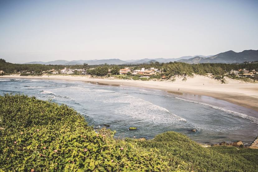
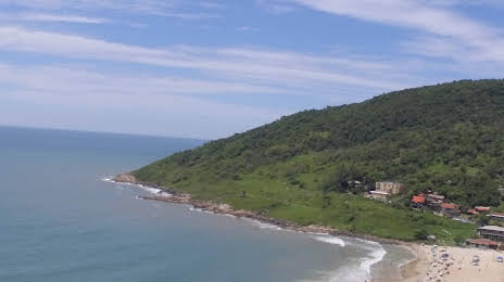
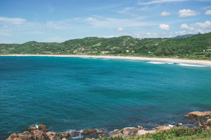
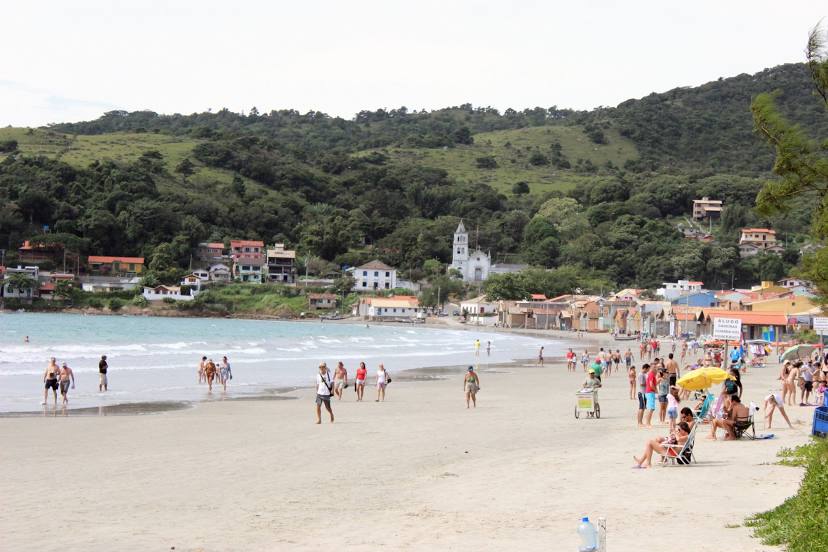
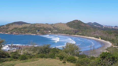
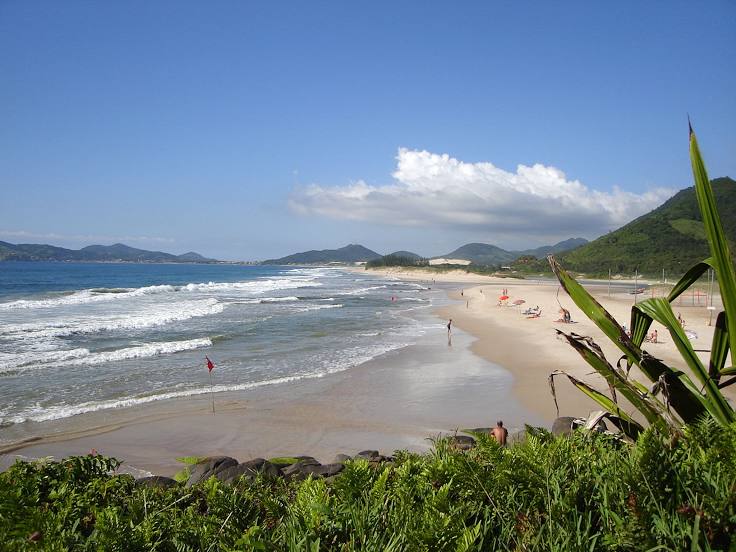
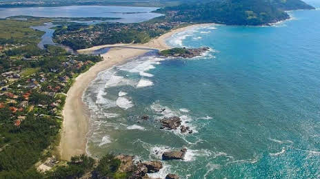
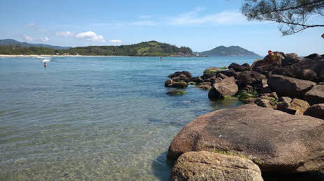
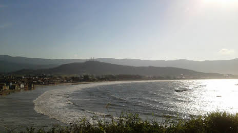
Garopaba on the map, Brazil
Where is located Garopaba
Exact location — Garopaba, Garopaba, Santa Catarina, Brazil, marked on the map with a red marker.
Coordinates
Garopaba, Brazil coordinates in decimal format: latitude — -28.0272534, longitude — -48.6189508. When converted to degrees, minutes, seconds Garopaba has the following coordinates: -28°1′38.11 north latitude and -48°37′8.22 east longitude.
Population
Garopaba, Garopaba, Santa Catarina, Brazil, according to our data the population is — 11,718 residents, which is about 0% of the total population of the country (Brazil).
Comparison of the population on the graph:
Exact time
Time zone for this location Garopaba — UTC -3 America/Sao_Paulo. Exact time — wednesday, 4 april 2024 year, 23 h. 23 minutes.
Sunrise and sunset
Garopaba, sunrise and sunset data for a date — wednesday 24.04.2024.
| Sunrise | Sunset | Day (duration) |
|---|---|---|
| 06:39 -0 minutes | 17:45 -1 minute | 11 h. 6 minutes. -1 minute |
You can control the scale of the map using the auxiliary tools to find out exactly where it is located Garopaba. When you change the scale of the map, the width of the ruler also changes (in kilometers and miles).
Nearby cities
The largest cities that are located nearby:
- Palhoça — 42 km
- São José — 46 km
- Florianópolis — 48 km
- Criciúma — 102 km
- Itajaí — 124 km
- Blumenau — 131 km
- Lages — 169 km
- Jaraguá do Sul — 177 km
- Joinville — 192 km
- Caxias do Sul — 277 km
- Paranaguá — 278 km
- Araucária — 281 km
- São José dos Pinhais — 282 km
- Pinhais — 291 km
- Curitiba — 294 km
- Novo Hamburgo — 303 km
- Colombo — 308 km
- São Leopoldo — 309 km
- Gravataí — 311 km
Distance to neighboring capitals:
- Asuncion
 (Paraguay) — 942 km
 - Asuncion (Paraguay) — 947 km
- Montevideo
 (Uruguay) — 1047 km
 - Buenos Aires
 (Argentina) — 1180 km
 - Santiago
 (Chile) — 2186 km
 - Nuestra Señora de La Paz
 (Bolivia) — 2379 km
 - Paramaribo
 (Suriname) — 3834 km
 - Georgetown
 (Guyana) — 4007 km
 - Quito
 (Ecuador) — 4439 km
 - Bogota
 (Colombia) — 4540 km
 - Caracas
 (Venezuela) — 4719 km