
 Still Bay
Polokwane
Newcastle
East London
Emalahleni
Morningside
Hout Bay
Lyndhurst
Monument Park
Vanderbijlpark
Parkview
Johannesburg
Stellenbosch
Durban
Bloemfontein
Potchefstroom
Pietermaritzburg
Pretoria
Cape Town
Still Bay
Polokwane
Newcastle
East London
Emalahleni
Morningside
Hout Bay
Lyndhurst
Monument Park
Vanderbijlpark
Parkview
Johannesburg
Stellenbosch
Durban
Bloemfontein
Potchefstroom
Pietermaritzburg
Pretoria
Cape Town
Krugersdorp on the map, South Africa
Where is located Krugersdorp
Exact location — Krugersdorp, West Rand, Gauteng, South Africa, marked on the map with a red marker.
Coordinates
Krugersdorp, South Africa coordinates in decimal format: latitude — -26.1, longitude — 27.766667. When converted to degrees, minutes, seconds Krugersdorp has the following coordinates: -26°6′0 north latitude and 27°46′0 east longitude.
Population
Krugersdorp, West Rand, Gauteng, South Africa, according to our data the population is — 378,833 residents, which is about 0.6% of the total population of the country (South Africa).
Comparison of the population on the graph:
Exact time
Time zone for this location Krugersdorp — UTC +2 Africa/Johannesburg. Exact time — thursday, 4 april 2024 year, 03 h. 42 minutes.
Sunrise and sunset
Krugersdorp, sunrise and sunset data for a date — thursday 18.04.2024.
| Sunrise | Sunset | Day (duration) |
|---|---|---|
| 06:28 -0 minutes | 17:47 -1 minute | 11 h. 18 minutes. -1 minute |
You can control the scale of the map using the auxiliary tools to find out exactly where it is located Krugersdorp. When you change the scale of the map, the width of the ruler also changes (in kilometers and miles).
Nearby cities
The largest cities that are located nearby:
- Randfontein — 11 km
- Roodepoort — 14 km
- Soweto — 19 km
- Westonaria — 26 km
- Johannesburg — 30 km
- Diepsloot — 30 km
- Midrand — 37 km
- Centurion — 41 km
- Tembisa — 45 km
- Carletonville — 46 km
- Boksburg — 49 km
- Brits — 54 km
- Benoni — 56 km
- Vereeniging — 65 km
- Vanderbijlpark — 67 km
- Springs — 69 km
- Rustenburg — 71 km
- Nigel — 76 km
- Potchefstroom — 95 km
Distance to neighboring capitals:
- Gaborone
 (Botswana) — 246 km
 - Mbabane
 (Swaziland) — 337 km
 - Maseru
 (Lesotho) — 358 km
 - 2631 Maputo
 (Mozambique) — 481 km
 - Windhoek
 (Namibia) — 1151 km
 - Lilongwe
 (Malawi) — 1486 km
 - Luanda
 (Angola) — 2457 km
 - Dar es Salaam
 (Tanzania) — 2470 km
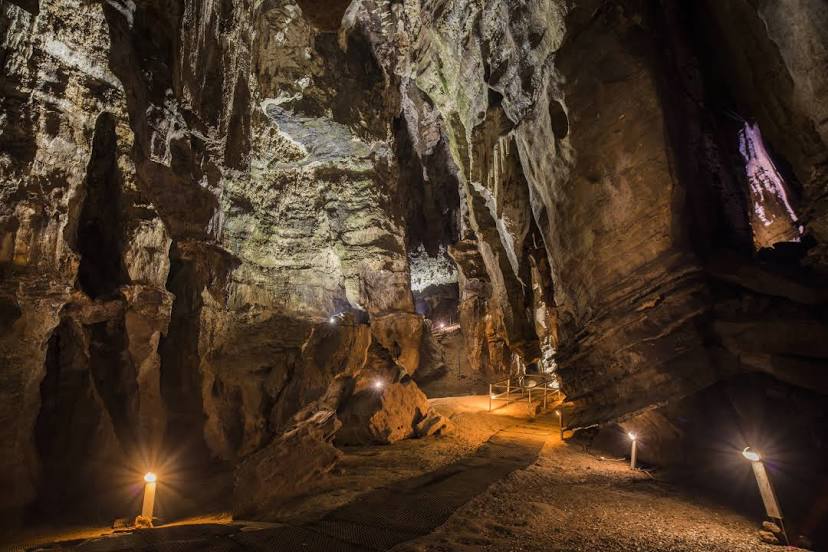
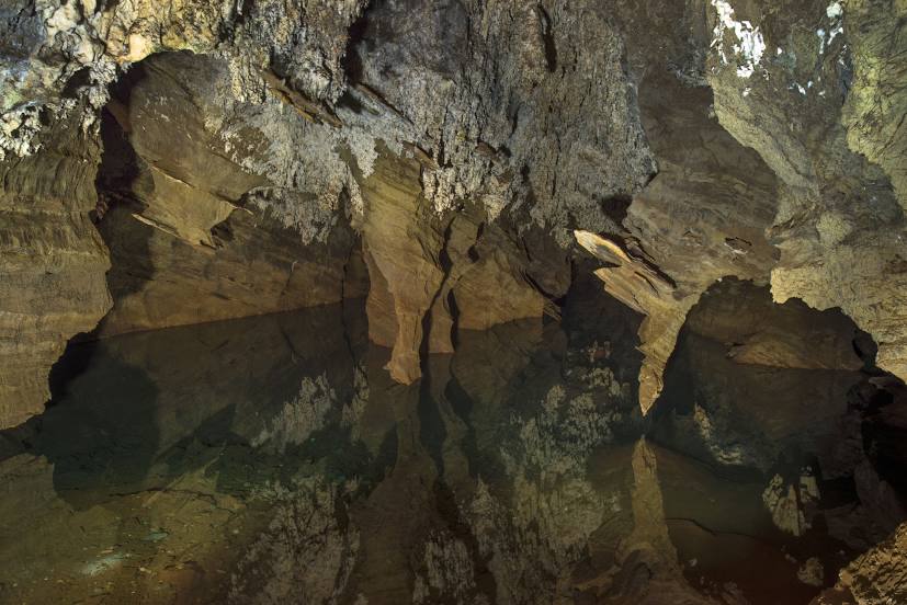
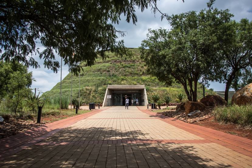
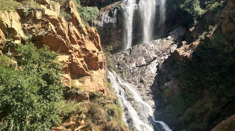
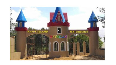
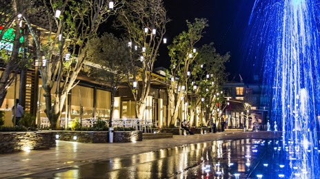
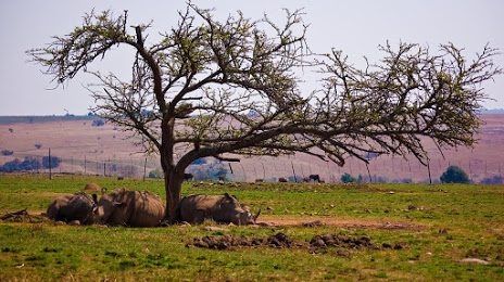
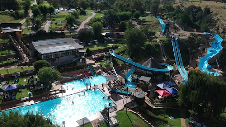
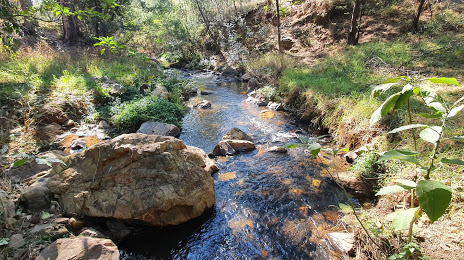
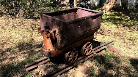
Attractions


Distance to the capital
Distance to the capital (Pretoria) is about — 58 km.