
 San Gil
Buenaventura
El Dorado
Envigado
Soacha
Bavaria
La Costa
Alcantarilla
Cienaga
Manizales
Girardot
Buga
Yumbo
Medellín
Cali
Bucaramanga
Barranquilla
Tocancipa
Neiva
San Gil
Buenaventura
El Dorado
Envigado
Soacha
Bavaria
La Costa
Alcantarilla
Cienaga
Manizales
Girardot
Buga
Yumbo
Medellín
Cali
Bucaramanga
Barranquilla
Tocancipa
Neiva
Tulua on the map, Colombia
Where is located Tulua
Exact location — Tulua, Tuluá, Valle del Cauca, Colombia, marked on the map with a red marker.
Coordinates
Tulua, Colombia coordinates in decimal format: latitude — 4.08578, longitude — -76.19722. When converted to degrees, minutes, seconds Tulua has the following coordinates: 4°5′8.81 north latitude and -76°11′49.99 east longitude.
Population
Tulua, Tuluá, Valle del Cauca, Colombia, according to our data the population is — 165,504 residents, which is about 0.3% of the total population of the country (Colombia).
Comparison of the population on the graph:
Exact time
Time zone for this location Tulua — UTC -5 America/Bogota. Exact time — saturday, 4 april 2024 year, 11 h. 00 minutes.
Sunrise and sunset
Tulua, sunrise and sunset data for a date — saturday 20.04.2024.
| Sunrise | Sunset | Day (duration) |
|---|---|---|
| 05:59 -0 minutes | 18:08 -0 minutes | 12 h. 12 minutes. -0 minutes |
You can control the scale of the map using the auxiliary tools to find out exactly where it is located Tulua. When you change the scale of the map, the width of the ruler also changes (in kilometers and miles).
Nearby cities
The largest cities that are located nearby:
- Buga — 23 km
- Palmira — 62 km
- Armenia — 76 km
- Cartago — 80 km
- Cali — 80 km
- Pereira — 98 km
- Buenaventura — 99 km
- Dos Quebradas — 102 km
- Ibagué — 113 km
- Manizales — 132 km
- Girardot — 155 km
- Neiva — 163 km
- Popayán — 187 km
- Soacha — 225 km
- Itagüi — 239 km
- Envigado — 240 km
- Medellín — 251 km
- Bello — 258 km
- Florencia — 281 km
Distance to neighboring capitals:
- Quito
 (Ecuador) — 537 km
 - Panama
 (Panama) — 657 km
 - San Jose
 (Costa Rica) — 1087 km
 - Caracas
 (Venezuela) — 1247 km
 - Georgetown
 (Guyana) — 2019 km
 - Nuestra Señora de La Paz
 (Bolivia) — 2455 km
 - Asuncion
 (Paraguay) — 3834 km
 - Santiago
 (Chile) — 4214 km
 - Buenos Aires
 (Argentina) — 4690 km
 - Montevideo
 (Uruguay) — 4816 km
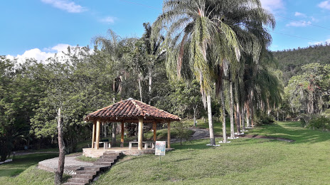
Attractions
Distance to the capital
Distance to the capital (Bogota) is about — 242 km.