 Fernández
San Juan del Río
Zapote
Puebla
Playa del Carmen
Tres Marías
Ixtapaluca
La Venta del Astillero
Mexico City
Valladolid
Zihuatanejo
Jojutla
Ciudad Guzmán
Catemaco
Poza Rica de Hidalgo
Huichapan
Moroleón
Sabinas
Heroic Nogales
Fernández
San Juan del Río
Zapote
Puebla
Playa del Carmen
Tres Marías
Ixtapaluca
La Venta del Astillero
Mexico City
Valladolid
Zihuatanejo
Jojutla
Ciudad Guzmán
Catemaco
Poza Rica de Hidalgo
Huichapan
Moroleón
Sabinas
Heroic Nogales
Delicias on the map, Mexico
Where is located Delicias
Exact location — Delicias, Delicias Municipality, Chihuahua, Mexico, marked on the map with a red marker.
Coordinates
Delicias, Mexico coordinates in decimal format: latitude — 28.193056, longitude — -105.471667. When converted to degrees, minutes, seconds Delicias has the following coordinates: 28°11′35 north latitude and -105°28′18 east longitude.
Population
Delicias, Delicias Municipality, Chihuahua, Mexico, according to our data the population is — 102,974 residents, which is about 0.1% of the total population of the country (Mexico).
Comparison of the population on the graph:
Exact time
Time zone for this location Delicias — UTC -7 America/Mazatlan. Exact time — thursday, 4 april 2024 year, 02 h. 07 minutes.
Sunrise and sunset
Delicias, sunrise and sunset data for a date — thursday 25.04.2024.
| Sunrise | Sunset | Day (duration) |
|---|---|---|
| 05:28 -1 minute | 18:30 -0 minutes | 13 h. 0 minutes. +1 minute |
You can control the scale of the map using the auxiliary tools to find out exactly where it is located Delicias. When you change the scale of the map, the width of the ruler also changes (in kilometers and miles).
Nearby cities
The largest cities that are located nearby:
- Chihuahua — 76 km
- Gómez Palacio — 349 km
- Torreón — 358 km
- Matamoros — 370 km
- Ciudad Juarez — 397 km
- El Paso
 (United States) — 407 km
 - Navojoa — 410 km
- Monclova — 424 km
- Los Mochis — 439 km
- Ciudad Obregón — 444 km
- Ciudad Acuna — 453 km
- Durango — 468 km
- Piedras Negras — 483 km
- Guaymas — 531 km
- Hermosillo — 539 km
- Saltillo — 542 km
- Mazatlán — 555 km
- Santa Catarina — 572 km
- San Pedro Garza García — 578 km
Distance to neighboring capitals:
- Belmopan
 (Belize) — 2098 km
 - Guatemala City
 (Guatemala) — 2158 km
 - Tegucigalpa
 (Honduras) — 2453 km
 - Washington (United States) — 2877 km
- Ottawa
 (Canada) — 3241 km
 - Saint John
 (Puerto Rico) — 4144 km
 - Belgrade
 (Serbia) — 10228 km
 - Podgorica
 (Montenegro) — 10340 km
 - Hagåtña
 (Guam) — 11163 km
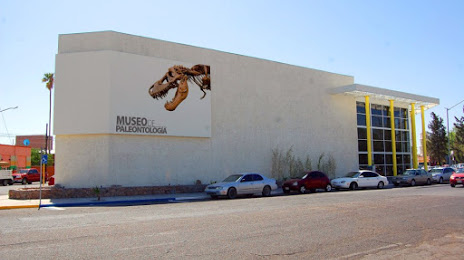
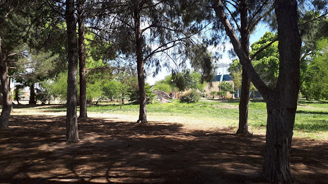
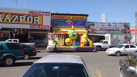
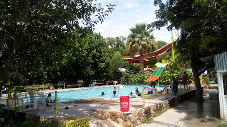
Attractions


Distance to the capital
Distance to the capital (Mexico City) is about — 1168 km.