
 Cienaga
Florencia
Riosucio
Canalete
Bello
Cartago
Cota
Quimbaya
Jamundí
Cúcuta
Barrancabermeja
Duitama
Ibagué
Pasto
Envigado
Popayán
Villavicencio
Manizales
Girardot
Cienaga
Florencia
Riosucio
Canalete
Bello
Cartago
Cota
Quimbaya
Jamundí
Cúcuta
Barrancabermeja
Duitama
Ibagué
Pasto
Envigado
Popayán
Villavicencio
Manizales
Girardot
Soledad on the map, Colombia
Where is located Soledad
Exact location — Soledad, Soledad, Atlántico, Colombia, marked on the map with a red marker.
Coordinates
Soledad, Colombia coordinates in decimal format: latitude — 10.91685, longitude — -74.76634. When converted to degrees, minutes, seconds Soledad has the following coordinates: 10°55′0.66 north latitude and -74°45′58.82 east longitude.
Population
Soledad, Soledad, Atlántico, Colombia, according to our data the population is — 342,562 residents, which is about 0.7% of the total population of the country (Colombia).
Comparison of the population on the graph:
Exact time
Time zone for this location Soledad — UTC -5 America/Bogota. Exact time — tuesday, 4 april 2024 year, 03 h. 10 minutes.
Sunrise and sunset
Soledad, sunrise and sunset data for a date — tuesday 23.04.2024.
| Sunrise | Sunset | Day (duration) |
|---|---|---|
| 05:46 -0 minutes | 18:08 -0 minutes | 12 h. 24 minutes. -0 minutes |
You can control the scale of the map using the auxiliary tools to find out exactly where it is located Soledad. When you change the scale of the map, the width of the ruler also changes (in kilometers and miles).
Nearby cities
The largest cities that are located nearby:
- Malambo — 6 km
- Barranquilla — 7 km
- Santa Marta — 71 km
- Cartagena — 100 km
- Valledupar — 172 km
- Magangué — 185 km
- Sincelejo — 191 km
- Monteria — 269 km
- Maicao — 279 km
- Maracaibo
 (Venezuela) — 342 km
 - Cabimas (Venezuela) — 363 km
- Cúcuta — 417 km
- Barrancabermeja — 438 km
- San Cristobal (Venezuela) — 445 km
- Bucaramanga — 456 km
- Giron — 460 km
- Floridablanca — 464 km
- Ejido (Venezuela) — 466 km
- Merida (Venezuela) — 471 km
Distance to neighboring capitals:
- Panama
 (Panama) — 563 km
 - Caracas (Venezuela) — 857 km
- San Jose
 (Costa Rica) — 1026 km
 - Quito
 (Ecuador) — 1300 km
 - Georgetown
 (Guyana) — 1880 km
 - Nuestra Señora de La Paz
 (Bolivia) — 3135 km
 - Asuncion
 (Paraguay) — 4435 km
 - Santiago
 (Chile) — 4953 km
 - Buenos Aires
 (Argentina) — 5350 km
 - Montevideo
 (Uruguay) — 5460 km
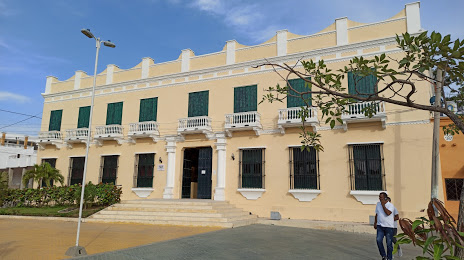
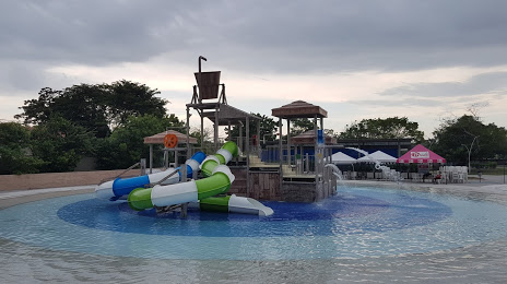
Attractions
Distance to the capital
Distance to the capital (Bogota) is about — 707 km.