
 Herne
Augsburg
Starnberg
Gernsbach
Wehingen
Brunswick
Aschaffenburg
Datteln
Krefeld
Arnoldsweiler
Kaiserslautern
Nümbrecht
Erbach im Odenwald
Unterschleißheim
Sachsen bei Ansbach
Regensburg
Wesel
Gera
Ingelfingen
Herne
Augsburg
Starnberg
Gernsbach
Wehingen
Brunswick
Aschaffenburg
Datteln
Krefeld
Arnoldsweiler
Kaiserslautern
Nümbrecht
Erbach im Odenwald
Unterschleißheim
Sachsen bei Ansbach
Regensburg
Wesel
Gera
Ingelfingen
Hamm on the map, Germany
Where is located Hamm
Exact location — Hamm, North Rhine-Westphalia, Germany, marked on the map with a red marker.
Coordinates
Hamm, Germany coordinates in decimal format: latitude — 51.6738583, longitude — 7.8159816. When converted to degrees, minutes, seconds Hamm has the following coordinates: 51°40′25.89 north latitude and 7°48′57.53 east longitude.
Population
Hamm, North Rhine-Westphalia, Germany, according to our data the population is — 186,289 residents, which is about 0.2% of the total population of the country (Germany).
Comparison of the population on the graph:
Exact time
Time zone for this location Hamm — UTC +2 Europe/Berlin. Exact time — thursday, 4 april 2024 year, 04 h. 11 minutes.
Sunrise and sunset
Hamm, sunrise and sunset data for a date — thursday 25.04.2024.
| Sunrise | Sunset | Day (duration) |
|---|---|---|
| 06:14 -2 minutes | 20:38 +1 minute | 14 h. 24 minutes. +3 minutes |
You can control the scale of the map using the auxiliary tools to find out exactly where it is located Hamm. When you change the scale of the map, the width of the ruler also changes (in kilometers and miles).
Nearby cities
The largest cities that are located nearby:
- Dortmund — 30 km
- Münster — 34 km
- Witten — 41 km
- Hagen — 42 km
- Recklinghausen — 43 km
- Herne — 45 km
- Bochum — 46 km
- Gelsenkirchen — 53 km
- Essen — 60 km
- Bottrop — 62 km
- Bielefeld — 63 km
- Paderborn — 65 km
- Wuppertal — 65 km
- Oberhausen — 68 km
- Osnabrück — 69 km
- Remscheid — 70 km
- Mülheim — 70 km
- Solingen — 75 km
- Duisburg — 77 km
Distance to neighboring capitals:
- Amsterdam
 (Netherlands) — 214 km
 - Brussels
 (Belgium) — 258 km
 - Prague
 (Czech Republic) — 497 km
 - Paris
 (France) — 499 km
 - Paris (France) — 499 km
- Vaduz
 (Liechtenstein) — 519 km
 - Bern
 (Switzerland) — 526 km
 - Copenhagen
 (Denmark) — 544 km
 - Vienna
 (Austria) — 723 km
 - Ljubljana
 (Slovenia) — 793 km
 - Warsaw
 (Poland) — 905 km
 - Oslo
 (Norway) — 934 km
 - Stockholm
 (Sweden) — 1060 km
 - Rome
 (Italy) — 1143 km
 - Minsk
 (Belarus) — 1347 km
 - Helsinki
 (Finland) — 1418 km
 - Kyiv
 (Ukraine) — 1587 km
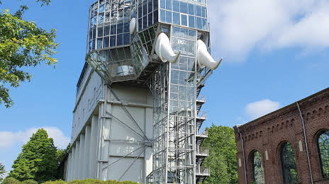
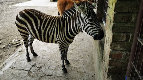
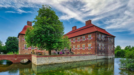
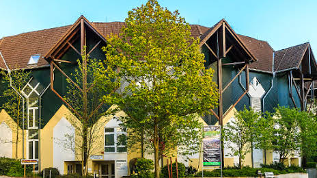
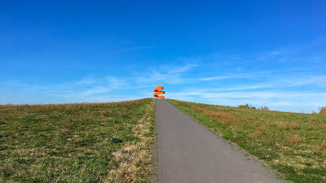
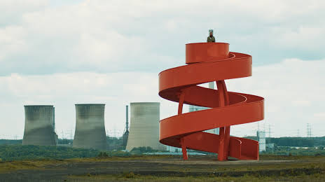
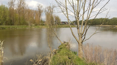
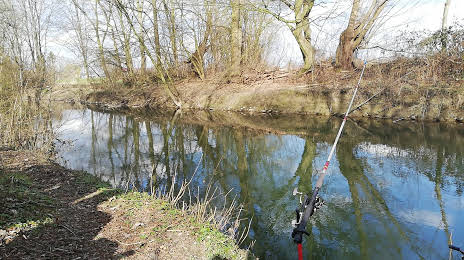
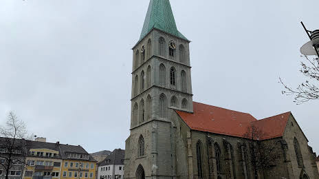
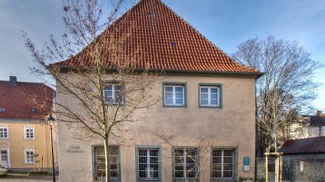
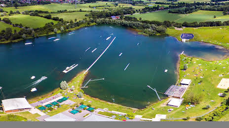
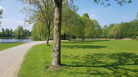
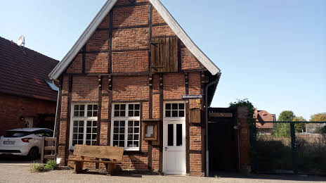
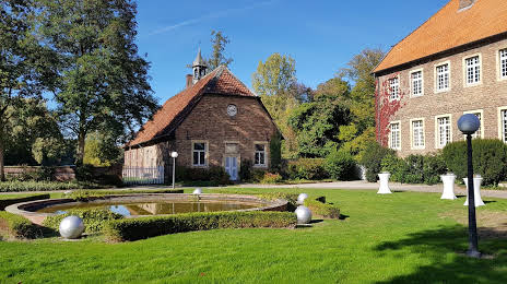
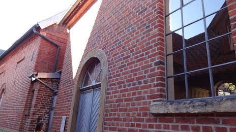
Attractions


Distance to the capital
Distance to the capital (Berlin) is about — 393 km.