 San Carlos Nuevo Guaymas
Jilotepec
Nuevo Laredo
Teoloyucan
Cerro Azul
Tepetzintla
Domingo Arenas
Nativitas
Papantla
Chilpancingo
Huetamo
Santa Gertrudis
Tequixquiac
Gómez Palacio
Concordia
La Paz
Temixco
Camargo
Ignacio Zaragoza
San Carlos Nuevo Guaymas
Jilotepec
Nuevo Laredo
Teoloyucan
Cerro Azul
Tepetzintla
Domingo Arenas
Nativitas
Papantla
Chilpancingo
Huetamo
Santa Gertrudis
Tequixquiac
Gómez Palacio
Concordia
La Paz
Temixco
Camargo
Ignacio Zaragoza
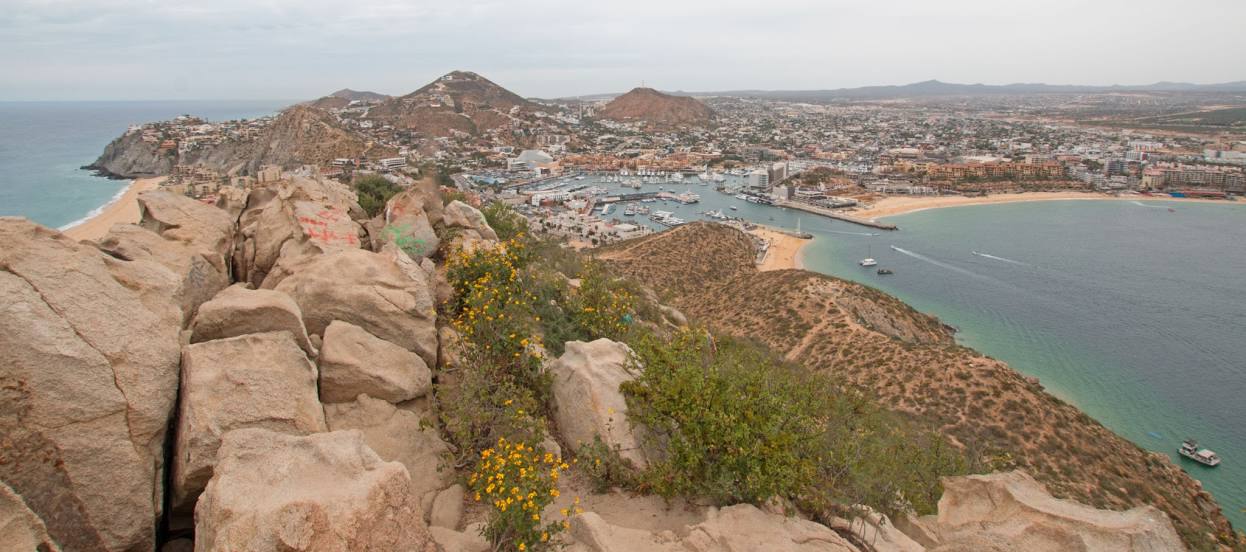
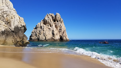
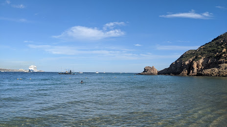
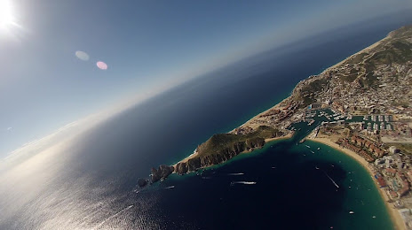
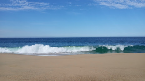
Cabo San Lucas on the map, Mexico
Where is located Cabo San Lucas
Exact location — Cabo San Lucas, Los Cabos, Baja California Sur, Mexico, marked on the map with a red marker.
Coordinates
Cabo San Lucas, Mexico coordinates in decimal format: latitude — 22.8905327, longitude — -109.9167371. When converted to degrees, minutes, seconds Cabo San Lucas has the following coordinates: 22°53′25.92 north latitude and -109°55′0.25 east longitude.
Population
Cabo San Lucas, Los Cabos, Baja California Sur, Mexico, according to our data the population is — 42,601 residents, which is about 0% of the total population of the country (Mexico).
Comparison of the population on the graph:
Exact time
Time zone for this location Cabo San Lucas — UTC -7 America/Mazatlan. Exact time — friday, 4 april 2024 year, 02 h. 25 minutes.
Sunrise and sunset
Cabo San Lucas, sunrise and sunset data for a date — friday 19.04.2024.
| Sunrise | Sunset | Day (duration) |
|---|---|---|
| 05:57 -1 minute | 18:39 -0 minutes | 12 h. 42 minutes. +1 minute |
You can control the scale of the map using the auxiliary tools to find out exactly where it is located Cabo San Lucas. When you change the scale of the map, the width of the ruler also changes (in kilometers and miles).
Nearby cities
The largest cities that are located nearby:
- La Paz — 144 km
- Los Mochis — 334 km
- Mazatlán — 358 km
- Navojoa — 465 km
- Ciudad Obregón — 508 km
- Tepic — 539 km
- Puerto Vallarta — 545 km
- Durango — 546 km
- Guaymas — 564 km
- Hermosillo — 691 km
- Gómez Palacio — 707 km
- Torreón — 713 km
- Zapopan — 716 km
- Manzanillo — 717 km
- Fresnillo — 717 km
- Guadalajara — 723 km
- Tlaquepaque — 727 km
- Matamoros — 728 km
- Delicias — 729 km
Distance to neighboring capitals:
- Guatemala City
 (Guatemala) — 2236 km
 - Belmopan
 (Belize) — 2294 km
 - Tegucigalpa
 (Honduras) — 2583 km
 - Washington
 (United States) — 3580 km
 - Ottawa
 (Canada) — 3975 km
 - Saint John
 (Puerto Rico) — 4569 km
 - Hagåtña
 (Guam) — 10946 km
 - Belgrade
 (Serbia) — 10966 km
 - Podgorica
 (Montenegro) — 11080 km
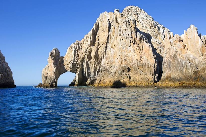
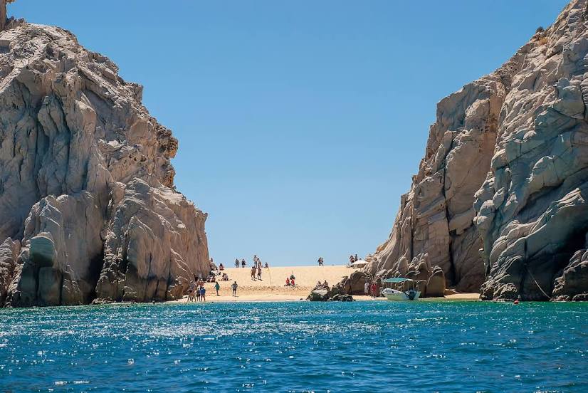
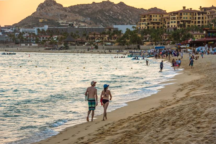
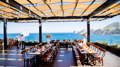
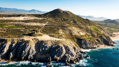
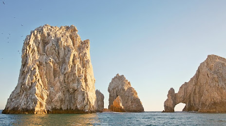
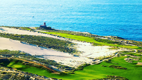
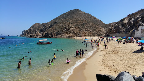
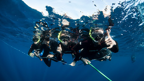
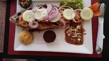
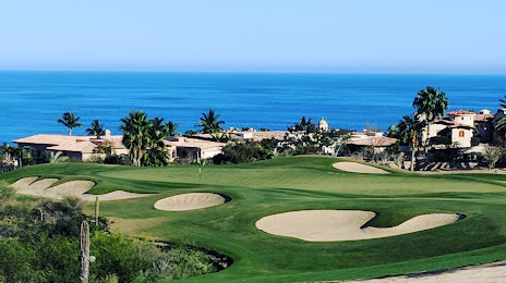
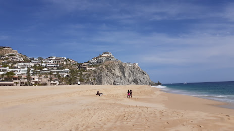
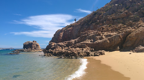
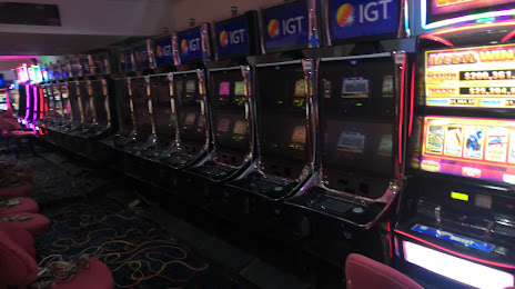
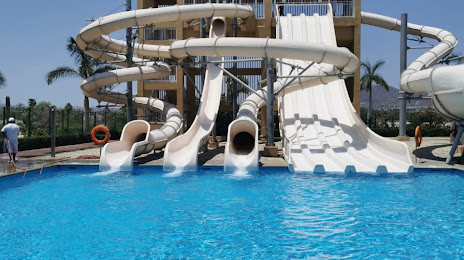
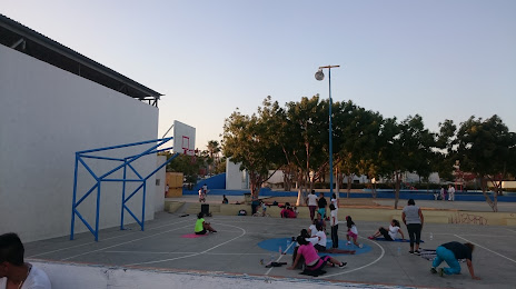
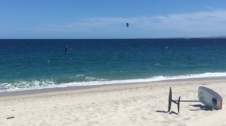
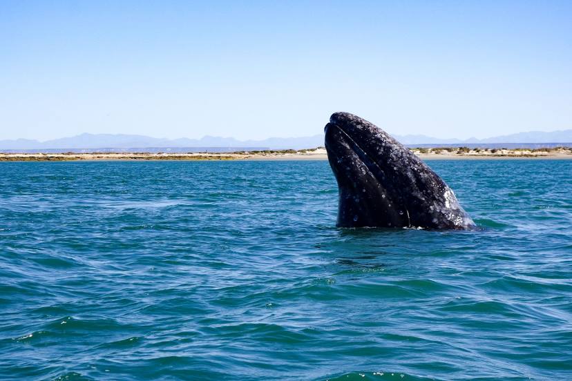
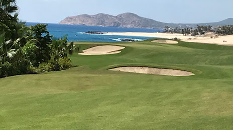
Attractions


Distance to the capital
Distance to the capital (Mexico City) is about — 1182 km.