 Libres
Cotija de la Paz
Coatepec
Las Vigas
Perote
Naolinco
Ciudad Guadalupe Victoria
Alto Lucero
Zempoala
San Cristobal
Río Bravo
Seybaplaya
Pericos
Cabo San Lucas
San Blas
Iguala
Pinotepa Nacional
Guasave
Boca del Monte
Libres
Cotija de la Paz
Coatepec
Las Vigas
Perote
Naolinco
Ciudad Guadalupe Victoria
Alto Lucero
Zempoala
San Cristobal
Río Bravo
Seybaplaya
Pericos
Cabo San Lucas
San Blas
Iguala
Pinotepa Nacional
Guasave
Boca del Monte
Teoloyucan on the map, Mexico
Where is located Teoloyucan
Exact location — Teoloyucan, Teoloyucan, State of Mexico, Mexico, marked on the map with a red marker.
Coordinates
Teoloyucan, Mexico coordinates in decimal format: latitude — 19.744167, longitude — -99.181111. When converted to degrees, minutes, seconds Teoloyucan has the following coordinates: 19°44′39 north latitude and -99°10′52 east longitude.
Population
Teoloyucan, Teoloyucan, State of Mexico, Mexico, according to our data the population is — 61,379 residents, which is about 0% of the total population of the country (Mexico).
Comparison of the population on the graph:
Exact time
Time zone for this location Teoloyucan — UTC -6 America/Mexico_City. Exact time — tuesday, 4 april 2024 year, 04 h. 03 minutes.
Sunrise and sunset
Teoloyucan, sunrise and sunset data for a date — tuesday 23.04.2024.
| Sunrise | Sunset | Day (duration) |
|---|---|---|
| 06:14 -1 minute | 18:54 -0 minutes | 12 h. 42 minutes. +1 minute |
You can control the scale of the map using the auxiliary tools to find out exactly where it is located Teoloyucan. When you change the scale of the map, the width of the ruler also changes (in kilometers and miles).
Nearby cities
The largest cities that are located nearby:
- Cuautitlán Izcalli — 13 km
- Coacalco — 15 km
- Buenavista — 16 km
- Ojo de Agua — 17 km
- Ecatepec — 21 km
- Ciudad López Mateos — 23 km
- Tlalnepantla — 23 km
- Naucalpan — 29 km
- Texcoco — 41 km
- Chimalhuacan — 42 km
- Ciudad Nezahualcóyotl — 43 km
- Ixtapaluca — 58 km
- Pachuca — 59 km
- Chalco de Díaz Covarrubias — 61 km
- Metepec — 70 km
- Toluca — 71 km
- Cuernavaca — 91 km
- Tulancingo — 93 km
- Jiutepec — 95 km
Distance to neighboring capitals:
- Guatemala City
 (Guatemala) — 1081 km
 - Belmopan
 (Belize) — 1133 km
 - Tegucigalpa
 (Honduras) — 1420 km
 - Washington
 (United States) — 3009 km
 - Saint John
 (Puerto Rico) — 3474 km
 - Ottawa
 (Canada) — 3577 km
 - Belgrade
 (Serbia) — 10599 km
 - Podgorica
 (Montenegro) — 10667 km
 - Hagåtña
 (Guam) — 12110 km
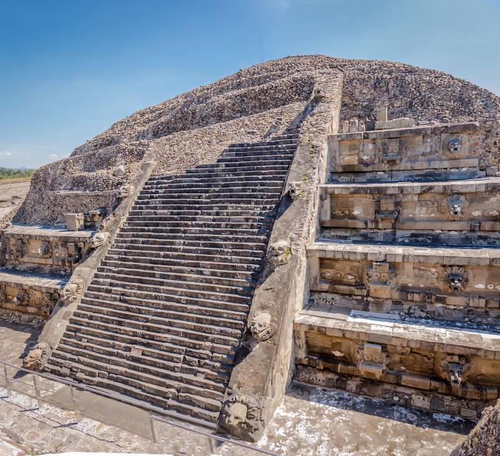
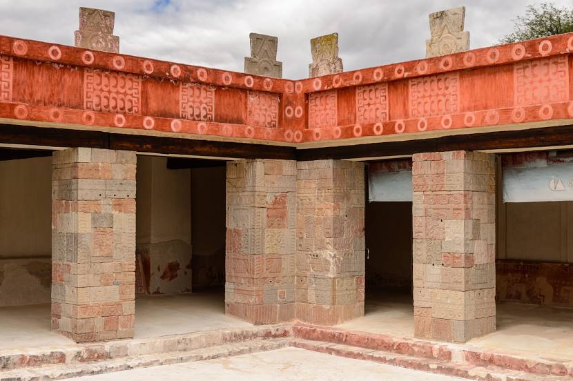
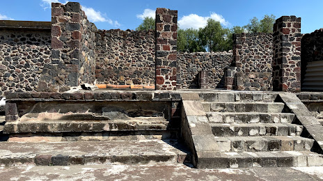
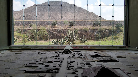
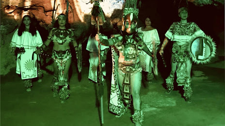
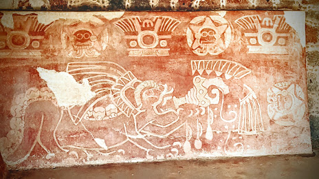
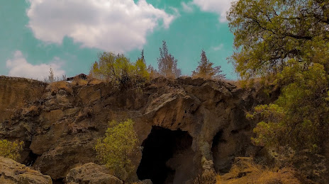
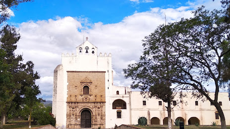
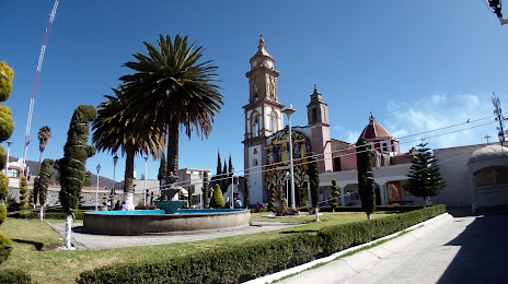
Attractions


Distance to the capital
Distance to the capital (Mexico City) is about — 35 km.