 Matehuala
La Reforma
Escalerillas
Santa Rita
Cedral
San Diego de la Unión
Villachuato
Queréndaro
Quiroga
Pátzcuaro
Ruiz
Las Varas
Compostela
Tepalcatepec
La Mira
Jerécuaro
El Sauz
La Lira
La Moncada
Matehuala
La Reforma
Escalerillas
Santa Rita
Cedral
San Diego de la Unión
Villachuato
Queréndaro
Quiroga
Pátzcuaro
Ruiz
Las Varas
Compostela
Tepalcatepec
La Mira
Jerécuaro
El Sauz
La Lira
La Moncada
Jerez de García Salinas on the map, Mexico
Where is located Jerez de García Salinas
Exact location — Jerez de García Salinas, Jerez de García Salinas, Zacatecas, Mexico, marked on the map with a red marker.
Coordinates
Jerez de García Salinas, Mexico coordinates in decimal format: latitude — 22.6468746, longitude — -102.9876221. When converted to degrees, minutes, seconds Jerez de García Salinas has the following coordinates: 22°38′48.75 north latitude and -102°59′15.44 east longitude.
Population
Jerez de García Salinas, Jerez de García Salinas, Zacatecas, Mexico, according to our data the population is — 43,064 residents, which is about 0% of the total population of the country (Mexico).
Comparison of the population on the graph:
Exact time
Time zone for this location Jerez de García Salinas — UTC -6 America/Mexico_City. Exact time — wednesday, 4 april 2024 year, 21 h. 30 minutes.
Sunrise and sunset
Jerez de García Salinas, sunrise and sunset data for a date — wednesday 24.04.2024.
| Sunrise | Sunset | Day (duration) |
|---|---|---|
| 06:26 -1 minute | 19:13 -0 minutes | 12 h. 48 minutes. +1 minute |
You can control the scale of the map using the auxiliary tools to find out exactly where it is located Jerez de García Salinas. When you change the scale of the map, the width of the ruler also changes (in kilometers and miles).
Nearby cities
The largest cities that are located nearby:
- Zacatecas — 43 km
- Fresnillo — 60 km
- Aguascalientes — 110 km
- San Luis Potosi — 212 km
- León — 215 km
- Soledad de Graciano Sánchez — 216 km
- Zapopan — 223 km
- Guadalajara — 223 km
- Tlaquepaque — 224 km
- Tonalá — 225 km
- Durango — 227 km
- Tepic — 233 km
- Irapuato — 276 km
- Salamanca — 295 km
- Zamora — 303 km
- Matamoros — 319 km
- Puerto Vallarta — 320 km
- Torreón — 323 km
- Celaya — 325 km
Distance to neighboring capitals:
- Guatemala City
 (Guatemala) — 1586 km
 - Belmopan
 (Belize) — 1602 km
 - Tegucigalpa
 (Honduras) — 1916 km
 - Washington
 (United States) — 3051 km
 - Ottawa
 (Canada) — 3536 km
 - Saint John
 (Puerto Rico) — 3859 km
 - Belgrade
 (Serbia) — 10583 km
 - Podgorica
 (Montenegro) — 10672 km
 - Hagåtña
 (Guam) — 11623 km
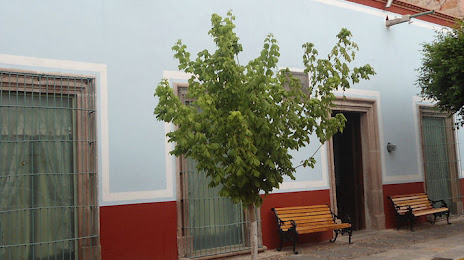
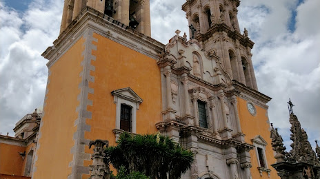
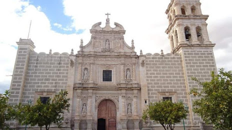
Attractions

Distance to the capital
Distance to the capital (Mexico City) is about — 537 km.