
 Jorge Wilsterman Airport
Bolivia
The Dip
Carrasco
San Borja
Rurrenabaque
Padcaya
Yacuíba
Atocha
Jorge Wilsterman Airport
Bolivia
The Dip
Carrasco
San Borja
Rurrenabaque
Padcaya
Yacuíba
Atocha
Potosi on the map, Bolivia
Where is located Potosi
Exact location — Potosi, Tomas Frias, Potosi Department, Bolivia, marked on the map with a red marker.
Coordinates
Potosi, Bolivia coordinates in decimal format: latitude — -19.5722805, longitude — -65.7550063. When converted to degrees, minutes, seconds Potosi has the following coordinates: -19°34′20.21 north latitude and -65°45′18.02 east longitude.
Population
Potosi, Tomas Frias, Potosi Department, Bolivia, according to our data the population is — 141,254 residents, which is about 1.2% of the total population of the country (Bolivia).
Comparison of the population on the graph:
Exact time
Time zone for this location Potosi — UTC -4 America/La_Paz. Exact time — thursday, 4 april 2024 year, 13 h. 06 minutes.
Sunrise and sunset
Potosi, sunrise and sunset data for a date — thursday 25.04.2024.
| Sunrise | Sunset | Day (duration) |
|---|---|---|
| 06:39 +1 minute | 18:02 -1 minute | 11 h. 24 minutes. -2 minutes |
You can control the scale of the map using the auxiliary tools to find out exactly where it is located Potosi. When you change the scale of the map, the width of the ruler also changes (in kilometers and miles).
Nearby cities
The largest cities that are located nearby:
- Sucre — 80 km
- Oruro — 228 km
- Tarija — 241 km
- Cochabamba — 246 km
- Santa Cruz de la Sierra — 346 km
- Calama
 (Chile) — 454 km
 - Iquique (Chile) — 461 km
- Arica (Chile) — 493 km
- Tacna
 (Peru) — 503 km
 - San Salvador de Jujuy
 (Argentina) — 512 km
 - Salta (Argentina) — 577 km
- Fist (Peru) — 613 km
- Juliaca (Peru) — 648 km
- Antofagasta (Chile) — 652 km
- Arequipa (Peru) — 706 km
- San Miguel de Tucuman (Argentina) — 802 km
- Santiago del Estero (Argentina) — 920 km
- Cusco (Peru) — 944 km
- Copiapó (Chile) — 972 km
Distance to neighboring capitals:
- Asuncion
 (Paraguay) — 1048 km
 - Asuncion (Paraguay) — 1052 km
- Santiago (Chile) — 1617 km
- Buenos Aires (Argentina) — 1823 km
- Montevideo
 (Uruguay) — 1948 km
 - Quito
 (Ecuador) — 2564 km
 - Bogota
 (Colombia) — 2838 km
 - Caracas
 (Venezuela) — 3349 km
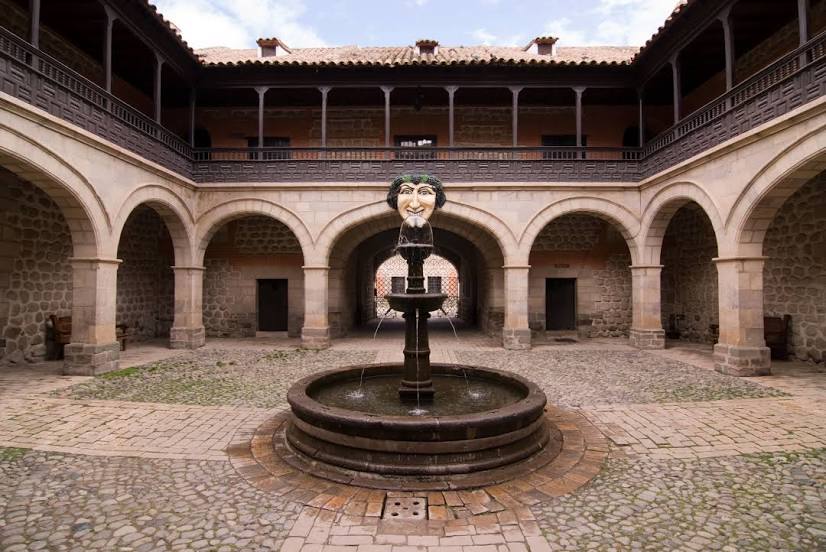
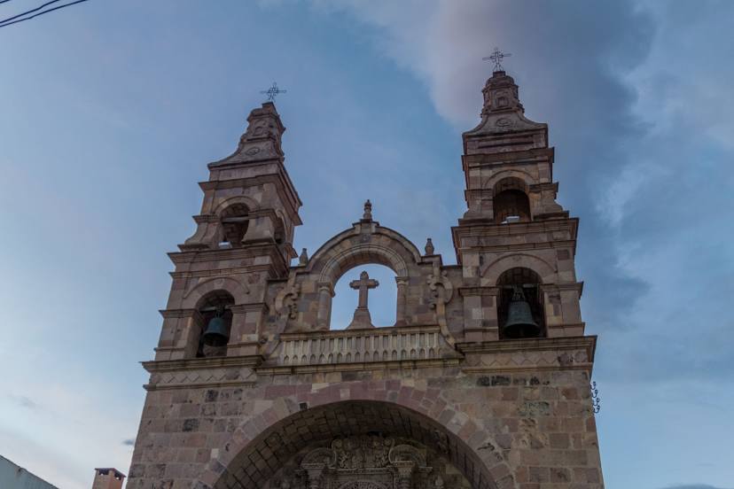
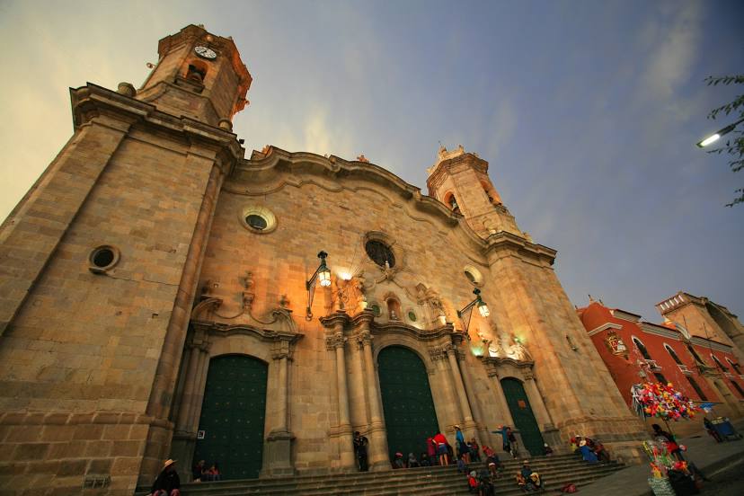
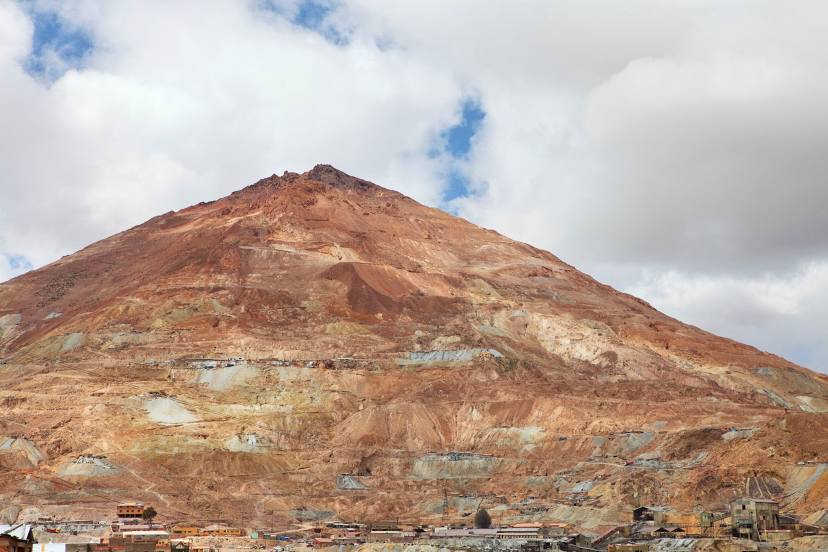
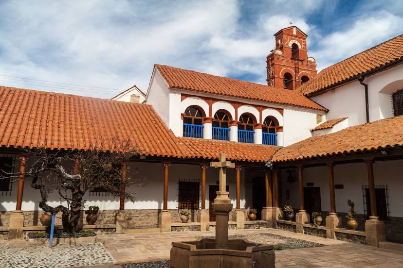
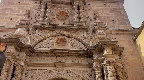
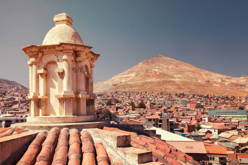
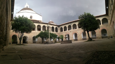
Attractions
Distance to the capital
Distance to the capital (Nuestra Señora de La Paz) is about — 425 km.