
 Sachica
Quetame
Guayabetal
Cotorra
Rionegro
Guarne
Santa Rosa De Osos
Concepcion
Angostura
Florencia
Cienaga
Alcantarilla
La Costa
Bavaria
Soacha
Envigado
El Dorado
Buenaventura
San Gil
Sachica
Quetame
Guayabetal
Cotorra
Rionegro
Guarne
Santa Rosa De Osos
Concepcion
Angostura
Florencia
Cienaga
Alcantarilla
La Costa
Bavaria
Soacha
Envigado
El Dorado
Buenaventura
San Gil
Santa Rosa De Cabal on the map, Colombia
Where is located Santa Rosa De Cabal
Exact location — Santa Rosa De Cabal, Santa Rosa De Cabal, Risaralda, Colombia, marked on the map with a red marker.
Coordinates
Santa Rosa De Cabal, Colombia coordinates in decimal format: latitude — 4.86514, longitude — -75.62117. When converted to degrees, minutes, seconds Santa Rosa De Cabal has the following coordinates: 4°51′54.5 north latitude and -75°37′16.21 east longitude.
Population
Santa Rosa De Cabal, Santa Rosa De Cabal, Risaralda, Colombia, according to our data the population is — 57,929 residents, which is about 0.1% of the total population of the country (Colombia).
Comparison of the population on the graph:
Exact time
Time zone for this location Santa Rosa De Cabal — UTC -5 America/Bogota. Exact time — saturday, 4 april 2024 year, 09 h. 06 minutes.
Sunrise and sunset
Santa Rosa De Cabal, sunrise and sunset data for a date — saturday 20.04.2024.
| Sunrise | Sunset | Day (duration) |
|---|---|---|
| 05:56 -0 minutes | 18:06 -0 minutes | 12 h. 12 minutes. -0 minutes |
You can control the scale of the map using the auxiliary tools to find out exactly where it is located Santa Rosa De Cabal. When you change the scale of the map, the width of the ruler also changes (in kilometers and miles).
Nearby cities
The largest cities that are located nearby:
- Dos Quebradas — 6 km
- Pereira — 10 km
- Manizales — 25 km
- Cartago — 35 km
- Armenia — 37 km
- Ibagué — 64 km
- Tuluá — 107 km
- Girardot — 110 km
- Buga — 130 km
- Itagüi — 144 km
- Envigado — 145 km
- Medellín — 155 km
- Soacha — 158 km
- Bello — 163 km
- Palmira — 165 km
- Cali — 186 km
- Buenaventura — 193 km
- Neiva — 218 km
- Villavicencio — 234 km
Distance to neighboring capitals:
- Panama
 (Panama) — 628 km
 - Quito
 (Ecuador) — 644 km
 - San Jose
 (Costa Rica) — 1091 km
 - Caracas
 (Venezuela) — 1145 km
 - Georgetown
 (Guyana) — 1943 km
 - Nuestra Señora de La Paz
 (Bolivia) — 2514 km
 - Asuncion
 (Paraguay) — 3877 km
 - Santiago
 (Chile) — 4292 km
 - Buenos Aires
 (Argentina) — 4747 km
 - Montevideo
 (Uruguay) — 4870 km
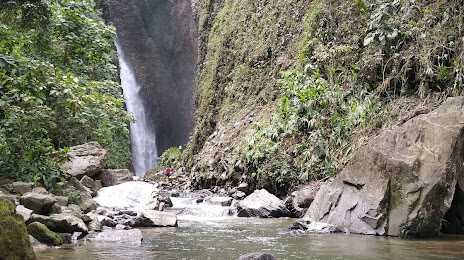
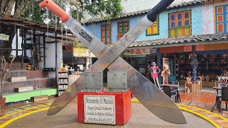
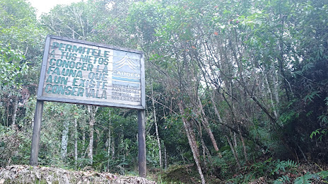
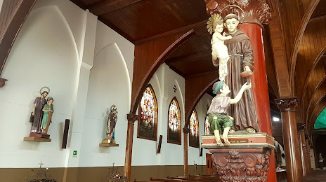
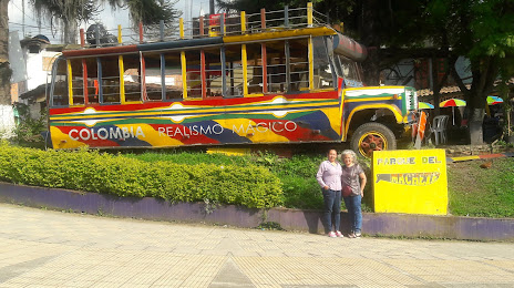
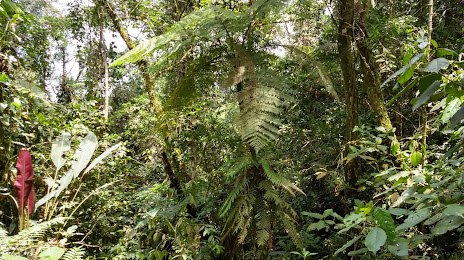
Attractions
Distance to the capital
Distance to the capital (Bogota) is about — 174 km.