
 Sesquile
Guateque
Villagómez
Zipaquirá
San Cayetano
Tunja
Sopó
Manta
Pueblo Viejo
Ubaque
Choconta
Floridablanca
Marmato
Chinchina
Santa Rosa De Cabal
Vijes
Dos Quebradas
El Cerrito
Jamundí
Sesquile
Guateque
Villagómez
Zipaquirá
San Cayetano
Tunja
Sopó
Manta
Pueblo Viejo
Ubaque
Choconta
Floridablanca
Marmato
Chinchina
Santa Rosa De Cabal
Vijes
Dos Quebradas
El Cerrito
Jamundí
Rionegro on the map, Colombia
Where is located Rionegro
Exact location — Rionegro, Antioquia, Colombia, marked on the map with a red marker.
Coordinates
Rionegro, Colombia coordinates in decimal format: latitude — 6.1409294, longitude — -75.4111644. When converted to degrees, minutes, seconds Rionegro has the following coordinates: 6°8′27.35 north latitude and -75°24′40.19 east longitude.
Population
Rionegro, Antioquia, Colombia, according to our data the population is — 62,292 residents, which is about 0.1% of the total population of the country (Colombia).
Comparison of the population on the graph:
Exact time
Time zone for this location Rionegro — UTC -5 America/Bogota. Exact time — friday, 4 april 2024 year, 11 h. 40 minutes.
Sunrise and sunset
Rionegro, sunrise and sunset data for a date — friday 19.04.2024.
| Sunrise | Sunset | Day (duration) |
|---|---|---|
| 05:54 -0 minutes | 18:06 -0 minutes | 12 h. 12 minutes. -0 minutes |
You can control the scale of the map using the auxiliary tools to find out exactly where it is located Rionegro. When you change the scale of the map, the width of the ruler also changes (in kilometers and miles).
Nearby cities
The largest cities that are located nearby:
- Envigado — 20 km
- Itagüi — 23 km
- Medellín — 23 km
- Bello — 27 km
- Manizales — 119 km
- Dos Quebradas — 147 km
- Pereira — 150 km
- Cartago — 164 km
- Armenia — 180 km
- Ibagué — 189 km
- Barrancabermeja — 199 km
- Girardot — 214 km
- Soacha — 217 km
- Tunja — 237 km
- Tuluá — 243 km
- Giron — 266 km
- Buga — 266 km
- Bucaramanga — 274 km
- Floridablanca — 274 km
Distance to neighboring capitals:
- Panama
 (Panama) — 552 km
 - Quito
 (Ecuador) — 781 km
 - San Jose
 (Costa Rica) — 1044 km
 - Caracas
 (Venezuela) — 1052 km
 - Georgetown
 (Guyana) — 1907 km
 - Nuestra Señora de La Paz
 (Bolivia) — 2642 km
 - Asuncion
 (Paraguay) — 3990 km
 - Santiago
 (Chile) — 4431 km
 - Buenos Aires
 (Argentina) — 4872 km
 - Montevideo
 (Uruguay) — 4991 km
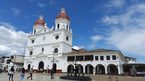
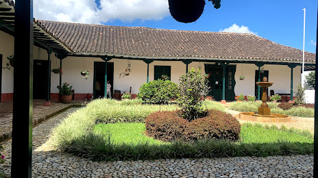
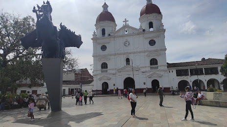
Attractions
Distance to the capital
Distance to the capital (Bogota) is about — 227 km.