
 Bochalema
Cucutilla
Durania
Melgar
Piedras
Tocaima
Espinal
Apulo
Tesalia
Roldanillo
Belmira
Angostura
Concepcion
Santa Rosa De Osos
Guarne
Rionegro
Cotorra
Guayabetal
Quetame
Bochalema
Cucutilla
Durania
Melgar
Piedras
Tocaima
Espinal
Apulo
Tesalia
Roldanillo
Belmira
Angostura
Concepcion
Santa Rosa De Osos
Guarne
Rionegro
Cotorra
Guayabetal
Quetame
Tunja on the map, Colombia
Where is located Tunja
Exact location — Tunja, Tunja, Boyacá, Colombia, marked on the map with a red marker.
Coordinates
Tunja, Colombia coordinates in decimal format: latitude — 5.5454212, longitude — -73.3458163. When converted to degrees, minutes, seconds Tunja has the following coordinates: 5°32′43.52 north latitude and -73°20′44.94 east longitude.
Population
Tunja, Tunja, Boyacá, Colombia, according to our data the population is — 117,480 residents, which is about 0.2% of the total population of the country (Colombia).
Comparison of the population on the graph:
Exact time
Time zone for this location Tunja — UTC -5 America/Bogota. Exact time — friday, 4 april 2024 year, 10 h. 23 minutes.
Sunrise and sunset
Tunja, sunrise and sunset data for a date — friday 19.04.2024.
| Sunrise | Sunset | Day (duration) |
|---|---|---|
| 05:46 -1 minute | 17:57 -1 minute | 12 h. 12 minutes. -0 minutes |
You can control the scale of the map using the auxiliary tools to find out exactly where it is located Tunja. When you change the scale of the map, the width of the ruler also changes (in kilometers and miles).
Nearby cities
The largest cities that are located nearby:
- Sogamoso — 50 km
- Soacha — 144 km
- Villavicencio — 158 km
- Giron — 170 km
- Floridablanca — 170 km
- Barrancabermeja — 176 km
- Bucaramanga — 177 km
- Girardot — 212 km
- Ibagué — 241 km
- Manizales — 245 km
- Envigado — 257 km
- Medellín — 257 km
- Bello — 258 km
- Itagüi — 259 km
- Dos Quebradas — 268 km
- Pereira — 271 km
- Cúcuta — 274 km
- San Cristobal
 (Venezuela) — 275 km
 - Armenia — 280 km
Distance to neighboring capitals:
- Panama
 (Panama) — 781 km
 - Quito
 (Ecuador) — 854 km
 - Caracas (Venezuela) — 897 km
- San Jose
 (Costa Rica) — 1280 km
 - Georgetown
 (Guyana) — 1684 km
 - Nuestra Señora de La Paz
 (Bolivia) — 2518 km
 - Asuncion
 (Paraguay) — 3827 km
 - Santiago
 (Chile) — 4345 km
 - Buenos Aires
 (Argentina) — 4734 km
 - Montevideo
 (Uruguay) — 4846 km
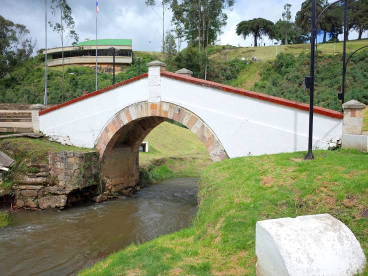
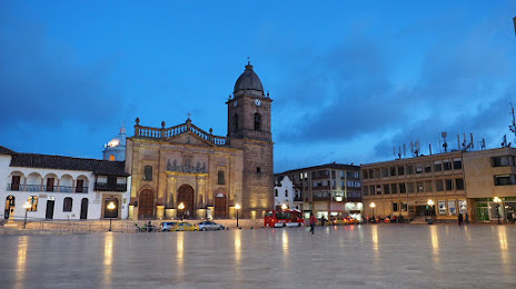
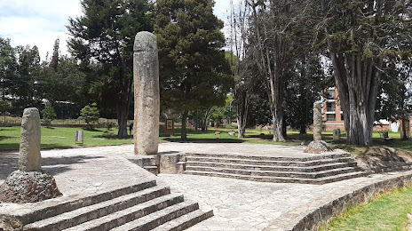
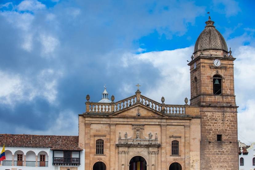
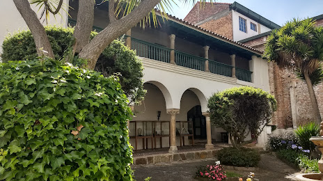
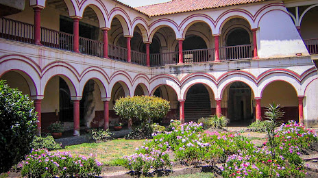
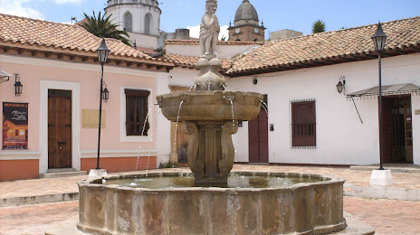
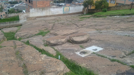
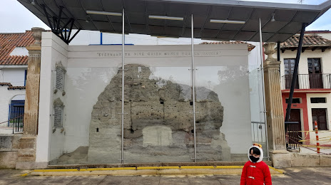
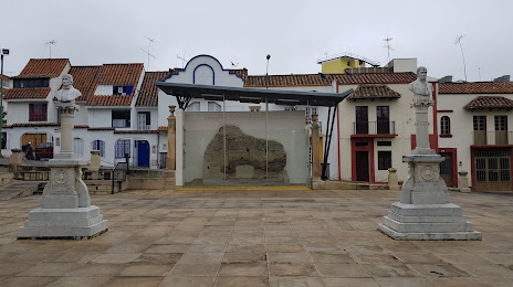
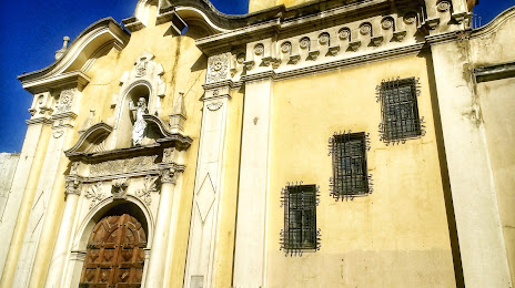
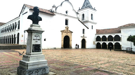
Attractions


Distance to the capital
Distance to the capital (Bogota) is about — 133 km.