
 La Dorada
Charta
Candelaria
Valparaiso
Filadelfia
Salamina
Palmira
Silvania
Montebello
Zipaquirá
Villagómez
Guateque
Sesquile
Choachí
Funza
Dagua
Guacarí
Zarzal
Roldanillo
La Dorada
Charta
Candelaria
Valparaiso
Filadelfia
Salamina
Palmira
Silvania
Montebello
Zipaquirá
Villagómez
Guateque
Sesquile
Choachí
Funza
Dagua
Guacarí
Zarzal
Roldanillo
Valledupar on the map, Colombia
Where is located Valledupar
Exact location — Valledupar, Valledupar, César, Colombia, marked on the map with a red marker.
Coordinates
Valledupar, Colombia coordinates in decimal format: latitude — 10.47692, longitude — -73.25049. When converted to degrees, minutes, seconds Valledupar has the following coordinates: 10°28′36.91 north latitude and -73°15′1.76 east longitude.
Population
Valledupar, Valledupar, César, Colombia, according to our data the population is — 308,242 residents, which is about 0.6% of the total population of the country (Colombia).
Comparison of the population on the graph:
Exact time
Time zone for this location Valledupar — UTC -5 America/Bogota. Exact time — thursday, 4 april 2024 year, 23 h. 09 minutes.
Sunrise and sunset
Valledupar, sunrise and sunset data for a date — thursday 18.04.2024.
| Sunrise | Sunset | Day (duration) |
|---|---|---|
| 05:42 -1 minute | 18:01 -0 minutes | 12 h. 18 minutes. +1 minute |
You can control the scale of the map using the auxiliary tools to find out exactly where it is located Valledupar. When you change the scale of the map, the width of the ruler also changes (in kilometers and miles).
Nearby cities
The largest cities that are located nearby:
- Santa Marta — 134 km
- Maicao — 148 km
- Malambo — 171 km
- Soledad — 172 km
- Barranquilla — 176 km
- Maracaibo
 (Venezuela) — 177 km
 - Cabimas (Venezuela) — 194 km
- Magangué — 213 km
- Cartagena — 248 km
- Sincelejo — 268 km
- Cúcuta — 298 km
- Ejido (Venezuela) — 306 km
- Merida (Venezuela) — 309 km
- San Cristobal (Venezuela) — 319 km
- Monteria — 345 km
- Setpoint (Venezuela) — 359 km
- Bucaramanga — 370 km
- Giron — 377 km
- Floridablanca — 378 km
Distance to neighboring capitals:
- Caracas (Venezuela) — 691 km
- Panama
 (Panama) — 707 km
 - San Jose
 (Costa Rica) — 1188 km
 - Quito
 (Ecuador) — 1318 km
 - Georgetown
 (Guyana) — 1708 km
 - Nuestra Señora de La Paz
 (Bolivia) — 3053 km
 - Asuncion
 (Paraguay) — 4323 km
 - Santiago
 (Chile) — 4892 km
 - Buenos Aires
 (Argentina) — 5254 km
 - Montevideo
 (Uruguay) — 5359 km
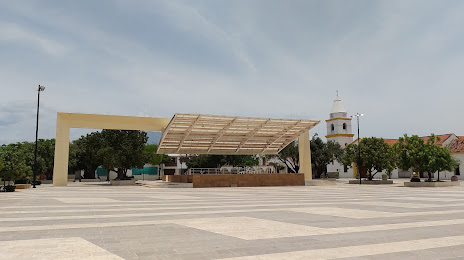
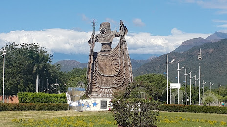
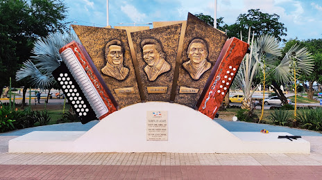
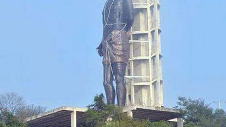
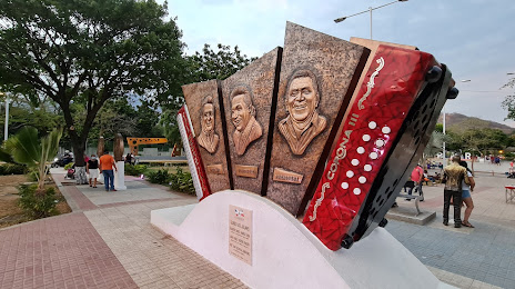
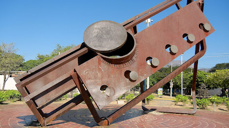
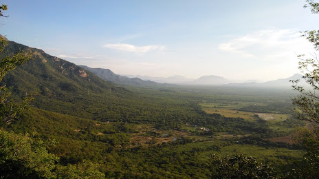
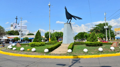
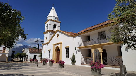
Attractions


Distance to the capital
Distance to the capital (Bogota) is about — 660 km.