
 Montebello
San Martin
Guamal
Ulloa
Lourdes
California
Carmen De Carupa
Cogua
Anserma
Calarcá
Ginebra
Sabanalarga
Pueblo Viejo
Manta
Sopó
Tunja
San Cayetano
Zipaquirá
Villagómez
Montebello
San Martin
Guamal
Ulloa
Lourdes
California
Carmen De Carupa
Cogua
Anserma
Calarcá
Ginebra
Sabanalarga
Pueblo Viejo
Manta
Sopó
Tunja
San Cayetano
Zipaquirá
Villagómez
Tocaima on the map, Colombia
Where is located Tocaima
Exact location — Tocaima, Tocaima, Cundinamarca, Colombia, marked on the map with a red marker.
Coordinates
Tocaima, Colombia coordinates in decimal format: latitude — 4.45948, longitude — -74.63578. When converted to degrees, minutes, seconds Tocaima has the following coordinates: 4°27′34.13 north latitude and -74°38′8.81 east longitude.
Population
Tocaima, Tocaima, Cundinamarca, Colombia, according to our data the population is — 10,235 residents, which is about 0% of the total population of the country (Colombia).
Comparison of the population on the graph:
Exact time
Time zone for this location Tocaima — UTC -5 America/Bogota. Exact time — thursday, 4 april 2024 year, 01 h. 48 minutes.
Sunrise and sunset
Tocaima, sunrise and sunset data for a date — thursday 25.04.2024.
| Sunrise | Sunset | Day (duration) |
|---|---|---|
| 05:51 -0 minutes | 18:01 -0 minutes | 12 h. 12 minutes. -0 minutes |
You can control the scale of the map using the auxiliary tools to find out exactly where it is located Tocaima. When you change the scale of the map, the width of the ruler also changes (in kilometers and miles).
Nearby cities
The largest cities that are located nearby:
- Girardot — 26 km
- Soacha — 48 km
- Ibagué — 66 km
- Armenia — 115 km
- Villavicencio — 116 km
- Manizales — 118 km
- Dos Quebradas — 121 km
- Pereira — 123 km
- Cartago — 144 km
- Tuluá — 177 km
- Neiva — 184 km
- Tunja — 186 km
- Buga — 194 km
- Palmira — 210 km
- Envigado — 217 km
- Itagüi — 217 km
- Medellín — 225 km
- Bello — 231 km
- Sogamoso — 234 km
Distance to neighboring capitals:
- Quito
 (Ecuador) — 669 km
 - Panama
 (Panama) — 737 km
 - Caracas
 (Venezuela) — 1084 km
 - San Jose
 (Costa Rica) — 1207 km
 - Georgetown
 (Guyana) — 1841 km
 - Nuestra Señora de La Paz
 (Bolivia) — 2438 km
 - Asuncion
 (Paraguay) — 3785 km
 - Santiago
 (Chile) — 4236 km
 - Buenos Aires
 (Argentina) — 4667 km
 - Montevideo
 (Uruguay) — 4786 km
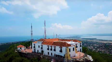
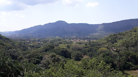
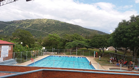
Attractions

Distance to the capital
Distance to the capital (Bogota) is about — 64 km.