
 Yarumal
Marquetalia
Pachavita
Chinú
Florian
Chaguaní
Landázuri
Suesca
Socorro
California
Lourdes
Ulloa
Guamal
San Martin
Montebello
Silvania
Palmira
Salamina
Filadelfia
Yarumal
Marquetalia
Pachavita
Chinú
Florian
Chaguaní
Landázuri
Suesca
Socorro
California
Lourdes
Ulloa
Guamal
San Martin
Montebello
Silvania
Palmira
Salamina
Filadelfia
Chiquinquira on the map, Colombia
Where is located Chiquinquira
Exact location — Chiquinquira, Chiquinquira, Boyacá, Colombia, marked on the map with a red marker.
Coordinates
Chiquinquira, Colombia coordinates in decimal format: latitude — 5.61588, longitude — -73.81562. When converted to degrees, minutes, seconds Chiquinquira has the following coordinates: 5°36′57.17 north latitude and -73°48′56.23 east longitude.
Population
Chiquinquira, Chiquinquira, Boyacá, Colombia, according to our data the population is — 45,295 residents, which is about 0.1% of the total population of the country (Colombia).
Comparison of the population on the graph:
Exact time
Time zone for this location Chiquinquira — UTC -5 America/Bogota. Exact time — friday, 4 april 2024 year, 21 h. 40 minutes.
Sunrise and sunset
Chiquinquira, sunrise and sunset data for a date — friday 19.04.2024.
| Sunrise | Sunset | Day (duration) |
|---|---|---|
| 05:48 -0 minutes | 17:59 -0 minutes | 12 h. 12 minutes. -0 minutes |
You can control the scale of the map using the auxiliary tools to find out exactly where it is located Chiquinquira. When you change the scale of the map, the width of the ruler also changes (in kilometers and miles).
Nearby cities
The largest cities that are located nearby:
- Tunja — 52 km
- Sogamoso — 98 km
- Soacha — 123 km
- Barrancabermeja — 160 km
- Villavicencio — 164 km
- Giron — 176 km
- Floridablanca — 179 km
- Girardot — 182 km
- Bucaramanga — 184 km
- Manizales — 197 km
- Ibagué — 203 km
- Envigado — 205 km
- Medellín — 206 km
- Itagüi — 207 km
- Bello — 207 km
- Dos Quebradas — 221 km
- Pereira — 225 km
- Armenia — 237 km
- Cartago — 250 km
Distance to neighboring capitals:
- Panama
 (Panama) — 732 km
 - Quito
 (Ecuador) — 826 km
 - Caracas
 (Venezuela) — 933 km
 - San Jose
 (Costa Rica) — 1229 km
 - Georgetown
 (Guyana) — 1735 km
 - Nuestra Señora de La Paz
 (Bolivia) — 2538 km
 - Asuncion
 (Paraguay) — 3857 km
 - Santiago
 (Chile) — 4357 km
 - Buenos Aires
 (Argentina) — 4758 km
 - Montevideo
 (Uruguay) — 4871 km
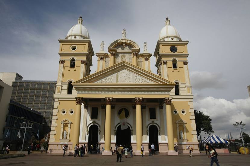
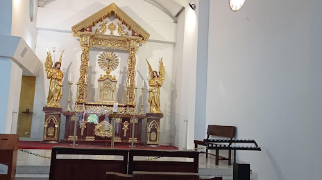
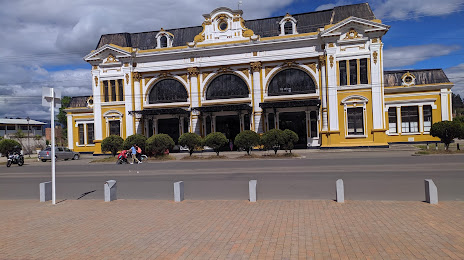
Attractions
Distance to the capital
Distance to the capital (Bogota) is about — 117 km.