
 Bel-Ha
San Jose El Alto
El Porvenir
Nueva Palestina
Santa Lucía
Chemax
La Morita
Temoac
Zacualpan
Bel-Ha
San Jose El Alto
El Porvenir
Nueva Palestina
Santa Lucía
Chemax
La Morita
Temoac
Zacualpan
Laguna Catemaco (Laguna de Catemaco) on the map, Catemaco, Mexico
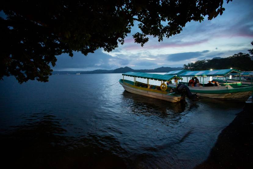
Photo
Where is located Laguna Catemaco (Laguna de Catemaco)
Laguna Catemaco (Laguna de Catemaco) — local attraction, which is located at 72.54 km² and belongs to the category — -. Average visitor rating for this place — 4.8 (according to 58 ratings, information from open sources and relevant for 2022).
Exact location — Laguna Catemaco (Laguna de Catemaco), marked on the map with a red marker.
You can get directions to Laguna Catemaco (Laguna de Catemaco) on the map from your location.
What else is interesting in Catemaco? You can see all the sights if you go to the city page.
Coordinates
Laguna Catemaco (Laguna de Catemaco), Mexico coordinates in decimal format: latitude — 18.42553109517946, longitude — -95.11273621504712. When converted to degrees, minutes, seconds Laguna Catemaco (Laguna de Catemaco) has the following coordinates: 18°25′31.91 north latitude and -95°6′45.85 east longitude.
Nearby cities
The largest cities that are located nearby:
- Coatzacoalcos — 76 km
- Minatitlán — 76 km
- Córdoba — 196 km
- Orizaba — 214 km
- Xalapa — 225 km
- Oaxaca — 227 km
- Villahermosa — 233 km
- Tehuacán — 240 km
- Martínez de la Torre — 271 km
- Tuxtla Gutiérrez — 282 km
- San Cristóbal de las Casas — 322 km
- Puebla — 330 km
- Poza Rica de Hidalgo — 337 km
- Ciudad del Carmen — 347 km
- Tulancingo — 385 km
- Cuautla — 404 km
- Ixtapaluca — 405 km
- Chalco de Díaz Covarrubias — 406 km
- Texcoco — 411 km
Distance to the capital
Distance to the capital (Mexico City) is about — 438 km.