
 Mataró
La Alberca
Sant Joan d'Alacant
San Sebastián
Ronda
Molina de Segura
Granollers
Elda
Almería
Reus
León
Burgos
Oviedo
Alcoi
Pozoblanco
Granada
Castellón de la Plana
Moralzarzal
Arinaga
Mataró
La Alberca
Sant Joan d'Alacant
San Sebastián
Ronda
Molina de Segura
Granollers
Elda
Almería
Reus
León
Burgos
Oviedo
Alcoi
Pozoblanco
Granada
Castellón de la Plana
Moralzarzal
Arinaga
Alcala de Henares on the map, Spain
Where is located Alcala de Henares
Exact location — Alcala de Henares, Madrid, Community of Madrid, Spain, marked on the map with a red marker.
Coordinates
Alcala de Henares, Spain coordinates in decimal format: latitude — 40.4819791, longitude — -3.3635421. When converted to degrees, minutes, seconds Alcala de Henares has the following coordinates: 40°28′55.12 north latitude and -3°21′48.75 east longitude.
Population
Alcala de Henares, Madrid, Community of Madrid, Spain, according to our data the population is — 195,152 residents, which is about 0.4% of the total population of the country (Spain).
Comparison of the population on the graph:
Exact time
Time zone for this location Alcala de Henares — UTC +2 Europe/Madrid. Exact time — friday, 4 april 2024 year, 22 h. 28 minutes.
Sunrise and sunset
Alcala de Henares, sunrise and sunset data for a date — friday 19.04.2024.
| Sunrise | Sunset | Day (duration) |
|---|---|---|
| 07:31 -1 minute | 20:53 +1 minute | 13 h. 24 minutes. +2 minutes |
You can control the scale of the map using the auxiliary tools to find out exactly where it is located Alcala de Henares. When you change the scale of the map, the width of the ruler also changes (in kilometers and miles).
Nearby cities
The largest cities that are located nearby:
- Torrejón de Ardoz — 10 km
- Alcobendas — 24 km
- Getafe — 37 km
- Leganés — 38 km
- Alcorcón — 42 km
- Fuenlabrada — 43 km
- Móstoles — 46 km
- Valladolid — 171 km
- Salamanca — 199 km
- Burgos — 208 km
- Albacete — 209 km
- Logroño — 231 km
- Zaragoza — 242 km
- Vitoria-Gasteiz — 269 km
- Valencia — 278 km
- Pamplona — 293 km
- León — 295 km
- Jaén — 301 km
- Bilbao — 309 km
Distance to neighboring capitals:
- Andorra la Vella
 (Andorra) — 465 km
 - Lisbon
 (Portugal) — 532 km
 - Rabat
 (Morocco) — 787 km
 - Paris
 (France) — 1035 km
 - Paris (France) — 1035 km
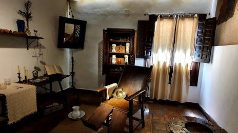
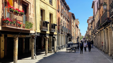
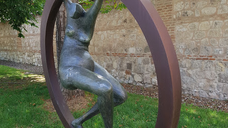
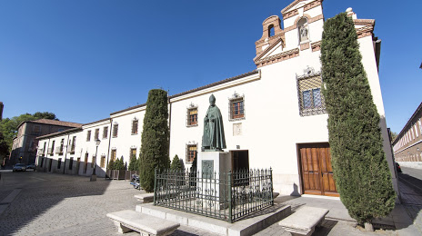
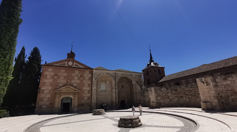
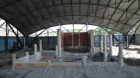
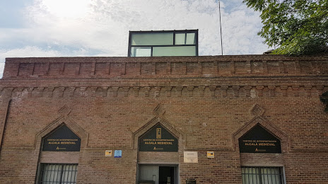
Attractions


Distance to the capital
Distance to the capital (Madrid) is about — 30 km.