 Nuevo Ideal
Sarabia
Río Grande
Coacalco
Cristóbal Obregón
Tixtla
El Limón
Tecuala
Xicoténcatl
Rafael Delgado
Cosamaloapan
Tochimilco
La Llave
La Calera
Villa Unión
Altar Municipality
Huandacareo
El Roble
Loreto
Nuevo Ideal
Sarabia
Río Grande
Coacalco
Cristóbal Obregón
Tixtla
El Limón
Tecuala
Xicoténcatl
Rafael Delgado
Cosamaloapan
Tochimilco
La Llave
La Calera
Villa Unión
Altar Municipality
Huandacareo
El Roble
Loreto
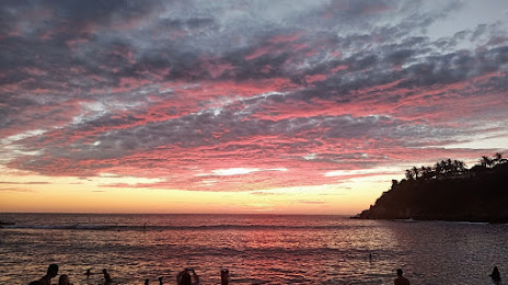
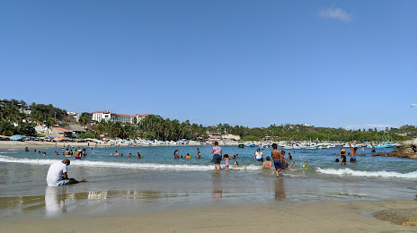
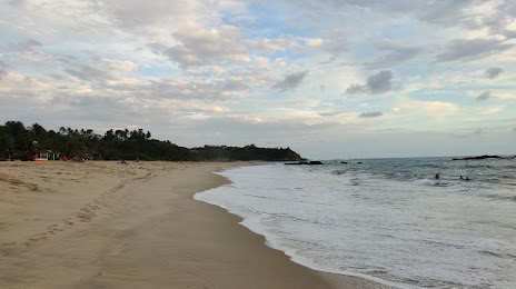
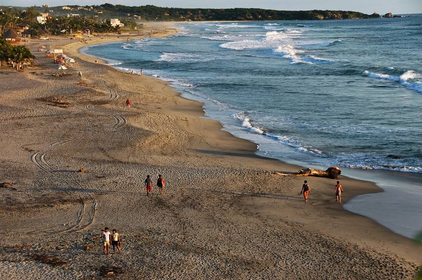
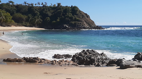
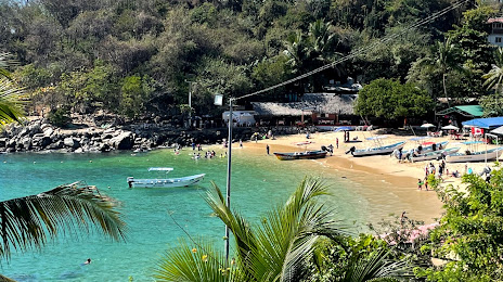
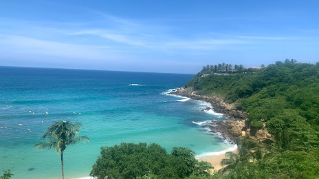
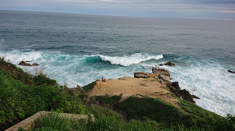
Puerto Escondido on the map, Mexico
Where is located Puerto Escondido
Exact location — Puerto Escondido, Oaxaca, Mexico, marked on the map with a red marker.
Coordinates
Puerto Escondido, Mexico coordinates in decimal format: latitude — 15.8655354, longitude — -97.0694471. When converted to degrees, minutes, seconds Puerto Escondido has the following coordinates: 15°51′55.93 north latitude and -97°4′10.01 east longitude.
Population
Puerto Escondido, Oaxaca, Mexico, according to our data the population is — 19,488 residents, which is about 0% of the total population of the country (Mexico).
Comparison of the population on the graph:
Exact time
Time zone for this location Puerto Escondido — UTC -6 America/Mexico_City. Exact time — wednesday, 4 april 2024 year, 14 h. 11 minutes.
Sunrise and sunset
Puerto Escondido, sunrise and sunset data for a date — wednesday 17.04.2024.
| Sunrise | Sunset | Day (duration) |
|---|---|---|
| 06:14 -0 minutes | 18:41 -0 minutes | 12 h. 30 minutes. -0 minutes |
You can control the scale of the map using the auxiliary tools to find out exactly where it is located Puerto Escondido. When you change the scale of the map, the width of the ruler also changes (in kilometers and miles).
Nearby cities
The largest cities that are located nearby:
- Oaxaca — 137 km
- Tehuacán — 290 km
- Chilpancingo — 317 km
- Acapulco — 317 km
- Orizaba — 330 km
- Córdoba — 334 km
- Minatitlán — 354 km
- Puebla — 371 km
- Coatzacoalcos — 372 km
- Iguala — 377 km
- Cuautla — 381 km
- Jiutepec — 400 km
- Cuernavaca — 406 km
- Xalapa — 407 km
- Chalco de Díaz Covarrubias — 421 km
- Ixtapaluca — 425 km
- Tuxtla Gutiérrez — 431 km
- Ciudad Nezahualcóyotl — 439 km
- Chimalhuacan — 441 km
Distance to neighboring capitals:
- Guatemala City
 (Guatemala) — 715 km
 - Belmopan
 (Belize) — 898 km
 - Tegucigalpa
 (Honduras) — 1077 km
 - Washington
 (United States) — 3221 km
 - Saint John
 (Puerto Rico) — 3299 km
 - Ottawa
 (Canada) — 3845 km
 - Belgrade
 (Serbia) — 10795 km
 - Podgorica
 (Montenegro) — 10844 km
 - Hagåtña
 (Guam) — 12481 km
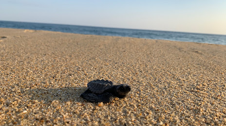
Attractions

Distance to the capital
Distance to the capital (Mexico City) is about — 453 km.